Browse / France / Auvergne-Rhône-Alpes / Lusigny
Lusigny
Auvergne-Rhône-Alpesvillage
Total population
1,651
Demographic figures from INSEE. Overview below cites Wikipedia and may reference a different year.
City facts
Overview
Situated in Auvergne-Rhône-Alpes, France, Lusigny is a village. Lusigny maps to 46.588°, 3.489° — squarely within the temperate belt. Around 1,651 people are recorded as living there in the most recent open data. The village belongs to the 84 administrative unit. Solar-resource estimates put the area at about 1,290 kWh/m² of solar irradiance per year with sunshine for roughly 51% of daylight hours. The latitude suggests four distinct seasons with warm summers and cold winters. Read on for charts and tables covering demographics, climate, hazards, schools, wildlife and other open-data indicators for Lusigny.
Summary composed automatically from structured open data on this page. See our Terms for details.
History & geography
Geography
Coordinates & boundaries from the US Census TIGER/Line shapefiles.
Climate
Air quality
Walkability
Amenities nearby
Wildlife & biodiversity
Most-observed species
- Eurasian BlackbirdTurdus merula Linnaeus, 1758 · Aves343
- Great TitParus major Linnaeus, 1758 · Aves335
- Common ChaffinchFringilla coelebs Linnaeus, 1758 · Aves319
- Eurasian Blue TitCyanistes caeruleus (Linnaeus, 1758) · Aves289
- Common Wood-PigeonColumba palumbus Linnaeus, 1758 · Aves286
- House SparrowPasser domesticus (Linnaeus, 1758) · Aves286
- European RobinErithacus rubecula (Linnaeus, 1758) · Aves263
- Carrion CrowCorvus corone Linnaeus, 1758 · Aves263
Citizen-science & research observations from the Global Biodiversity Information Facility (GBIF).
Earthquake history
Most recent
- M 4.2 — 2022-05-095 km SW of Villebret, France
- M 2.6 — 2008-11-164 km N of Saint-Georges-de-Mons, France
- M 2.7 — 2008-08-176 km WNW of Saint-Pierre-le-Moûtier, France
- M 2.5 — 2008-04-235 km NNE of Manzat, France
- M 2.9 — 2008-03-126 km WSW of Ébreuil, France
- M 2.5 — 2008-03-124 km SW of Ébreuil, France
Events from the USGS Earthquake Catalog (global) (FDSN Event Web Service).
Photos
Sights & places nearby
Notable people from here

People born within ~10 km, from Wikidata (CC0). Click any name for their Wikipedia article.
Nearby places in Auvergne-Rhône-Alpes
- Bourbon-l'Archambault20.5 mi away · pop. 2,554
- Saint-Pourçain-sur-Sioule21.6 mi away · pop. 4,997
- Lapalisse24.5 mi away · pop. 3,137
- Abrest34 mi away · pop. 2,919
- Gannat36.5 mi away · pop. 5,759
- Aigueperse41.5 mi away · pop. 2,736
- Celles-sur-Durolle51 mi away · pop. 1,643
- Riom51.3 mi away · pop. 18,736
- Bourg-de-Thizy54.4 mi away
- Royat60.7 mi away · pop. 4,403
- Le Cendre61.7 mi away · pop. 5,494
- Romagnat62.3 mi away · pop. 7,869
Geography & sun
Elevation, sunrise/sunset and daylight from Open-Meteo. Solar climatology from NASA POWER.
Nearby airports
Public attention
Pageview totals from the Wikimedia Pageviews API.
Books about this place
Recent natural events nearby
Ground air-quality sensors
Recently spotted species
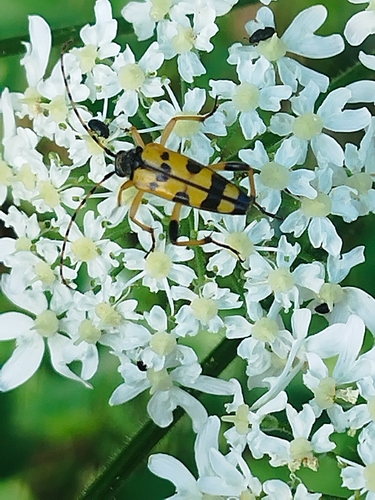
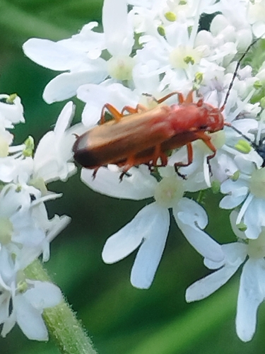

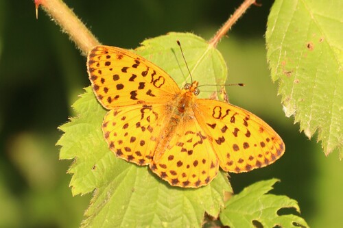
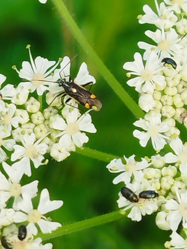
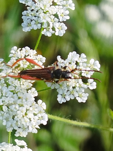
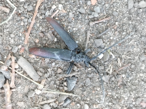
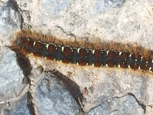
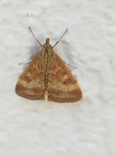
Research-grade observations from iNaturalist (within ~15 mi).
Events
Gallery
Geotagged photos within ~6 miles of Lusigny, from Wikimedia Commons contributors.
 0.9 mi
 0.9 mi
 0.9 mi
 0.9 mi
 0.9 mi
 0.9 mi
 0.9 mi
 0.9 mi
_01.jpg) 2 mi
2 mi 3.3 mi
 4.3 mi
 4.3 mi
 4.3 mi
 4.3 mi
 4.3 mi
 4.3 mi
 4.7 mi
.jpg) 4.7 mi
4.7 mi 4.8 mi
 4.8 mi
 5.3 mi
 5.3 mi
 5.3 mi
 5.3 mi
Photos via Wikimedia Commons — see each image page for license & attribution.
Official Identifiers
INSEE — French National Institute of Statistics
- INSEE code
- 03156
- Department
- 03
- Region
- 84
- Population (Wikidata)
- 1,620
geo.api.gouv.fr
Sources
- • Wikimedia Commons
- • Wikidata
- • USGS Earthquake Catalog (global feed)
- • GBIF (Global Biodiversity Information Facility)
- • iNaturalist
- • Open-Meteo / sunrise-sunset.org
- • Wikipedia Pageviews API
- • INSEE — French national statistics, via geo.api.gouv.fr (official commune code, population, surface, department, region)
- • INSEE — French National Institute of Statistics — geo.api.gouv.fr