Browse / France / Auvergne-Rhône-Alpes / Lyon
Lyon
Auvergne-Rhône-Alpescity

Lyon
Total population
522,250
Air quality index
Demographic figures from INSEE. Overview below cites Wikipedia and may reference a different year.
City facts
Sister cities
Facts from Wikidata (CC0).
Overview
Lyon is a city in France. It is located at the confluence of the rivers Rhône and Saône, to the northwest of the French Alps, 391 km (243 mi) southeast of Paris, 278 km (173 mi) north of Marseille, and 113 km (70 mi) southwest of Geneva, Switzerland.
Read more on WikipediaHistory & geography
History
The name of the city has evolved from the Gallic Lugdunon to the intermediate forms Lugdon to Luon, and developing the present form, Lyon, during the 13th century. The Gallic Lugdun or Lugdunon that was Latinized in Roman as Lugdunum is composed of two words. The first may be the name of the Celtic god Lug (in charge of order and law), or the derived word lugon, meaning "crow" (the crow being the messenger of Lug), but might also be another word lug, meaning "light". The second is dunos ('fortress', 'hill'). The name thus may designate the hill of Fourvière, on which the ancient city of Lyon is founded, but could mean "hill of the god Lug", "hill of the crows" or "shining hill". Alternatively Julius Pokorny associates the first part of the word with the Indo-European radical *lūg ('dark, black, swamp'), the basis of the toponyms Ludza in Latvia, Lusatia in Germany (from Sorbian Łužica), and several places in the Czech Republic named Lužice; it could then also be compared to Luze in Franche-Comté and various hydronyms such as Louge. Further down, in the current Saint-Vincent district, was the Gallic village of Condate, probably a simple hamlet of sailors or fishermen living on the banks of the Saône. Condate is a Gallic word meaning "confluence", from which the Confluence district gets its name. In Roman times the city was called Caput Galliae, meaning "capital of the Gauls". As an homage to this title, the Archbishop of Lyon is still called the Primate of Gaul. During the revolutionary period, Lyon was renamed Commune-Affranchie ("Emancipated Commune") on 12 October 1793 by a decree of the Convention Nationale. It resumed its name in 1794, after the end of the Terror. Lyon is called Liyon in Franco-Provençal. According to the historian Dio Cassius, in 43 BC, the…
Geography
The Rhône and Saône converge to the south of the historic city centre, forming a peninsula – the "Presqu'île" – bounded by two large hills to the west and north and a large plain eastward. Place Bellecour is located on the Presqu'île between the two rivers and is the third-largest public square in France. The broad, pedestrian-only Rue de la République leads north from Place Bellecour. The northern hill is La Croix-Rousse, known as "the hill that works" because it is traditionally home to many small silk workshops, an industry for which the city has long been renowned. The western hill is Fourvière, known as "the hill that prays" because it is the location for Basilica of Notre-Dame de Fourvière, several convents, and Archbishop's residence. The district, Vieux Lyon, also hosts the Tour métallique (a highly visible TV tower, replicating the last stage of the Eiffel Tower) and one of the city's railways. Fourvière, along with portions of the Presqu'île and much of La Croix-Rousse, is designated as a UNESCO World Heritage Site. The mean temperature in Lyon in the coldest month is in January and in the warmest month in July is . Precipitation is adequate year-round, at an average of ; the winter months are the driest. The highest recorded temperature was on 24 August 2023 while the lowest recorded temperature was on 22 December 1938.
Excerpted from the corresponding Wikipedia article (CC BY-SA).
Geography
Coordinates & boundaries from the US Census TIGER/Line shapefiles.
Climate
10-year averages from ERA5 reanalysis (Open-Meteo).
Air quality
Current readings from Open-Meteo Air Quality API (Copernicus CAMS European reanalysis).
Walkability
Amenities nearby
Wildlife & biodiversity
Most-observed species
- Great TitParus major Linnaeus, 1758 · Aves5,047
- Eurasian BlackbirdTurdus merula Linnaeus, 1758 · Aves4,850
- European RobinErithacus rubecula (Linnaeus, 1758) · Aves4,197
- Common Wood-PigeonColumba palumbus Linnaeus, 1758 · Aves4,015
- Eurasian MagpiePica pica (Linnaeus, 1758) · Aves3,687
- Carrion CrowCorvus corone Linnaeus, 1758 · Aves3,652
- House SparrowPasser domesticus (Linnaeus, 1758) · Aves3,521
- Eurasian Blue TitCyanistes caeruleus (Linnaeus, 1758) · Aves3,437
Citizen-science & research observations from the Global Biodiversity Information Facility (GBIF).
Earthquake history
Most recent
- M 3.3 — 2025-05-068 km W of Chapareillan, France
- M 3.4 — 2013-04-061 km SSW of Poisy, France
- M 2.5 — 2008-06-021 km W of Épagny, France
- M 3 — 2008-01-052 km N of Saint-Quentin-Fallavier, France
- M 2.5 — 2007-10-183 km SE of Arlanc, France
- M 3.1 — 2007-07-09France
Events from the USGS Earthquake Catalog (global) (FDSN Event Web Service).
Photos
Sights & places nearby
Notable people from here


People born within ~10 km, from Wikidata (CC0). Click any name for their Wikipedia article.
Nearby places in Auvergne-Rhône-Alpes
- Saint-Cyr-au-Mont-d'Or4.1 mi away · pop. 5,900
- Limonest6.1 mi away · pop. 3,838
- Vaugneray8.5 mi away · pop. 5,571
- Messimy8.6 mi away · pop. 3,543
- Montagny9.8 mi away · pop. 3,200
- La Boisse11.3 mi away · pop. 3,361
- Reyrieux12.3 mi away · pop. 5,098
- Saint-André-de-Corcy13.1 mi away · pop. 3,368
- Anse13.5 mi away · pop. 7,947
- Dagneux13.5 mi away · pop. 4,753
- Satolas15 mi away · pop. 2,520
- Chavagneux15.3 mi away
Geography & sun
Elevation, sunrise/sunset and daylight from Open-Meteo. Solar climatology from NASA POWER.
Nearby airports
Public attention
Pageview totals from the Wikimedia Pageviews API.
Books about Lyon

Search results from Open Library.
Recent natural events nearby
Ground air-quality sensors
Recently spotted species
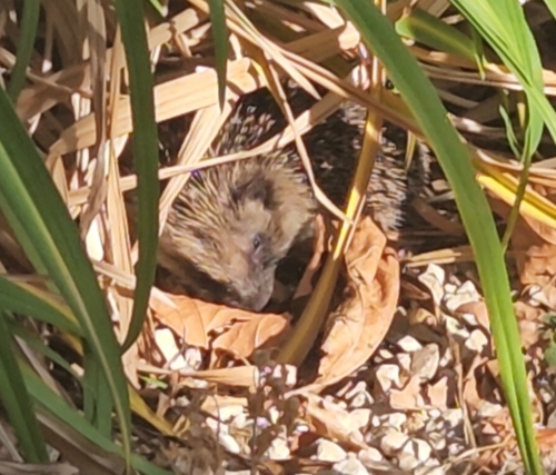
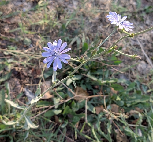
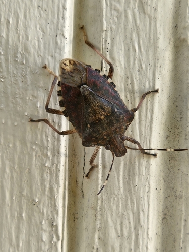
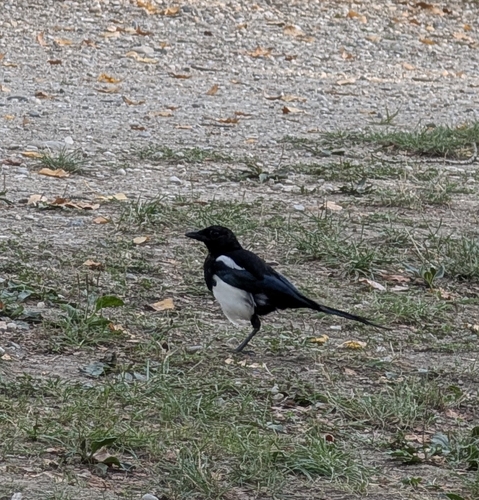
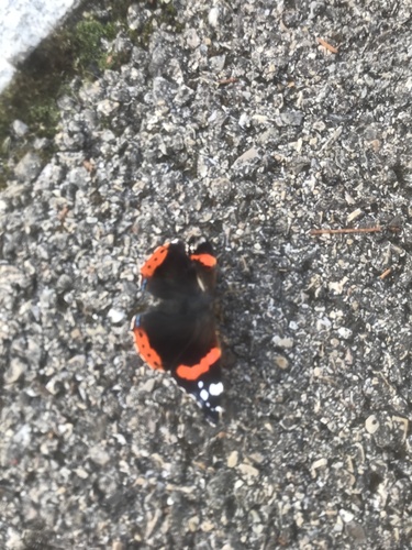
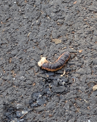
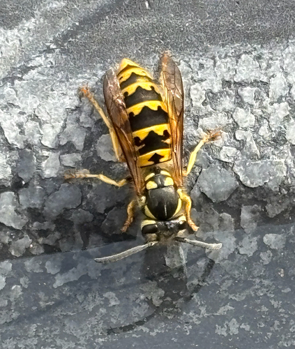

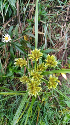
Research-grade observations from iNaturalist (within ~15 mi).
Events
Notable, recurring, and historical events associated with Lyon, sourced from Wikidata.
- 2018 European Conference on Science and TheologyJan 1, 2018recurring event edition
conference on theology and science in 2018
- 2000 European Conference on Science and TheologyJan 1, 2000recurring event edition
conference on theology and science in 2000
- Jan 1, 1989
- Jan 1, 1987
- Journées du logiciel libre de Lyonannual event
- Q140678644recurring event
The Vampire Salon is an event dedicated to fans of gothic and vampire culture. It brings together authors and publishers in a biennial format.
- Q113951706Sep 21, 1921demonstration
Source: Wikidata (CC0).
Gallery
Geotagged photos within ~6 miles of Lyon, from Wikimedia Commons contributors.

.jpg)
.jpg)
.jpg)


.jpg)
.jpg)
.jpg)
.jpg)
.jpg)


Photos via Wikimedia Commons — see each image page for license & attribution.
Official Identifiers
INSEE — French National Institute of Statistics
- INSEE code
- 69123
- Department
- 69
- Region
- 84
- Population (Wikidata)
- 519,127
geo.api.gouv.fr
Sources
- • Wikipedia
- • Open-Meteo (ERA5 reanalysis)
- • Wikimedia Commons
- • Wikidata
- • Open-Meteo Air Quality (CAMS)
- • USGS Earthquake Catalog (global feed)
- • GBIF (Global Biodiversity Information Facility)
- • iNaturalist
- • Open-Meteo / sunrise-sunset.org
- • Wikipedia Pageviews API
- • Open Library
- • Wikidata SPARQL (CC0) — population, area, elevation, inception, head of government, Commons image
- • INSEE — French national statistics, via geo.api.gouv.fr (official commune code, population, surface, department, region)
- • INSEE — French National Institute of Statistics — geo.api.gouv.fr