Browse / France / Bretagne / Martigné-Ferchaud
Martigné-Ferchaud
Bretagnevillage

Martigné-Ferchaud
Total population
2,608
Demographic figures from INSEE. Overview below cites Wikipedia and may reference a different year.
City facts
Facts from Wikidata (CC0).
Overview
Martigné-Ferchaud is a commune in the Ille-et-Vilaine department of Brittany in northwestern France.
Read more on WikipediaHistory & geography
History
In ancient times the town was part of the Riedones, one of the five Breton federations. Following the Roman invasion of 56 BC, it became part of the Province of Lyonnaise, under Governor Martinus. Situated on the Roman road from Angers to Rennes, it was a main crossing point on the Semnon. It is believed to have had a small Roman garrison due to its strategic position as a river crossing and as a centre for arms manufacture. The Roman legions withdrew from Gaul in 410AD. During the feudal period, justice was administered by the local lord, who was required to give service to his sovereign. The service required of the lord of Martigné Ferchaud was two horsemen fully equipped, while that of Vitre was five men-at-arms. The lord of Martigne had the right of High Justice, including capital crime. Martigné Ferchaud was one of the larger country towns in the region and was subject to the barony of Vitre. The title became associated by marriage with that of Chateaubriant in the 11th century. Though predominantly an area of agriculture, metal smelting and working continued in Martigné from Roman times until the early 20th century.
Geography
The town lies in the middle of the commune, on the left bank of the River Semnon, which flows westwards through the commune.
Excerpted from the corresponding Wikipedia article (CC BY-SA).
Geography
Coordinates & boundaries from the US Census TIGER/Line shapefiles.
Climate
Air quality
Walkability
Amenities nearby
Wildlife & biodiversity
Most-observed species
- Common PipistrellePipistrellus pipistrellus (Schreber, 1774) · Mammalia1,022
- Pipistrellus kuhlii (Natterer, 1819)Pipistrellus kuhlii (Natterer, 1819) · Mammalia638
- European RobinErithacus rubecula (Linnaeus, 1758) · Aves169
- Common ChaffinchFringilla coelebs Linnaeus, 1758 · Aves159
- Great TitParus major Linnaeus, 1758 · Aves158
- House SparrowPasser domesticus (Linnaeus, 1758) · Aves150
- Eurasian Blue TitCyanistes caeruleus (Linnaeus, 1758) · Aves147
- Eurasian BlackbirdTurdus merula Linnaeus, 1758 · Aves143
Citizen-science & research observations from the Global Biodiversity Information Facility (GBIF).
Earthquake history
Most recent
- M 4 — 2019-06-212 km WSW of Vihiers, France
- M 3.6 — 2017-09-281 km WNW of Tresbœuf, France
- M 3.5 — 2016-06-194 km ESE of La Jumellière, France
- M 2.5 — 2008-09-192 km NNE of Montigné-le-Brillant, France
- M 2.6 — 2008-08-283 km E of Mauron, France
- M 2.5 — 2008-08-113 km NW of Péaule, France
Events from the USGS Earthquake Catalog (global) (FDSN Event Web Service).
Photos
Sights & places nearby
Notable people from here


People born within ~10 km, from Wikidata (CC0). Click any name for their Wikipedia article.
Geography & sun
Nearby airports
Public attention
Books about this place
Recent natural events nearby
Ground air-quality sensors
Recently spotted species
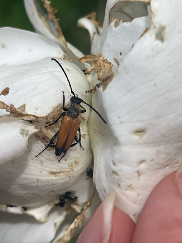
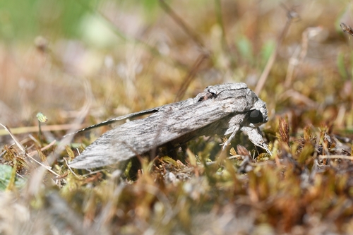
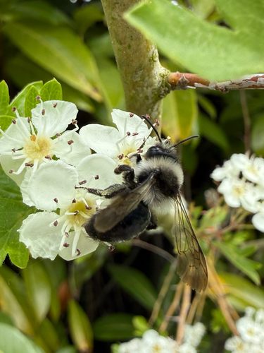
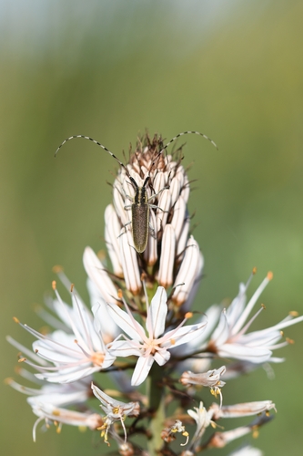
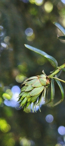
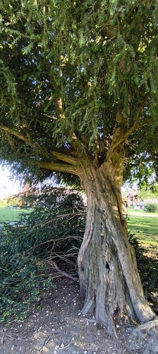
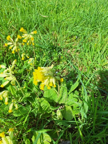
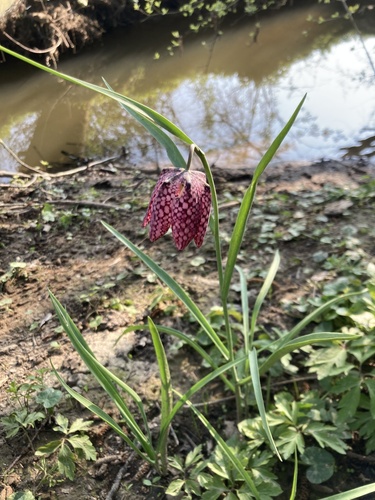
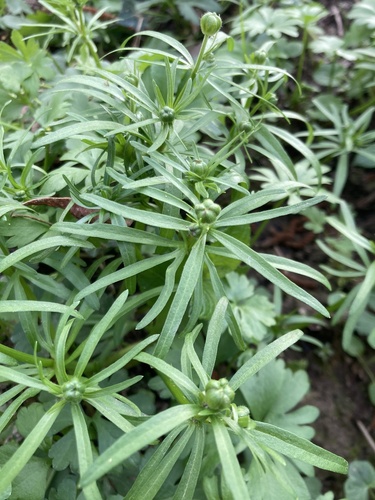
Research-grade observations from iNaturalist (within ~15 mi).
Events
Gallery
Official Identifiers
INSEE — French National Institute of Statistics
- INSEE code
- 35167
- Department
- 35
- Region
- 53
- Population (Wikidata)
- 2,688
geo.api.gouv.fr
Sources
- • Wikipedia
- • Wikidata
- • USGS Earthquake Catalog (global feed)
- • GBIF (Global Biodiversity Information Facility)
- • iNaturalist
- • INSEE — French national statistics, via geo.api.gouv.fr (official commune code, population, surface, department, region)
- • INSEE — French National Institute of Statistics — geo.api.gouv.fr