Browse / France / Occitanie / Mazamet
Mazamet
Occitanietown

Mazamet
Total population
10,064
Demographic figures from INSEE. Overview below cites Wikipedia and may reference a different year.
City facts
Sister cities
Facts from Wikidata (CC0).
Overview
Mazamet is a commune in the Tarn department of southern France, in the Occitanie region. It lies at the northern foot of the Montagne Noire, where the Arnette descends towards the valley of the Thoré. The town was a centre of woollen textiles and, later, délainage, the industrial removal of wool from sheepskins. Its former factories, merchants' houses and workers' neighbourhoods reflect that history.
Read more on WikipediaHistory & geography
History
Woollen cloth was made in the Thoré valley before Mazamet became a major industrial town. During the late eighteenth and early nineteenth centuries, merchants supplied raw materials to artisans who worked in their homes. Producers gradually expanded their markets and invested in workshops and factories. Pierre Olombel was among the merchants associated with improvements in cloth production, while Pierre-Élie Houlès helped introduce machinery and develop sales beyond the region. Industrial growth changed both the town and its surroundings. Factories were built along watercourses, and workers moved towards the places where production was concentrated. Mazamet's railway station opened in 1866, improving connections for the movement of goods. From the second half of the nineteenth century, délainage became a defining activity of Mazamet. The process separated wool from imported sheepskins, allowing the wool and hides to be sold to different industries. Trading networks reached beyond France, while the factories, warehouses and commercial buildings of Mazamet and the Thoré valley expanded around the business. Wool processing and related trades shaped the town's economy into the twentieth century. The industry's prosperity was unevenly reflected in the townscape. Manufacturers and merchants commissioned substantial houses, while workers lived in denser neighbourhoods near places of employment. Industrial decline later left Mazamet with a built heritage that records both the scale of its former trade and the different lives of those who sustained it.
Geography
Mazamet stands between the steep, wooded northern slopes of the Montagne Noire and the lower ground of the Thoré valley. The Arnette and other streams cut through the surrounding hills before reaching the valley. Their flow provided power for mills and, subsequently, textile factories. The area's rocks include schist, gneiss and granite, while woodland has long been a feature of the higher slopes. The commune is within the Haut-Languedoc Regional Natural Park. The nearby Montagnès lake, originally developed as a water reservoir for the urban area, is part of the landscape above the town. Mazamet's position at the foot of the Montagne Noire gives it a climate influenced by both the surrounding uplands and the lower valleys of southern France. Conditions vary with altitude: the higher, wooded slopes are cooler and wetter than the town below. Rainfall and streams from the mountain have been important to the landscape and to Mazamet's industrial development. The woodland, streams and upland habitats around Mazamet form part of the wider natural environment of the Haut-Languedoc Regional Natural Park. Oaks, beeches and chestnuts have historically grown on the slopes, although conifers are prominent in some higher areas today. The contrast between river valleys and wooded hills provides a variety of habitats close to the town.
Excerpted from the corresponding Wikipedia article (CC BY-SA).
Geography
Coordinates & boundaries from the US Census TIGER/Line shapefiles.
Climate
Air quality
Walkability
Amenities nearby
Wildlife & biodiversity
Earthquake history
Photos
Sights & places nearby
Notable people from here


People born within ~10 km, from Wikidata (CC0). Click any name for their Wikipedia article.
Nearby places in Occitanie
- Pont-de-l'Arn1.8 mi away · pop. 2,786
- Saint-Amans-Valtoret5.8 mi away · pop. 861
- Noailhac5.9 mi away · pop. 843
- Valdurenque6.3 mi away · pop. 874
- Labruguière6.6 mi away · pop. 6,538
- Pradelles-Cabardès6.7 mi away · pop. 154
- Mas-Cabardès8.3 mi away · pop. 175
- Le Bez9.6 mi away · pop. 874
- Villanière10.3 mi away · pop. 142
- Salsigne11.1 mi away · pop. 377
- Saïx11.6 mi away · pop. 3,680
- Fraisse-Cabardès12.5 mi away · pop. 104
Geography & sun
Elevation, sunrise/sunset and daylight from Open-Meteo. Solar climatology from NASA POWER.
Nearby airports
Public attention
Pageview totals from the Wikimedia Pageviews API.
Books about this place
Recent natural events nearby
Ground air-quality sensors
Recently spotted species
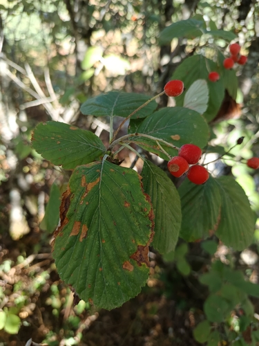
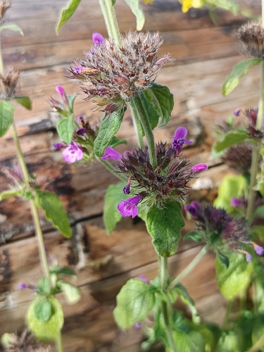
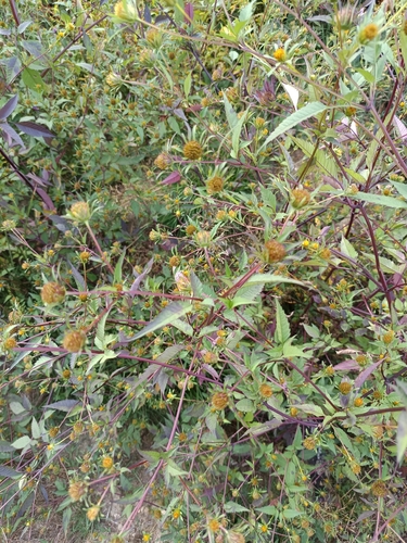
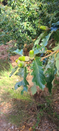
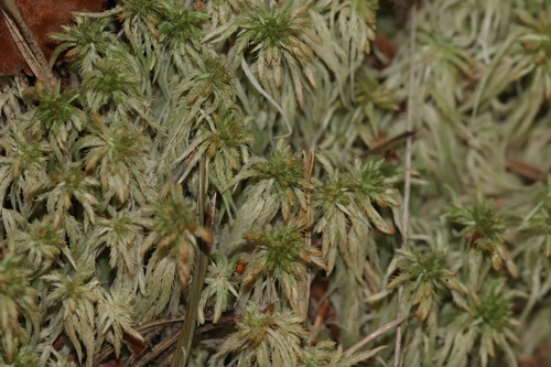

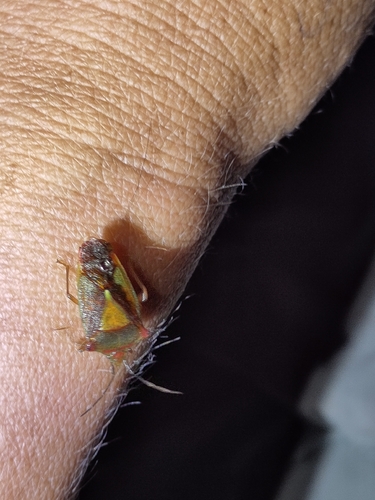
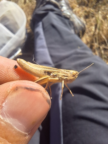
Research-grade observations from iNaturalist (within ~15 mi).
Events
Gallery
Official Identifiers
INSEE — French National Institute of Statistics
- INSEE code
- 81163
- Department
- 81
- Region
- 76
- Population (Wikidata)
- 10,085
geo.api.gouv.fr
Sources
- • Wikipedia
- • Wikidata
- • iNaturalist
- • Open-Meteo / sunrise-sunset.org
- • Wikipedia Pageviews API
- • Wikidata SPARQL (CC0) — population, area, elevation, inception, head of government, Commons image
- • INSEE — French national statistics, via geo.api.gouv.fr (official commune code, population, surface, department, region)
- • INSEE — French National Institute of Statistics — geo.api.gouv.fr