Browse / France / Grand Est / Metz
Metz
Grand Estcity

Metz
Total population
120,874
Demographic figures from INSEE. Overview below cites Wikipedia and may reference a different year.
City facts
Sister cities
Facts from Wikidata (CC0).
Overview
Metz is a city in northeast France located at the confluence of the Moselle and the Seille rivers. Metz is the prefecture of the Moselle department and the seat of the parliament of the Grand Est region. Located near the tripoint along the junction of France, Germany and Luxembourg, the city forms a central part of the European Greater Region and the SaarLorLux euroregion.
Read more on WikipediaHistory & geography
History
Metz has a recorded history dating back over 2,000 years. Before the conquest of Gaul by Julius Caesar in 52 BC, it was the oppidum of the Celtic Mediomatrici tribe. Between the 6th and 8th centuries, the city was the residence of the Merovingian kings of Austrasia. As the German Protestant Princes who traded Metz (alongside Toul and Verdun) for the promise of French military assistance, had no authority to cede territory of the Holy Roman Empire, the change of jurisdiction was not recognised by the Holy Roman Empire until the Treaty of Westphalia in 1648. Under French rule, Metz was selected as capital of the Three Bishoprics and became a strategic fortified town. With creation of the departments by the Estates-General of 1789, Metz was chosen as capital of the Department of Moselle. Metz remained German until the end of the First World War, when it reverted to France. However, after the Battle of France during the Second World War, the city was annexed by Nazi Germany. During the 1950s, Metz was chosen to be the capital of the newly created Lorraine region. With the creation of the European Community and the later European Union, the city has become central to the Greater Region and the SaarLorLux Euroregion.
Geography
Metz is located on the banks of the Moselle and the Seille rivers, from the Schengen tripoint where the borders of France, Germany and Luxembourg meet. The terrain of Metz forms part of the Paris Basin and presents a plateau relief cut by river valleys presenting cuestas in the north–south direction. Metz and its surrounding countryside are included in the forest and crop Lorraine Regional Natural Park, covering a total area of . Lorraine has an oceanic climate tending to continental humid. The summers are warm and humid, sometimes stormy, and the warmest month of the year is July, when daytime temperatures average approximately . The winters are cold but not often snowy with temperature dropping to an average low of in January. Lows can be much colder through the night and early morning and rare snow can fall during a period extending from November to February. The length of the day varies significantly over the course of the year. The shortest day is 21 December with 7:30 hours of sunlight; the longest day is 20 June with 16:30 hours of sunlight. The median cloud cover is 93% and does not vary substantially over the course of the year. |source 2= Weather Atlas (sunshine hours) }}
Excerpted from the corresponding Wikipedia article (CC BY-SA).
Geography
Coordinates & boundaries from the US Census TIGER/Line shapefiles.
Climate
Air quality
Walkability
Amenities nearby
Wildlife & biodiversity
Most-observed species
- Great TitParus major Linnaeus, 1758 · Aves1,454
- Eurasian BlackbirdTurdus merula Linnaeus, 1758 · Aves1,249
- House SparrowPasser domesticus (Linnaeus, 1758) · Aves1,196
- Eurasian Blue TitCyanistes caeruleus (Linnaeus, 1758) · Aves1,173
- Eurasian Collared-DoveStreptopelia decaocto (Frivaldszky, 1838) · Aves1,163
- Common ChaffinchFringilla coelebs Linnaeus, 1758 · Aves922
- European RobinErithacus rubecula (Linnaeus, 1758) · Aves883
- Eurasian MagpiePica pica (Linnaeus, 1758) · Aves833
Citizen-science & research observations from the Global Biodiversity Information Facility (GBIF).
Earthquake history
Most recent
- M 3 — 2008-09-282 km SSW of Saarwellingen, Germany
- M 2.5 — 2008-08-272 km S of Jeanménil, France
- M 2.5 — 2008-05-031 km SE of Saarwellingen, Germany
- M 2.6 — 2008-04-301 km NNW of Jeanménil, France
- M 2.5 — 2008-04-191 km SSW of Saarwellingen, Germany
- M 4.5 — 2008-02-233 km ENE of Saarwellingen, Germany
Events from the USGS Earthquake Catalog (global) (FDSN Event Web Service).
Photos
Sights & places nearby
Notable people from here


People born within ~10 km, from Wikidata (CC0). Click any name for their Wikipedia article.
Nearby places in Grand Est
- Saint-Julien-lès-Metz1.6 mi away · pop. 3,514
- Moulins-lès-Metz3.2 mi away · pop. 5,088
- Ars-sur-Moselle5.4 mi away · pop. 4,651
- Gravelotte6.6 mi away · pop. 810
- Marange-Silvange7.2 mi away · pop. 6,527
- Saint-Privat-la-Montagne7.9 mi away · pop. 1,885
- Talange8.1 mi away · pop. 7,938
- Hagondange9.3 mi away · pop. 9,321
- Sainte-Marie-aux-Chênes9.5 mi away · pop. 4,505
- Montois-la-Montagne9.7 mi away · pop. 2,723
- Rombas9.8 mi away · pop. 9,697
- Mondelange9.8 mi away · pop. 5,720
Geography & sun
Elevation, sunrise/sunset and daylight from Open-Meteo. Solar climatology from NASA POWER.
Nearby airports
Public attention
Pageview totals from the Wikimedia Pageviews API.
Books about Metz
Search results from Open Library.
Recent natural events nearby
Ground air-quality sensors
Recently spotted species
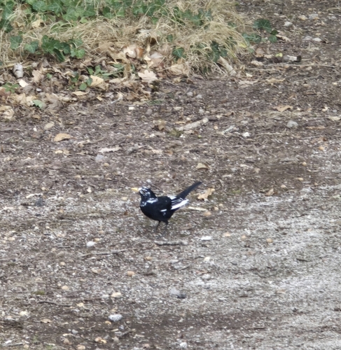
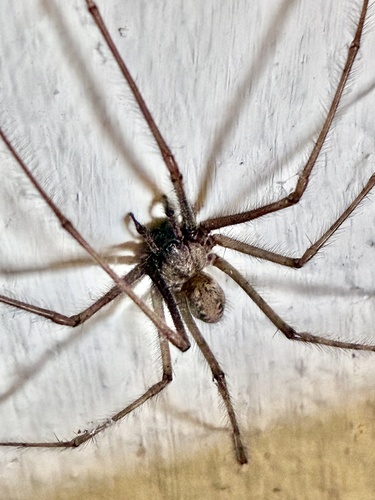
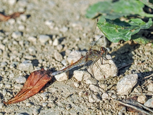
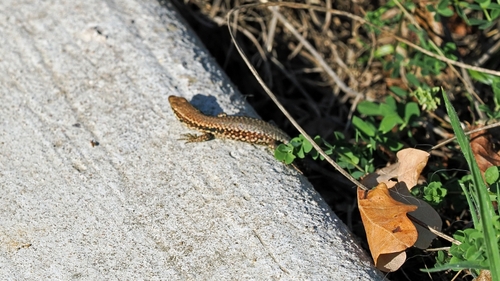
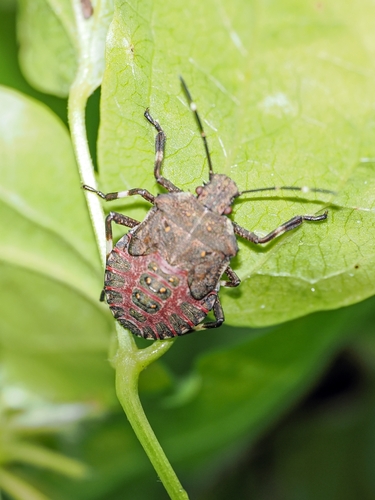
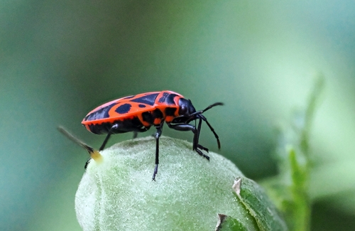
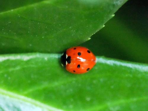
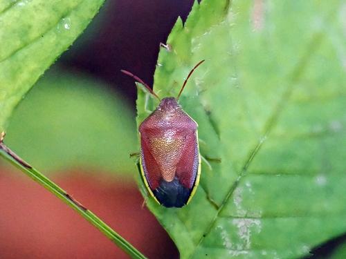
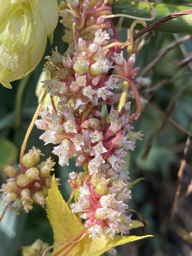
Research-grade observations from iNaturalist (within ~15 mi).
Events
Gallery
Geotagged photos within ~6 miles of Metz, from Wikimedia Commons contributors.


,_Metz,_Lorraine,_France_-_panoramio.jpg)


_-_2022-02-25_-_3.jpg)
_-_2022-02-25_-_6.jpg)
_-_2022-02-25_-_4.jpg)
_-_2022-02-25_-_5.jpg)
_-_2022-02-25_-_1.jpg)
_-_2022-02-25_-_3.jpg)
_-_2022-02-25_-_2.jpg)
_-_2022-02-25_-_1.jpg)
_-_2022-02-25_-_1.jpg)
_-_2022-02-25_-_2.jpg)
_-_2022-02-25_-_2.jpg)
_-_2022-02-25_-_1.jpg)
_-_2022-02-27_-_11.jpg)
_-_2022-02-27_-_12.jpg)
_-_2022-02-27_-_14.jpg)
_-_2022-02-27_-_13.jpg)
Photos via Wikimedia Commons — see each image page for license & attribution.
Official Identifiers
INSEE — French National Institute of Statistics
- INSEE code
- 57463
- Department
- 57
- Region
- 44
- Population (Wikidata)
- 122,572
geo.api.gouv.fr
Sources
- • Wikipedia
- • Wikimedia Commons
- • Wikidata
- • USGS Earthquake Catalog (global feed)
- • GBIF (Global Biodiversity Information Facility)
- • iNaturalist
- • Open-Meteo / sunrise-sunset.org
- • Wikipedia Pageviews API
- • Open Library
- • Wikidata SPARQL (CC0) — population, area, elevation, inception, head of government, Commons image
- • INSEE — French national statistics, via geo.api.gouv.fr (official commune code, population, surface, department, region)
- • INSEE — French National Institute of Statistics — geo.api.gouv.fr