Browse / France / Centre-Val de Loire / Meung-sur-Loire
Meung-sur-Loire
Centre-Val de Loirevillage

Meung-sur-Loire
Total population
6,567
Air quality index
Demographic figures from INSEE. Overview below cites Wikipedia and may reference a different year.
City facts
Sister cities
Facts from Wikidata (CC0).
Overview
Meung-sur-Loire is a commune in the Loiret department, north-central France.
Read more on WikipediaHistory & geography
History
There is evidence of Mesolithic settlements at "Mousseau" and "La Haute-Murée". A Gallo-Roman fortified village recorded as Magdunum was built in the marais adjoining the river, which in 409 was fired by the invading Alans. The marais was drained, according to tradition by Saint Liphard around the year 520. The canalisation formed the watercourses known as the mauves. He went on to build the chapel which was to become the monastery and the abbey. His relics were deposited in the church in 1104, the year after Louis VI had founded as fortress. During the 12th century the church was rebuilt in the gothic style, and fortified accommodation for the abbot built alongside. Jeanne d'Arc visited in 1429, and this was the site of the Battle of Meung-sur-Loire. The complex was restored in 1570, again during the 19th century and again in 1985. The river defined the town, in 1857, 38 mills had the right to use the waters of the rivers to power themselves.
Geography
Meung-sur-Loire lies 15 km to the west of Orléans on the north bank of the river Loire at the confluence with . The Mauves, actually three rivers, have their source in the water table of the productive agricultural region of the Beauce. Image:loire meung sur loire.jpg|The Loire at Meung-sur-Loire Image:chmeung.jpg|The Mauve in Meung-sur-Loire
Excerpted from the corresponding Wikipedia article (CC BY-SA).
Geography
Coordinates & boundaries from the US Census TIGER/Line shapefiles.
Climate
10-year averages from ERA5 reanalysis (Open-Meteo).
Air quality
Current readings from Open-Meteo Air Quality API (Copernicus CAMS European reanalysis).
Walkability
Amenities nearby
Wildlife & biodiversity
Most-observed species
- Eurasian BlackbirdTurdus merula Linnaeus, 1758 · Aves1,556
- Common Wood-PigeonColumba palumbus Linnaeus, 1758 · Aves1,279
- Great TitParus major Linnaeus, 1758 · Aves1,247
- House SparrowPasser domesticus (Linnaeus, 1758) · Aves1,236
- European RobinErithacus rubecula (Linnaeus, 1758) · Aves939
- Common ChaffinchFringilla coelebs Linnaeus, 1758 · Aves932
- Eurasian Blue TitCyanistes caeruleus (Linnaeus, 1758) · Aves922
- Eurasian Collared-DoveStreptopelia decaocto (Frivaldszky, 1838) · Aves733
Citizen-science & research observations from the Global Biodiversity Information Facility (GBIF).
Earthquake history
Most recent
- M 3 — 2008-06-073 km ENE of Cangey, France
- M 3 — 2007-12-173 km W of Chaumont-sur-Loire, France
- M 3.4 — 2007-12-173 km W of Chaumont-sur-Loire, France
- M 3.4 — 2007-08-309 km NNE of Châtillon-sur-Indre, France
- M 2.6 — 2004-12-0410 km SSE of Luçay-le-Mâle, France
- M 2.6 — 2004-05-084 km N of Nouzilly, France
Events from the USGS Earthquake Catalog (global) (FDSN Event Web Service).
Photos
Sights & places nearby
Notable people from here


People born within ~10 km, from Wikidata (CC0). Click any name for their Wikipedia article.
Nearby places in Centre-Val de Loire
- Cléry-Saint-André2.8 mi away · pop. 3,520
- Lailly-en-Val3.9 mi away · pop. 3,098
- Chaingy5.3 mi away · pop. 4,047
- Rozières-en-Beauce8 mi away · pop. 179
- Josnes8.2 mi away · pop. 850
- Avaray9.4 mi away · pop. 699
- Gémigny9.5 mi away · pop. 214
- Ormes9.7 mi away · pop. 4,333
- Ouzouer-le-Marché9.7 mi away · pop. 3,393
- Olivet9.9 mi away · pop. 22,855
- Boulay-les-Barres11.4 mi away · pop. 1,052
- Saran11.9 mi away · pop. 16,679
Geography & sun
Elevation, sunrise/sunset and daylight from Open-Meteo. Solar climatology from NASA POWER.
Nearby airports
Public attention
Pageview totals from the Wikimedia Pageviews API.
Books about this place
Recent natural events nearby
Ground air-quality sensors
Recently spotted species
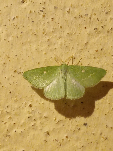
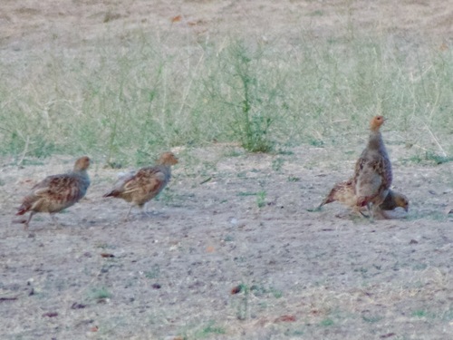
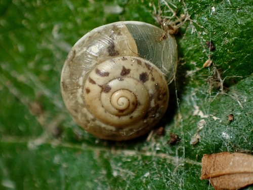
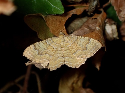
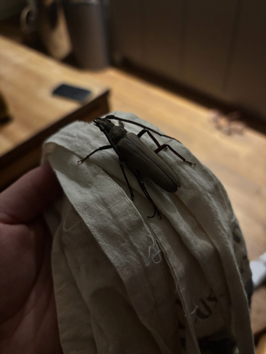

Research-grade observations from iNaturalist (within ~15 mi).
Events
Gallery
Geotagged photos within ~6 miles of Meung-sur-Loire, from Wikimedia Commons contributors.
 0.1 mi
 0.1 mi
 0.1 mi
 0.2 mi
 0.2 mi
 0.2 mi
 0.2 mi
 0.2 mi
 0.2 mi
_(9081958381).jpg) 0.2 mi
0.2 mi_(9081963121).jpg) 0.2 mi
0.2 mi_(9084172368).jpg) 0.2 mi
0.2 mi_(9081988487).jpg) 0.2 mi
0.2 mi_(9083037731).jpg) 0.2 mi
0.2 mi_(9084921704).jpg) 0.2 mi
0.2 mi_(9082472415).jpg) 0.2 mi
0.2 mi_(9085201344).jpg) 0.2 mi
0.2 mi_(9083319641).jpg) 0.2 mi
0.2 mi_(9086430460).jpg) 0.2 mi
0.2 mi_(9089028547).jpg) 0.2 mi
0.2 mi_(9084238244).jpg) 0.2 mi
0.2 mi_(9091242778).jpg) 0.2 mi
0.2 mi_(9091253538).jpg) 0.2 mi
0.2 mi_(9091805278).jpg) 0.2 mi
0.2 miPhotos via Wikimedia Commons — see each image page for license & attribution.
Official Identifiers
INSEE — French National Institute of Statistics
- INSEE code
- 45203
- Department
- 45
- Region
- 24
- Population (Wikidata)
- 6,670
geo.api.gouv.fr
Sources
- • Wikipedia
- • Open-Meteo (ERA5 reanalysis)
- • Wikimedia Commons
- • Wikidata
- • Open-Meteo Air Quality (CAMS)
- • USGS Earthquake Catalog (global feed)
- • GBIF (Global Biodiversity Information Facility)
- • iNaturalist
- • Open-Meteo / sunrise-sunset.org
- • Wikipedia Pageviews API
- • INSEE — French national statistics, via geo.api.gouv.fr (official commune code, population, surface, department, region)
- • INSEE — French National Institute of Statistics — geo.api.gouv.fr