Browse / France / Occitanie / Montauban
Montauban
Occitanietown

Montauban
Total population
61,919
Demographic figures from INSEE. Overview below cites Wikipedia and may reference a different year.
City facts
Facts from Wikidata (CC0).
Overview
Montauban is a commune in the southern French department of Tarn-et-Garonne. It is the capital of the department and lies 50 kilometres (31 mi) north of Toulouse. Montauban is the most populated town in Tarn-et-Garonne, and the sixth most populated in Occitanie behind Toulouse, Montpellier, Nîmes, Perpignan and Béziers. In 2023, there were 62,945 inhabitants, called Montalbanais in French. The town has been classified in the French Towns and Lands of Art and History network since 2015.
Read more on WikipediaHistory & geography
History
Montauban is the second oldest (after Mont-de-Marsan) of the bastides of southern France. Its foundation dates from 1144 when Count Alphonse Jourdain of Toulouse, granted it a liberal charter. The inhabitants were drawn chiefly from Montauriol, a village which had grown up around the neighbouring monastery of St Théodard. In the 13th century the town suffered much from the ravages of the Albigensian war and from the Inquisition, but by 1317 it had recovered sufficiently to be chosen by John XXII as the head of a diocese of which the basilica of St Théodard became the cathedral. In 1360, under the Treaty of Brétigny, it was ceded to the English; they were expelled by the inhabitants in 1414. In 1560 the bishops and magistrates embraced Protestantism, expelled the monks, and demolished the cathedral. Ten years later it became one of the four Huguenot strongholds under the Peace of Saint-Germain, and formed a small independent republic. It was the headquarters of the Huguenot rebellion of 1621, and successfully withstood an 86-day siege by Louis XIII. Because Montauban was a Protestant town, it resisted and held its position against royal power, refusing to give allegiance to the Catholic King. To scare off the King's opponents and speed up the end of the siege, 400 cannonballs were fired, but Montauban resisted and the royal army was vanquished. Saint Jacques church is still marked by the cannonballs, and every year in September, the city celebrates "les 400 coups" (the 400 shots), which has become a common phrase in French. Montauban did not submit to royal authority until after the fall of La Rochelle in 1629, when its fortifications were destroyed by Cardinal Richelieu. The Protestants again suffered persecution later in the century, as Louis XIV began to…
Excerpted from the corresponding Wikipedia article (CC BY-SA).
Geography
Coordinates & boundaries from the US Census TIGER/Line shapefiles.
Climate
Air quality
Walkability
Amenities nearby
Wildlife & biodiversity
Earthquake history
Photos
Sights & places nearby
Notable people from here


People born within ~10 km, from Wikidata (CC0). Click any name for their Wikipedia article.
Nearby places in Occitanie
- Caussade13.4 mi away · pop. 6,804
- Castelnau-d'Estrétefonds16.2 mi away · pop. 6,814
- Larroque16.7 mi away · pop. 155
- La Magdelaine-sur-Tarn17.1 mi away · pop. 1,199
- Villeneuve-lès-Bouloc17.5 mi away · pop. 1,663
- Bessières19.6 mi away · pop. 4,197
- Bruguières20.2 mi away · pop. 5,957
- Gagnac-sur-Garonne22.1 mi away · pop. 3,192
- Cabanac-Séguenville22.3 mi away · pop. 179
- Mézens22.4 mi away · pop. 524
- Saint-Alban22.7 mi away · pop. 6,454
- Gémil22.8 mi away · pop. 348
Geography & sun
Elevation, sunrise/sunset and daylight from Open-Meteo. Solar climatology from NASA POWER.
Nearby airports
Public attention
Pageview totals from the Wikimedia Pageviews API.
Books about this place
Recent natural events nearby
Ground air-quality sensors
Recently spotted species
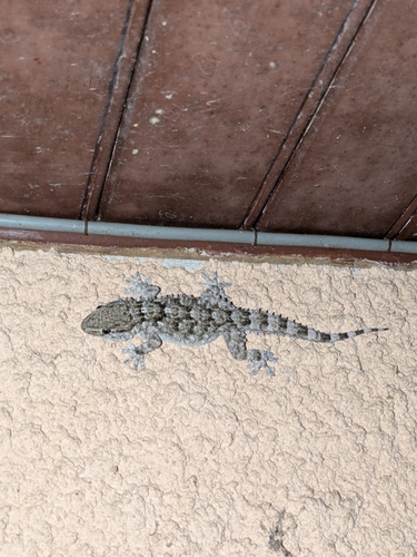
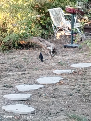
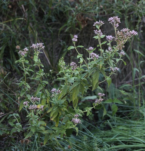
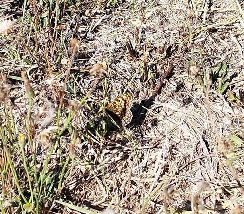
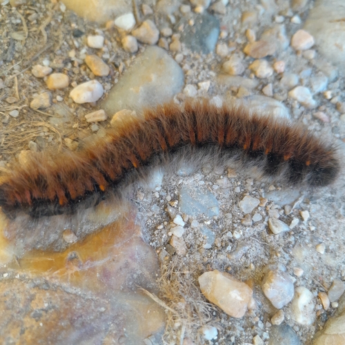
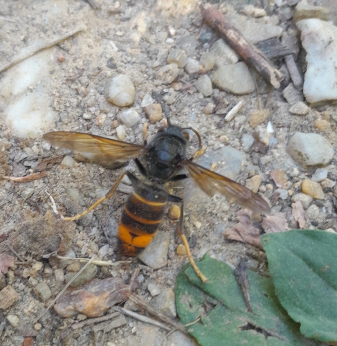
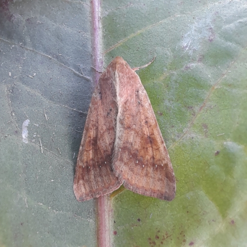
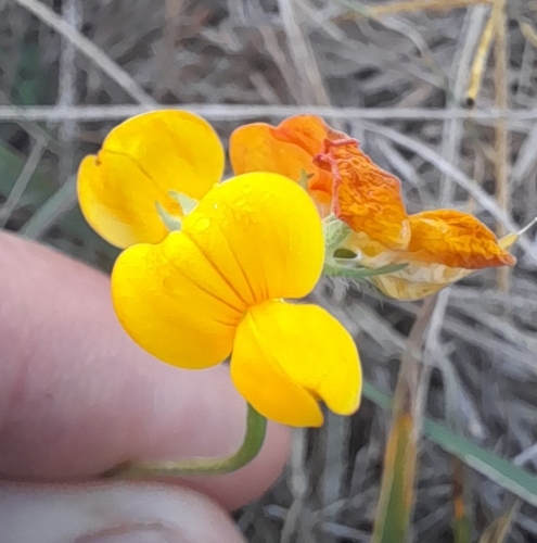
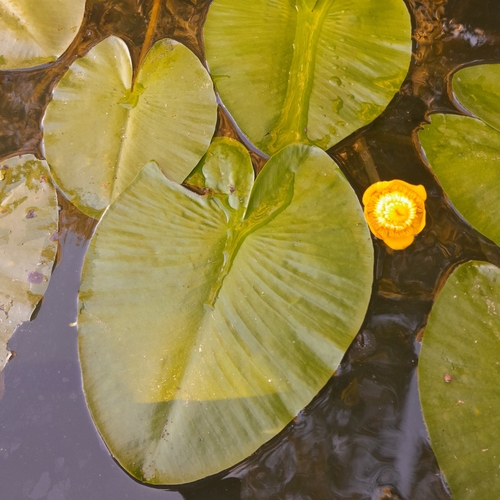
Research-grade observations from iNaturalist (within ~15 mi).
Events
Notable, recurring, and historical events associated with Montauban, sourced from Wikidata.
Source: Wikidata (CC0).
Gallery
Official Identifiers
INSEE — French National Institute of Statistics
- INSEE code
- 82121
- Department
- 82
- Region
- 76
- Population (Wikidata)
- 62,945
geo.api.gouv.fr
Sources
- • Wikipedia
- • Wikidata
- • iNaturalist
- • Open-Meteo / sunrise-sunset.org
- • Wikipedia Pageviews API
- • Wikidata SPARQL (CC0) — population, area, elevation, inception, head of government, Commons image
- • INSEE — French national statistics, via geo.api.gouv.fr (official commune code, population, surface, department, region)
- • INSEE — French National Institute of Statistics — geo.api.gouv.fr