Browse / France / Bourgogne-Franche-Comté / Montbenoît
Montbenoît
Bourgogne-Franche-Comtévillage

Montbenoît
Total population
401
Demographic figures from INSEE. Overview below cites Wikipedia and may reference a different year.
City facts
Facts from Wikidata (CC0).
Overview
Montbenoît is a former commune in the Doubs department in the Bourgogne-Franche-Comté region in eastern France. It was merged into the new commune Pays-de-Montbenoît on 1 January 2025.
Read more on WikipediaHistory & geography
History
In the early 12th century, Landry, Lord of Joux, gave land in the upper Doubs valley to Humbert, Archbishop of Besançon, to found an abbey. The local summit in the area was at the time called Mont Benoît after a hermit named Benoît who lived there. Humbert invited monks to come from Valais and an abbey under St. Columbanus's rule was built by a monk called Nardouin (Norduin) in 1141–1142. The town grew up nearby the abbey. Both the abbey and the town were named Montbenoît after the local summit. The abbey later came under the Augustine rule. In 1947, Montbenoît was proclaimed capital of the Republic of Saugeais by Georges Pourchet, a local hotel owner, who also created the republic on the spot.
Geography
The commune lies north of Pontarlier in the Jura mountains.
Excerpted from the corresponding Wikipedia article (CC BY-SA).
Geography
Coordinates & boundaries from the US Census TIGER/Line shapefiles.
Climate
10-year averages from ERA5 reanalysis (Open-Meteo).
Air quality
Walkability
Amenities nearby
Wildlife & biodiversity
Most-observed species
- Meadow BrownManiola jurtina (Linnaeus, 1758) · Insecta1,566
- Small HeathCoenonympha pamphilus (Linnaeus, 1758) · Insecta1,316
- Small TortoiseshellAglais urticae (Linnaeus, 1758) · Insecta1,277
- Dark Green FritillarySpeyeria aglaja (Linnaeus, 1758) · Insecta729
- Common BluePolyommatus icarus (von Rottemburg, 1775) · Insecta720
- Marbled WhiteMelanargia galathea Linnaeus, 1758 · Insecta709
- Yellow-winged DarterSympetrum flaveolum (Linnaeus, 1758) · Insecta702
- FritillaryFritillaria meleagris L. · Liliopsida687
Citizen-science & research observations from the Global Biodiversity Information Facility (GBIF).
Earthquake history
Most recent
- M 4.4 — 2023-03-221 km NW of Pont-de-Roide, France
- M 4.1 — 2021-12-242 km WSW of Blamont, France
- M 4.1 — 2017-07-017 km E of Châtel-Saint-Denis, Switzerland
- M 4.1 — 2016-12-032 km SE of Damparis, France
- M 2.8 — 2008-10-315 km NE of Boëge, France
- M 2.5 — 2008-09-171 km W of Riedholz, Switzerland
Events from the USGS Earthquake Catalog (global) (FDSN Event Web Service).
Photos
Sights & places nearby
Notable people from here


People born within ~10 km, from Wikidata (CC0). Click any name for their Wikipedia article.
Geography & sun
Elevation, sunrise/sunset and daylight from Open-Meteo. Solar climatology from NASA POWER.
Nearby airports
Public attention
Pageview totals from the Wikimedia Pageviews API.
Books about this place
Recent natural events nearby
Ground air-quality sensors
Recently spotted species
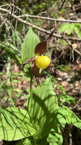
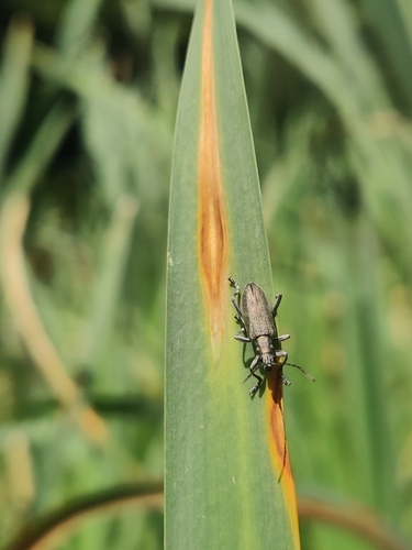
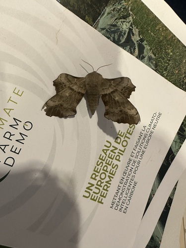
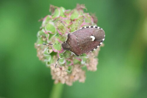
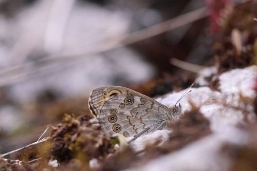
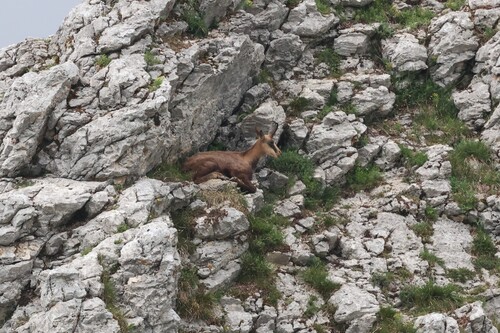
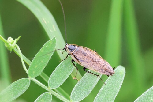
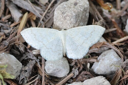
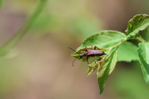
Research-grade observations from iNaturalist (within ~15 mi).
Events
Gallery
Geotagged photos within ~6 miles of Montbenoît, from Wikimedia Commons contributors.


.JPG)
.JPG)
.JPG)
.JPG)
.JPG)
.JPG)
.JPG)


Photos via Wikimedia Commons — see each image page for license & attribution.
Official Identifiers
INSEE — French National Institute of Statistics
- INSEE code
- 25390
- Population (Wikidata)
- 1,923
- Wikidata
- Q838053
geo.api.gouv.fr
Sources
- • Wikipedia
- • Open-Meteo (ERA5 reanalysis)
- • Wikimedia Commons
- • Wikidata
- • USGS Earthquake Catalog (global feed)
- • GBIF (Global Biodiversity Information Facility)
- • iNaturalist
- • Open-Meteo / sunrise-sunset.org
- • Wikipedia Pageviews API
- • INSEE — French national statistics, via geo.api.gouv.fr (official commune code, population, surface, department, region)
- • INSEE — French National Institute of Statistics — geo.api.gouv.fr