Browse / France / Île-de-France / Montrouge
Montrouge
Île-de-Francetown

Montrouge
Total population
47,657
Demographic figures from INSEE. Overview below cites Wikipedia and may reference a different year.
City facts
Facts from Wikidata (CC0).
Overview
Montrouge is a suburban commune just south of Paris, France. It is in Hauts-de-Seine on the border with Val-de-Marne, 4.4 km (2.7 mi) from the centre of Paris. It is one of the most densely populated municipalities in Europe; after a long period of decline, the population has increased again in recent years. It is a relatively wealthy commune.
Read more on WikipediaHistory & geography
History
The name "Montrouge" means Red Mountain from mont (mountain) and rouge (red) because of the reddish colour of the earth in this area. The name of the community was first mentioned in monastery documents in 1194. Throughout the Middle Ages, the hamlet was home to monasteries and a number of religious orders, while in the 15th century it became the site of quarries used for the reconstruction of Paris. The late sixteenth century saw the plain of Montrouge named "reserve for royal hunts", and during the seventeenth and eighteenth centuries it was known for its windmills, which have all now disappeared. On 1 January 1860, the city of Paris was enlarged by annexing neighbouring communes. On that occasion, most of the commune of Montrouge was annexed to Paris, forming what is now called Petit-Montrouge, in the 14th arrondissement of Paris. The remainder of Montrouge was preserved as an independent town. In 1875, the town gained a few thousand square metres from the neighbouring communes of Châtillon and Bagneux (principally in the neighbourhood (le quartier) called Haut Mesnil). The Hôtel de Ville was completed in 1883. On 8 January 2015, Municipal Police officer Clarissa Jean-Philippe was shot and killed in the commune, purportedly by Amedy Coulibaly. Coulibaly was reported to be an accomplice of Saïd and Chérif Kouachi, the suspected perpetrators of the Charlie Hebdo shooting. The next day, he was gunned down by police during a siege that left four hostages dead and several other people injured.
Excerpted from the corresponding Wikipedia article (CC BY-SA).
Geography
Coordinates & boundaries from the US Census TIGER/Line shapefiles.
Climate
Air quality
Walkability
Amenities nearby
Wildlife & biodiversity
Earthquake history
Photos
Sights & places nearby
Notable people from here
Geography & sun
Nearby airports
Public attention
Books about this place
Recent natural events nearby
Ground air-quality sensors
Recently spotted species
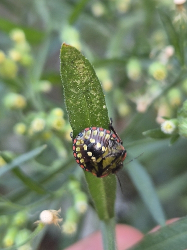
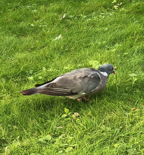
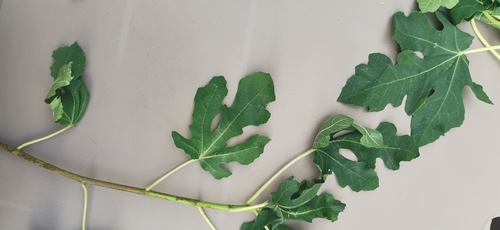
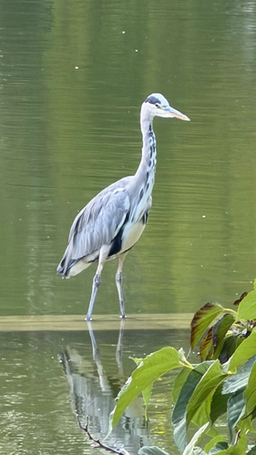
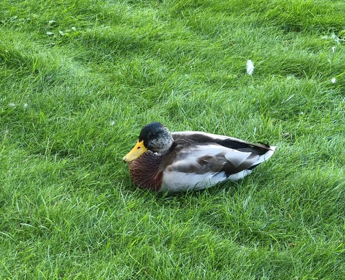
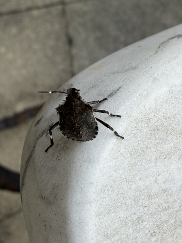
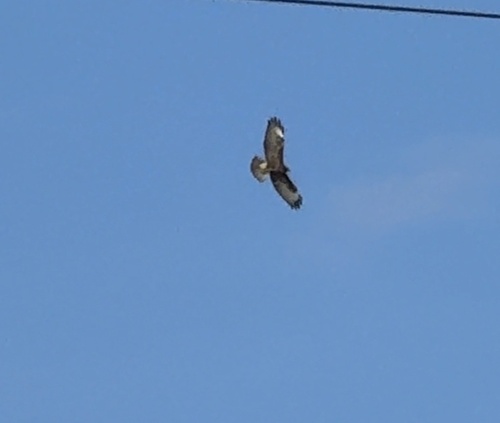
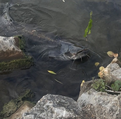
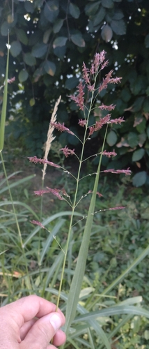
Research-grade observations from iNaturalist (within ~15 mi).
Events
Gallery
Official Identifiers
INSEE — French National Institute of Statistics
- INSEE code
- 92049
- Department
- 92
- Region
- 11
- Population (Wikidata)
- 46,324
geo.api.gouv.fr
Sources
- • Wikipedia
- • Wikidata
- • iNaturalist
- • Wikidata SPARQL (CC0) — population, area, elevation, inception, head of government, Commons image
- • INSEE — French national statistics, via geo.api.gouv.fr (official commune code, population, surface, department, region)
- • INSEE — French National Institute of Statistics — geo.api.gouv.fr