Browse / France / Auvergne-Rhône-Alpes / Moûtiers
Moûtiers
Auvergne-Rhône-Alpesvillage

Moûtiers
Total population
3,475
Air quality index
Demographic figures from INSEE. Overview below cites Wikipedia and may reference a different year.
City facts
Sister cities
Facts from Wikidata (CC0).
Overview
Moûtiers, historically also called Tarentaise, is a commune in the Savoie department in the Auvergne-Rhône-Alpes region in Southeastern France.
Read more on WikipediaHistory & geography
History
Moûtiers was the capital of the Ceutrones, a Celtic tribe of Gaul. Its antique name, Darantasia, appears on a surviving ancient Roman road map known as the Tabula Peutingeriana. In a medieval text dating from 996, Moûtiers was called Monasterium (root of the word "monastery") from which its later names, Moustiers and finally Moûtiers, were derived. Moûtiers was the episcopal see of the Roman Catholic Archdiocese of Tarentaise. The archdiocese was disbanded in 1801; it was re-established as the Diocese of Tarentaise. This diocese was united with the Diocese of Chambéry and Diocese of St-Jean-de-Maurienne to form the Diocese of Chambéry, Maurienne and Tarentaise. On 16 October 1793, in the course of the French Revolution, Moûtiers was renamed Mont-Salins following an order by Antoine Louis Albitte. On 3 January 1796, the name Moûtiers was restored. In 1814, the town was invaded by Sardinians. In 1893, Moûtiers-Salins-Brides-les-Bains station was opened on the line to Bourg-en-Bresse station (reached in 1913). Until 10 September 1926, Moûtiers was a subprefecture of Savoie, when its arrondissement was merged with the arrondissement of Albertville, retaining the former name. The town hall moved to the former subprefecture site shortly thereafter. Today, the town has a small historic centre with narrow streets surrounding Saint-Pierre Cathedral. It hosted the television display for the 1992 Winter Olympics in Albertville.
Geography
Moûtiers is located deep in the Tarentaise Valley. It is its geographic capital, between Albertville and Bourg-Saint-Maurice. Several popular French ski resorts are located in its vicinity. The Isère flows through the town. Moûtiers has an oceanic climate (Köppen climate classification Cfb) closely bordering on a humid subtropical climate (Cfa). The average annual temperature in Moûtiers is . The average annual rainfall is with December as the wettest month. The temperatures are highest on average in July, at around , and lowest in January, at around . The highest temperature ever recorded in Moûtiers was on 7 July 2015; the coldest temperature ever recorded was on 15 January 1966.
Excerpted from the corresponding Wikipedia article (CC BY-SA).
Geography
Coordinates & boundaries from the US Census TIGER/Line shapefiles.
Climate
Air quality
Current readings from Open-Meteo Air Quality API (Copernicus CAMS European reanalysis).
Walkability
Amenities nearby
Wildlife & biodiversity
Most-observed species
- Yellow GentianGentiana lutea L. · Magnoliopsida754
- Common ChaffinchFringilla coelebs Linnaeus, 1758 · Aves535
- Great TitParus major Linnaeus, 1758 · Aves515
- Eurasian BlackbirdTurdus merula Linnaeus, 1758 · Aves495
- Black RedstartPhoenicurus ochruros (S.G.Gmelin, 1774) · Aves378
- Coal TitPeriparus ater (Linnaeus, 1758) · Aves370
- House SparrowPasser domesticus (Linnaeus, 1758) · Aves356
- Stinking HelleboreHelleborus foetidus L. · Magnoliopsida354
Citizen-science & research observations from the Global Biodiversity Information Facility (GBIF).
Earthquake history
Most recent
- M 3.6 — 2026-01-124 km SSW of Les Houches, France
- M 3.3 — 2025-05-068 km W of Chapareillan, France
- M 3.2 — 2024-05-099 km SW of Evolène, Switzerland
- M 3.3 — 2022-09-257 km ESE of Ar?ches-la-Frasse, France
- M 4.5 — 2022-03-123 km S of Faverges, France
- M 4.1 — 2021-10-0510 km SSW of Evolène, Switzerland
Events from the USGS Earthquake Catalog (global) (FDSN Event Web Service).
Photos
Sights & places nearby
Notable people from here


People born within ~10 km, from Wikidata (CC0). Click any name for their Wikipedia article.
Nearby places in Auvergne-Rhône-Alpes
- Aime7.6 mi away · pop. 4,421
- Gilly-sur-Isère15 mi away · pop. 3,076
- Ugine19.1 mi away · pop. 7,148
- Saint-Pierre-d'Albigny19.3 mi away · pop. 4,170
- Modane20.7 mi away · pop. 2,944
- Montmélian23 mi away · pop. 4,058
- Saint-Pierre-d'Allevard24.9 mi away · pop. 3,389
- La Ravoire28 mi away · pop. 9,042
- Thônes29.2 mi away
- Saint-Jorioz30 mi away · pop. 6,287
- Clavans-le-Haut33.1 mi away · pop. 89
- Tresserve33.5 mi away · pop. 2,945
Geography & sun
Elevation, sunrise/sunset and daylight from Open-Meteo. Solar climatology from NASA POWER.
Nearby airports
Public attention
Pageview totals from the Wikimedia Pageviews API.
Books about this place
Recent natural events nearby
Ground air-quality sensors
Recently spotted species
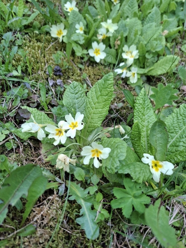
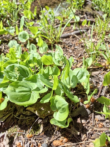
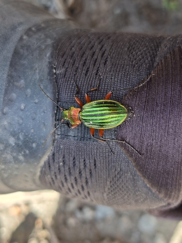
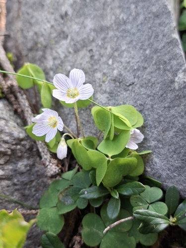
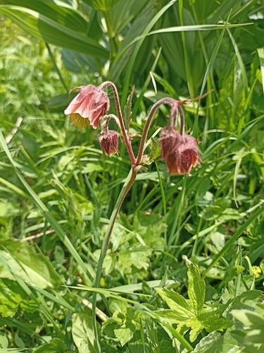
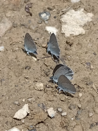
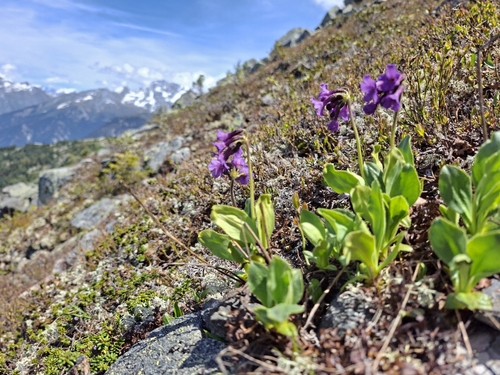
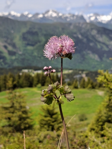
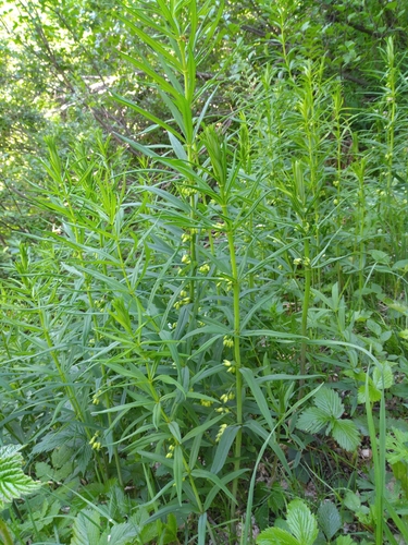
Research-grade observations from iNaturalist (within ~15 mi).
Events
Gallery
Geotagged photos within ~6 miles of Moûtiers, from Wikimedia Commons contributors.
.JPG) 0 mi
0 mi.JPG) 0.1 mi
0.1 mi.JPG) 0.1 mi
0.1 mi 0.1 mi
.JPG) 0.1 mi
0.1 mi.JPG) 0.1 mi
0.1 mi.JPG) 0.1 mi
0.1 mi.JPG) 0.1 mi
0.1 mi.JPG) 0.1 mi
0.1 mi.JPG) 0.1 mi
0.1 mi.JPG) 0.1 mi
0.1 mi.JPG) 0.1 mi
0.1 mi_1.JPG) 0.1 mi
0.1 mi_2.JPG) 0.1 mi
0.1 mi.JPG) 0.1 mi
0.1 mi 0.2 mi
 0.2 mi
.JPG) 0.2 mi
0.2 mi.JPG) 0.2 mi
0.2 mi 0.2 mi
.JPG) 0.2 mi
0.2 mi.JPG) 0.2 mi
0.2 mi.JPG) 0.2 mi
0.2 mi.JPG) 0.2 mi
0.2 miPhotos via Wikimedia Commons — see each image page for license & attribution.
Official Identifiers
INSEE — French National Institute of Statistics
- INSEE code
- 73181
- Department
- 73
- Region
- 84
- Population (Wikidata)
- 3,487
geo.api.gouv.fr
Sources
- • Wikipedia
- • Wikimedia Commons
- • Wikidata
- • Open-Meteo Air Quality (CAMS)
- • USGS Earthquake Catalog (global feed)
- • GBIF (Global Biodiversity Information Facility)
- • iNaturalist
- • Open-Meteo / sunrise-sunset.org
- • Wikipedia Pageviews API
- • INSEE — French national statistics, via geo.api.gouv.fr (official commune code, population, surface, department, region)
- • INSEE — French National Institute of Statistics — geo.api.gouv.fr