Browse / France / Auvergne-Rhône-Alpes / Mouxy
Mouxy
Auvergne-Rhône-Alpesvillage

Mouxy
Total population
2,270
Demographic figures from INSEE. Overview below cites Wikipedia and may reference a different year.
City facts
Facts from Wikidata (CC0).
Overview
Mouxy is a commune in the Savoie department in the Auvergne-Rhône-Alpes region in south-eastern France.
Read more on WikipediaHistory & geography
History
The evolution of the commune is marked by the history of Aix-les-Bains, and in particular the importance of Lake Bourget and the hot springs of the city of Aix that always made Aix-les-Bains a showplace of therapeutic mineral bathing. One can also say, more generally, that the history of Mouxy is closely linked to that of the Department of Savoie. The site was inhabited since the Neolithic Era. Indeed, some sedentary farming communities settled in the Plains and the great valleys of average altitude. The first real phase of occupation by people was observed from deposits at organic geological levels preserved at Saint-Pierre-de-Curtille (Lake Bourget). The area was then occupied by the people of the Allobroges. The [area of the Allobroges was occupied by the Roman legions following their victory in 121 B.C.E. By 443, the Roman General Aëtius had ceded Sapaudia the Latin name of present-day Savoy to a Germanic people, the Burgundians. Mouxy was a parish - Mauseu ecclesia - which depended on the Priory of Clarafont according to an act of 1344. During this period, a new church dedicated to Saint-John-the-Greater was built. Previously, the Mouxy area depended on either the Priory of Saint-Pol or Saint-Hippolyte in Aix. The parish was subsequently attached to the Priory of Aix in the 16th century. We learn that the priest of the Church, in 1340, offered to the Bishop during his pastoral visit a stipend of 9 florins. In 1494, the income of the parish priest was estimated to be 50 guilders. The Church did not originally have an image of its patron saint, or other object of worship. By 1678 it had relics of Saint James, Saint Alexis and the true cross. The village of Mouxy had about 30 households in 1494 and 1497. In the following century, proceeds to 42 households and…
Geography
Dominated by Mount Revard, the Town of Mouxy is located on the heights above Aix-les-Bains, to which it is adjacent. It is part of the urban area of Chambéry, and of the agglomeration community of Grand Lac. and 12.5 km [7¾ miles], respectively. The town is in area; the elevations range from . The lowest point lies at the edge of Aix-les-Bains to the south of the town, the high point is the top of Mount Revard. Downtown is located at an elevation of about . the municipality overlooks Lake Bourget, the largest natural lake in France, and offers a view of the surrounding peaks including the croix du Nivolet, the Chartreuse Massif, Mount Granier and the Cat's Tooth. It extends from the Aix-les-Bains plain to the Massif of Bauges. The population density decreases as you approach Mount Revard. Indeed, some places are absolutely vertical, without access, and unbuildable.
Excerpted from the corresponding Wikipedia article (CC BY-SA).
Geography
Coordinates & boundaries from the US Census TIGER/Line shapefiles.
Climate
Air quality
Walkability
Amenities nearby
Wildlife & biodiversity
Most-observed species
- Eurasian BlackbirdTurdus merula Linnaeus, 1758 · Aves3,231
- Great TitParus major Linnaeus, 1758 · Aves2,864
- Eurasian Blue TitCyanistes caeruleus (Linnaeus, 1758) · Aves2,730
- Common ChaffinchFringilla coelebs Linnaeus, 1758 · Aves2,698
- House SparrowPasser domesticus (Linnaeus, 1758) · Aves2,597
- European RobinErithacus rubecula (Linnaeus, 1758) · Aves2,337
- Carrion CrowCorvus corone Linnaeus, 1758 · Aves2,310
- Common Wood-PigeonColumba palumbus Linnaeus, 1758 · Aves1,801
Citizen-science & research observations from the Global Biodiversity Information Facility (GBIF).
Earthquake history
Most recent
- M 3.6 — 2026-01-124 km SSW of Les Houches, France
- M 3.3 — 2025-05-068 km W of Chapareillan, France
- M 3.3 — 2022-09-257 km ESE of Ar?ches-la-Frasse, France
- M 4.5 — 2022-03-123 km S of Faverges, France
- M 3.4 — 2020-06-2311 km ESE of Samoëns, France
- M 3.2 — 2017-11-1710 km NNE of Saint-Rémy-de-Maurienne, France
Events from the USGS Earthquake Catalog (global) (FDSN Event Web Service).
Photos
Sights & places nearby
Notable people from here


People born within ~10 km, from Wikidata (CC0). Click any name for their Wikipedia article.
Geography & sun
Elevation, sunrise/sunset and daylight from Open-Meteo. Solar climatology from NASA POWER.
Nearby airports
Public attention
Pageview totals from the Wikimedia Pageviews API.
Books about this place
Recent natural events nearby
Ground air-quality sensors
Recently spotted species
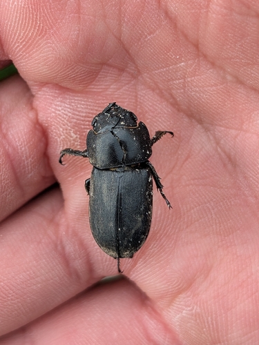
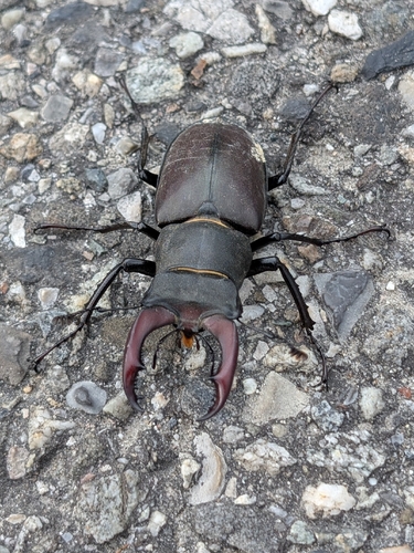

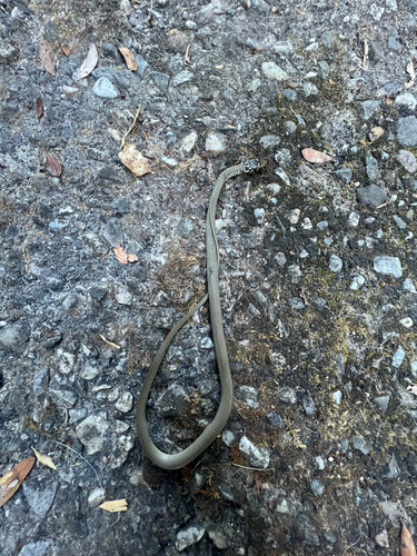
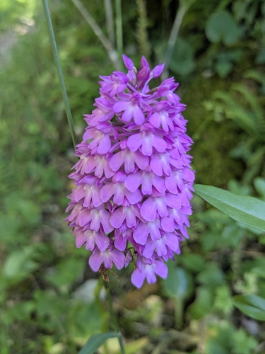
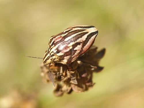
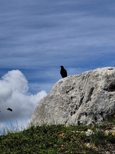
Research-grade observations from iNaturalist (within ~15 mi).
Events
Gallery
Geotagged photos within ~6 miles of Mouxy, from Wikimedia Commons contributors.
.JPG) 0 mi
0 mi.JPG) 0.1 mi
0.1 mi.JPG) 0.1 mi
0.1 mi.JPG) 0.1 mi
0.1 mi.JPG) 0.2 mi
0.2 mi 0.3 mi
_et_panonceau_M9z_(verglas)_pliables..jpg) 0.7 mi
0.7 mi.JPG) 0.8 mi
0.8 mi 0.8 mi
 0.8 mi
.JPG) 0.8 mi
0.8 mi.JPG) 0.8 mi
0.8 mi 0.8 mi
 0.8 mi
.jpg) 0.8 mi
0.8 mi 0.8 mi
.JPG) 0.8 mi
0.8 mi.JPG) 0.8 mi
0.8 mi.JPG) 0.8 mi
0.8 mi 0.8 mi
.JPG) 0.9 mi
0.9 mi.JPG) 0.9 mi
0.9 mi.JPG) 0.9 mi
0.9 mi.JPG) 0.9 mi
0.9 miPhotos via Wikimedia Commons — see each image page for license & attribution.
Official Identifiers
INSEE — French National Institute of Statistics
- INSEE code
- 73182
- Department
- 73
- Region
- 84
- Population (Wikidata)
- 2,311
geo.api.gouv.fr
Sources
- • Wikipedia
- • Wikimedia Commons
- • Wikidata
- • USGS Earthquake Catalog (global feed)
- • GBIF (Global Biodiversity Information Facility)
- • iNaturalist
- • Open-Meteo / sunrise-sunset.org
- • Wikipedia Pageviews API
- • INSEE — French national statistics, via geo.api.gouv.fr (official commune code, population, surface, department, region)
- • INSEE — French National Institute of Statistics — geo.api.gouv.fr