Browse / France / Grand Est / Mulhouse
Mulhouse
Grand Estcity

Mulhouse
Total population
106,341
Demographic figures from INSEE. Overview below cites Wikipedia and may reference a different year.
City facts
Facts from Wikidata (CC0).
Overview
Mulhouse is a French city of the European Collectivity of Alsace. It is near the border with Switzerland and Germany. It is the largest city in Haut-Rhin and second largest in Alsace after Strasbourg.
Read more on WikipediaHistory & geography
History
In 58 BC a battle took place west of Mulhouse and opposed the Roman army of Julius Caesar by a coalition of Germanic people led by Ariovistus. The first written records of the town date from the twelfth century. It was part of the southern Alsatian county of Sundgau in the Holy Roman Empire. From 1354 to 1515, Mulhouse was part of the Zehnstädtebund, an association of ten Free Imperial Cities in Alsace. The city joined the Swiss Confederation as an associate in 1515 and was therefore not annexed by France in the Peace of Westphalia in 1648 like the rest of the Sundgau. An enclave in Alsace, it was a free and independent Calvinist republic, known as Stadtrepublik Mülhausen, associated with the Swiss Confederation until, after a vote by its citizens on 4 January 1798, it became a part of France in the Treaty of Mulhouse signed on 28 January 1798, during the Directory period of the French Revolution. The first textile printing works in Mulhouse were established in 1746 by Samuel Koechlin, Jean-Jacques Schmaltzer, Jean-Henri Dolfus and Jean-Jacques Feer. The textile printing works in the city industrialized in the 19th century and the Alsace region became a global leader in the manufacturing and marketing of printed fabric. Art and craft printed textiles were sold alongside textiles that had been finished in a complex industrial printing process. André Koechlin (1789–1875) built machinery and started making railroad equipment in 1842. The firm in 1839 already employed 1,800 people. It was one of the six large French locomotive constructors until the merger with Elsässische Maschinenbau-Gesellschaft Grafenstaden in 1872, when the company became Société Alsacienne de Constructions Mécaniques. After the Prussian victory in the Franco-Prussian War (1870–1871), Mulhouse was…
Geography
Two rivers run through Mulhouse, the Doller and the Ill, both tributaries of the Rhine. Mulhouse is approximately from Strasbourg and Zürich; it is from Milan and about from Frankfurt. It is close to Basel, Switzerland and Freiburg, Germany. It shares the EuroAirport international airport with these two cities. Medieval Mulhouse consists essentially of a lower and an upper town. *The lower town was formerly the inner city district of merchants and craftsmen. It developed around the Place de la Réunion (which commemorates its reunion with France). Nowadays this area is pedestrianised. *The upper town developed from the eighteenth century on. Previously, several monastic orders were established there, notably the Franciscans, Augustinians, Poor Clares and Knights of Malta. *The Nouveau Quartier (New District) is the best example of urban planning in Mulhouse, and was developed from 1826 on, after the town walls had been torn down (as they were in many towns in France). It is focused around the Place de la République. Its network of streets and its triangular shape are a good demonstration of the town's desire for a planned layout. The planning was undertaken by the architects G. Stolz and Félix Fries. This inner city district was occupied by rich families and the owners of local industries, who tended to be liberal and republican in their opinions. *The Rebberg district consists of grand houses inspired by the colonnaded residences of Louisiana cotton planters. Originally, this was the town's vineyard (the word Rebe meaning vine in German). The houses here were built as terraces in the English style, a result of the town's close relationship with Manchester, where the sons of industrialists were often sent to study. Mulhouse's climate is temperate oceanic (Köppen:…
Excerpted from the corresponding Wikipedia article (CC BY-SA).
Geography
Coordinates & boundaries from the US Census TIGER/Line shapefiles.
Climate
Air quality
Walkability
Amenities nearby
Wildlife & biodiversity
Most-observed species
- Great TitParus major Linnaeus, 1758 · Aves4,905
- Eurasian BlackbirdTurdus merula Linnaeus, 1758 · Aves4,577
- Eurasian Blue TitCyanistes caeruleus (Linnaeus, 1758) · Aves4,234
- Common ChaffinchFringilla coelebs Linnaeus, 1758 · Aves4,143
- European RobinErithacus rubecula (Linnaeus, 1758) · Aves3,501
- Carrion CrowCorvus corone Linnaeus, 1758 · Aves3,340
- House SparrowPasser domesticus (Linnaeus, 1758) · Aves2,921
- Great Spotted WoodpeckerDendrocopos major (Linnaeus, 1758) · Aves2,676
Citizen-science & research observations from the Global Biodiversity Information Facility (GBIF).
Earthquake history
Most recent
- M 3.5 — 2024-06-271 km SSW of Todtmoos, Germany
- M 4.4 — 2023-03-221 km NW of Pont-de-Roide, France
- M 3.9 — 2022-09-101 km WSW of Zimmersheim, France
- M 4.1 — 2021-12-242 km WSW of Blamont, France
- M 3.1 — 2018-05-042 km W of Schliengen, Germany
- M 3.6 — 2009-05-052 km NNW of Steinen, Germany
Events from the USGS Earthquake Catalog (global) (FDSN Event Web Service).
Photos
Sights & places nearby
Notable people from here


People born within ~10 km, from Wikidata (CC0). Click any name for their Wikipedia article.
Nearby places in Grand Est
- Eschentzwiller3.6 mi away · pop. 1,493
- Zillisheim4.1 mi away · pop. 2,514
- Heimsbrunn5.4 mi away · pop. 1,336
- Schlierbach5.4 mi away · pop. 1,281
- Ruelisheim5.5 mi away · pop. 2,453
- Rantzwiller6.9 mi away · pop. 800
- Tagolsheim7 mi away · pop. 976
- Obermorschwiller7.2 mi away · pop. 406
- Hombourg7.8 mi away · pop. 1,351
- Walheim7.9 mi away · pop. 885
- Magstatt-le-Haut8.4 mi away · pop. 299
- Tagsdorf8.8 mi away · pop. 304
Geography & sun
Elevation, sunrise/sunset and daylight from Open-Meteo. Solar climatology from NASA POWER.
Nearby airports
Public attention
Pageview totals from the Wikimedia Pageviews API.
Books about Mulhouse

Search results from Open Library.
Recent natural events nearby
Ground air-quality sensors
Recently spotted species
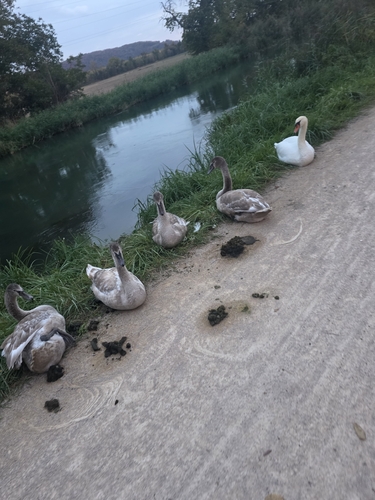
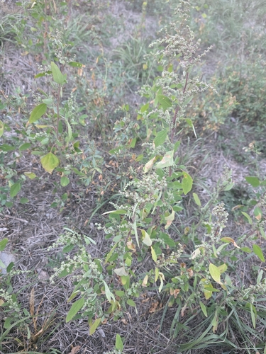
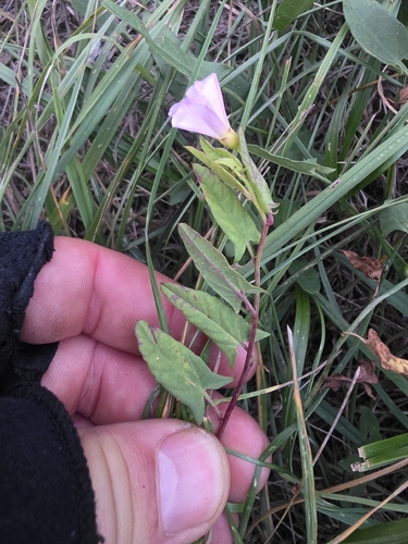
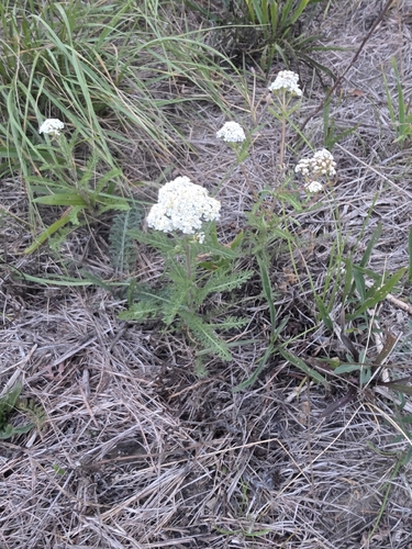
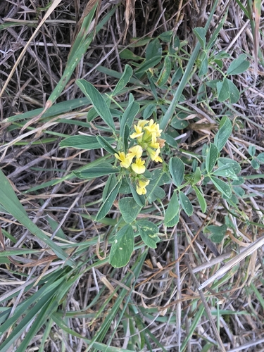
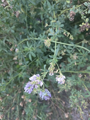
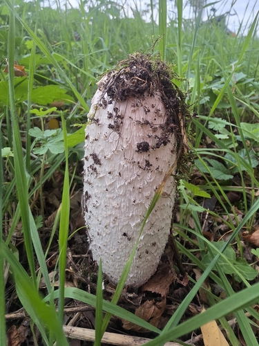
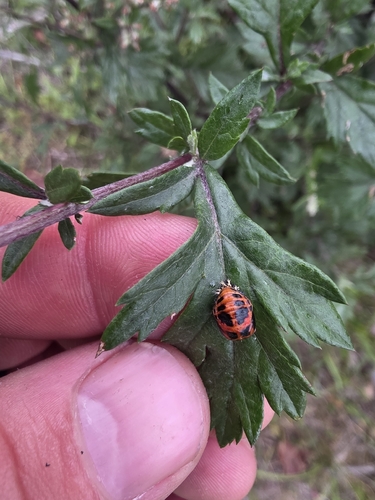
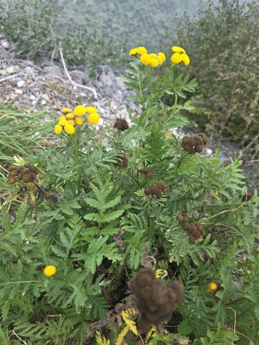
Research-grade observations from iNaturalist (within ~15 mi).
Events
Notable, recurring, and historical events associated with Mulhouse, sourced from Wikidata.
- Tribute to Paul Varry in MulhouseOct 19, 2024demonstration
minute of silence by Mulhouse cyclists on 19 October 2024 in tribute to Paul Varry
- Q67197712Jun 1, 1935recurring event edition
Source: Wikidata (CC0).
Gallery
Geotagged photos within ~6 miles of Mulhouse, from Wikimedia Commons contributors.


Photos via Wikimedia Commons — see each image page for license & attribution.
Official Identifiers
INSEE — French National Institute of Statistics
- INSEE code
- 68224
- Department
- 68
- Region
- 44
- Population (Wikidata)
- 104,978
geo.api.gouv.fr
Sources
- • Wikipedia
- • Wikimedia Commons
- • Wikidata
- • USGS Earthquake Catalog (global feed)
- • GBIF (Global Biodiversity Information Facility)
- • iNaturalist
- • Open-Meteo / sunrise-sunset.org
- • Wikipedia Pageviews API
- • Open Library
- • Wikidata SPARQL (CC0) — population, area, elevation, inception, head of government, Commons image
- • INSEE — French national statistics, via geo.api.gouv.fr (official commune code, population, surface, department, region)
- • INSEE — French National Institute of Statistics — geo.api.gouv.fr