Browse / France / Auvergne-Rhône-Alpes / Nangy
Nangy
Auvergne-Rhône-Alpesvillage
Total population
1,645
Demographic figures from INSEE. Overview below cites Wikipedia and may reference a different year.
City facts
Overview
As a village in Auvergne-Rhône-Alpes, France, Nangy occupies its own corner of the country. Public datasets list a population of roughly 1,645. Located at 46.154°, 6.306°, Nangy occupies a temperate portion of the northern hemisphere. Open solar datasets indicate about 1,309 kWh/m² of solar irradiance per year, combined with sunshine for roughly 51% of daylight hours. Long-term weather observations show average highs near 60.8°F and lows near 43.8°F with about 48.4 in of annual precipitation (a wet total). Administratively it falls within the 84 province. Based on its temperate position, residents likely encounter four distinct seasons with warm summers and cold winters. Further detail — demographics, climate, nearby amenities and natural-hazard data — is compiled below from public open-data sources.
Summary composed automatically from structured open data on this page. See our Terms for details.
History & geography
Geography
Coordinates & boundaries from the US Census TIGER/Line shapefiles.
Climate
10-year averages from ERA5 reanalysis (Open-Meteo).
Air quality
Walkability
Amenities nearby
Wildlife & biodiversity
Most-observed species
- Yellow-legged hornetVespa velutina Lepeletier, 1836 · Insecta5,176
- House SparrowPasser domesticus (Linnaeus, 1758) · Aves5,004
- red foxVulpes vulpes (Linnaeus, 1758) · Mammalia4,185
- Carrion CrowCorvus corone Linnaeus, 1758 · Aves4,102
- Great TitParus major Linnaeus, 1758 · Aves4,035
- European hareLepus europaeus Pallas, 1778 · Mammalia3,974
- Eurasian BlackbirdTurdus merula Linnaeus, 1758 · Aves3,750
- Eurasian Blue TitCyanistes caeruleus (Linnaeus, 1758) · Aves3,642
Citizen-science & research observations from the Global Biodiversity Information Facility (GBIF).
Earthquake history
Most recent
- M 3.6 — 2026-01-124 km SSW of Les Houches, France
- M 3.3 — 2025-05-068 km W of Chapareillan, France
- M 3.2 — 2024-05-099 km SW of Evolène, Switzerland
- M 3.3 — 2022-09-257 km ESE of Ar?ches-la-Frasse, France
- M 4.5 — 2022-03-123 km S of Faverges, France
- M 4.1 — 2021-10-0510 km SSW of Evolène, Switzerland
Events from the USGS Earthquake Catalog (global) (FDSN Event Web Service).
Photos
Sights & places nearby
Notable people from here


People born within ~10 km, from Wikidata (CC0). Click any name for their Wikipedia article.
Nearby places in Auvergne-Rhône-Alpes
- Fillinges1.8 mi away · pop. 3,537
- Vétraz-Monthoux2.6 mi away · pop. 9,874
- Gaillard5 mi away · pop. 10,175
- Saint-Cergues5.7 mi away · pop. 3,714
- Thorens-Glières11.2 mi away · pop. 9,547
- Marnaz12.5 mi away · pop. 5,827
- Viry13.1 mi away · pop. 5,635
- Taninges14.1 mi away · pop. 3,465
- Allinges14.7 mi away · pop. 4,853
- Divonne-les-Bains16 mi away · pop. 10,137
- Jonzier16.3 mi away · pop. 835
- Epagny16.8 mi away
Geography & sun
Elevation, sunrise/sunset and daylight from Open-Meteo. Solar climatology from NASA POWER.
Nearby airports
Public attention
Pageview totals from the Wikimedia Pageviews API.
Books about this place
Recent natural events nearby
Ground air-quality sensors
Recently spotted species
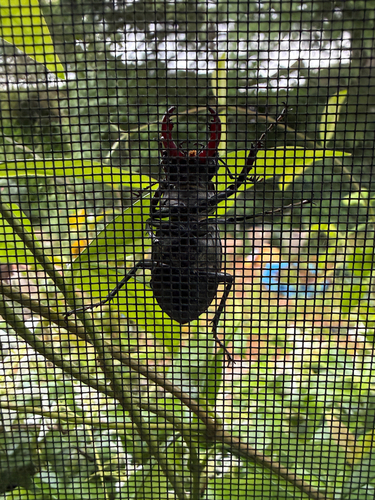
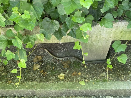
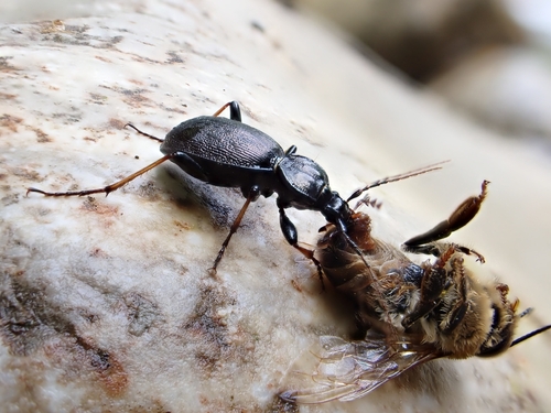
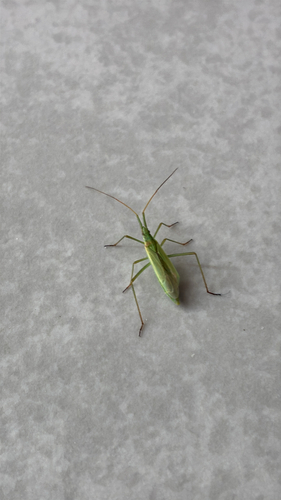
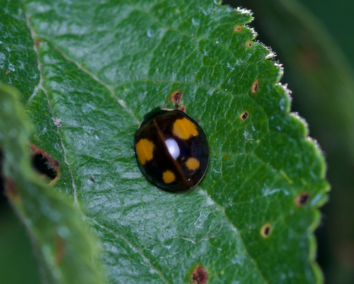
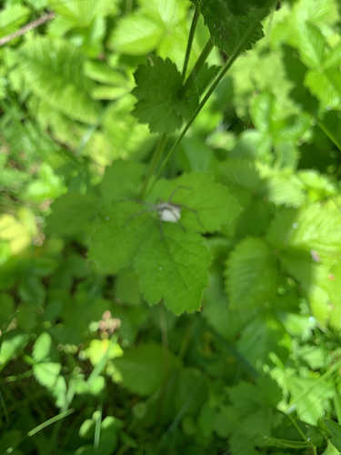


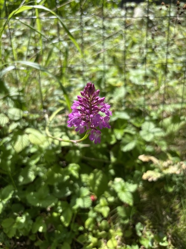
Research-grade observations from iNaturalist (within ~15 mi).
Events
Gallery
Geotagged photos within ~6 miles of Nangy, from Wikimedia Commons contributors.
 0 mi
0 mi 0 mi
0 mi 0 mi
0 mi 0 mi
0 mi 0 mi
0 mi 0.1 mi
 0.1 mi
 0.2 mi
 0.2 mi
 0.2 mi
 0.2 mi
 0.3 mi
 0.3 mi
 0.4 mi
 0.4 mi
 0.4 mi
 0.5 mi
 0.5 mi
 0.5 mi
 0.7 mi
.jpg) 0.7 mi
0.7 mi.jpg) 0.7 mi
0.7 mi 0.7 mi
 0.7 mi
Photos via Wikimedia Commons — see each image page for license & attribution.
Official Identifiers
INSEE — French National Institute of Statistics
- INSEE code
- 74197
- Department
- 74
- Region
- 84
- Population (Wikidata)
- 1,771
geo.api.gouv.fr
Sources
- • Open-Meteo (ERA5 reanalysis)
- • Wikimedia Commons
- • Wikidata
- • USGS Earthquake Catalog (global feed)
- • GBIF (Global Biodiversity Information Facility)
- • iNaturalist
- • Open-Meteo / sunrise-sunset.org
- • Wikipedia Pageviews API
- • INSEE — French national statistics, via geo.api.gouv.fr (official commune code, population, surface, department, region)
- • INSEE — French National Institute of Statistics — geo.api.gouv.fr