Browse / France / Occitanie / Nîmes
Nîmes
Occitaniecity

Nîmes
Total population
148,104
Air quality index
Demographic figures from INSEE. Overview below cites Wikipedia and may reference a different year.
City facts
Sister cities
Facts from Wikidata (CC0).
Overview
Nîmes is the prefecture of the Gard department in the Occitanie region of Southern France. Located between the Mediterranean Sea and the Cévennes mountain range, the estimated population of the commune of Nîmes stood at 148,561 in 2019.
Read more on WikipediaHistory & geography
History
The Neolithic site of Serre Paradis reveals the presence of semi-nomadic cultivators in the period 4000 to 3500 BCE on the site of Nîmes. The menhir of Courbessac (or La Poudrière) stands in a field, near the aerodrome. This limestone monolith of over in height dates to approximately 2500 BCE, and is considered the oldest monument in Nîmes. The Bronze Age has left traces of villages that were made out of huts and branches. The population of the site increased during the Bronze Age. The hill of Mt. Cavalier was the site of the early oppidum, which gave birth to the city. During the 3rd and 2nd centuries BCE, a surrounding wall was built with a dry-stone tower at the summit, which was later incorporated into the Tour Magne. The Greek geographer, Strabo, mentioned that this town functioned as the regional capital for the Volcae Arecomici, a Celtic people. The city adopted the name of a local water deity, Nemausus. The town had a healing spring. The Warrior of Grezan is considered to be the most ancient indigenous sculpture in southern Gaul. In 123 BCE, the Roman general Quintus Fabius Maximus launched a campaign against Gallic tribes in the area, eventually defeating the Allobroges and the Arverni, while the Volcae offered no resistance. The Roman province Gallia Transalpina ("Gaul across the Alps") was established in 121 BCE, and from 118 BCE, the Via Domitia was constructed through the later site of the city. File:Arena de Nimes.jpg|Amphitheater, used today for concerts and bullfights File:2015-Arena-of-Nîmes-Interior.JPG|Amphiteatre Interior File:Nîmes-Temple de Diane-2.jpg|Temple of Diana File:Maison Carree in Nimes (16).jpg|Roman temple, the Maison Carrée File:Nimes, Roman wall foundations.jpg|Roman wall foundations File:Nîmes La porte Auguste.png|The…
Geography
Nîmes is one of the warmest cities in France. The city has a humid subtropical climate (Köppen: Cfa), with summers being too wet for it to be classified as a hot-summer Mediterranean climate (Köppen: Csa). Its slightly inland, southerly location results in hot air over the city during summer months: temperatures above 34 °C are common in July and August, whereas winters are cool but not cold. Nighttime low temperatures below 0 °C are common from December to February, while snowfall occurs every year.
Excerpted from the corresponding Wikipedia article (CC BY-SA).
Geography
Coordinates & boundaries from the US Census TIGER/Line shapefiles.
Climate
10-year averages from ERA5 reanalysis (Open-Meteo).
Air quality
Current readings from Open-Meteo Air Quality API (Copernicus CAMS European reanalysis).
Walkability
Amenities nearby
Wildlife & biodiversity
Most-observed species
- Eurasian MagpiePica pica (Linnaeus, 1758) · Aves6,124
- European StarlingSturnus vulgaris Linnaeus, 1758 · Aves4,794
- Common Wood-PigeonColumba palumbus Linnaeus, 1758 · Aves4,704
- Common ChaffinchFringilla coelebs Linnaeus, 1758 · Aves4,443
- Great TitParus major Linnaeus, 1758 · Aves4,293
- European GoldfinchCarduelis carduelis (Linnaeus, 1758) · Aves4,289
- House SparrowPasser domesticus (Linnaeus, 1758) · Aves4,179
- Eurasian BlackcapSylvia atricapilla (Linnaeus, 1758) · Aves4,093
Citizen-science & research observations from the Global Biodiversity Information Facility (GBIF).
Earthquake history
Most recent
- M 4.8 — 2019-11-115 km WNW of Rochemaure, France
- M 4.3 — 2011-08-034 km ESE of Barjac, France
- M 2.5 — 2008-12-234 km ENE of Éguilles, France
- M 2.8 — 2008-11-252 km N of Malataverne, France
- M 2.5 — 2008-01-224 km NW of Cruas, France
- M 2.6 — 2007-08-031 km NE of Jonquières-Saint-Vincent, France
Events from the USGS Earthquake Catalog (global) (FDSN Event Web Service).
Photos
Sights & places nearby
Notable people from here


People born within ~10 km, from Wikidata (CC0). Click any name for their Wikipedia article.
Nearby places in Occitanie
- Caveirac4.9 mi away · pop. 4,351
- Saint-Gervasy6.1 mi away · pop. 1,994
- Boissières7.6 mi away · pop. 590
- La Calmette7.9 mi away · pop. 2,516
- Bellegarde9.5 mi away · pop. 7,740
- Collias10 mi away · pop. 1,064
- Codognan10.2 mi away · pop. 2,458
- Mus10.3 mi away · pop. 1,542
- Montignargues10.3 mi away · pop. 563
- Aubussargues11.9 mi away · pop. 318
- Combas12.4 mi away · pop. 720
- Remoulins12.5 mi away · pop. 2,260
Geography & sun
Elevation, sunrise/sunset and daylight from Open-Meteo. Solar climatology from NASA POWER.
Nearby airports
Public attention
Pageview totals from the Wikimedia Pageviews API.
Books about Nîmes
Search results from Open Library.
Recent natural events nearby
Ground air-quality sensors
Recently spotted species

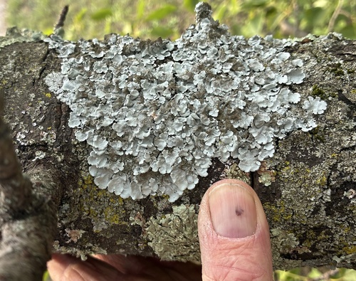
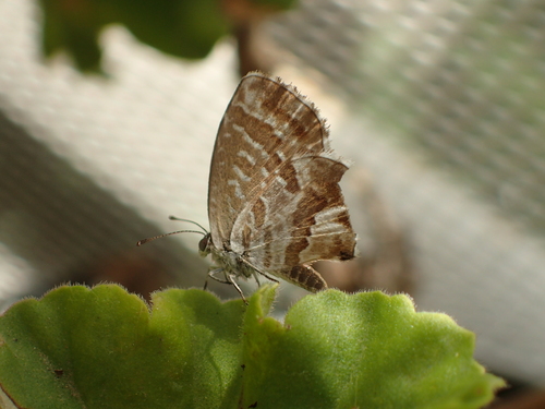
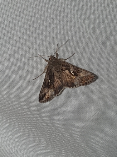
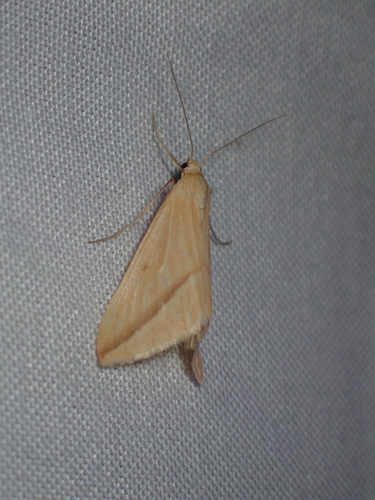
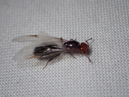
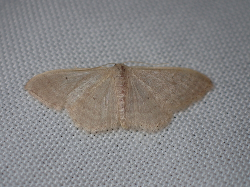
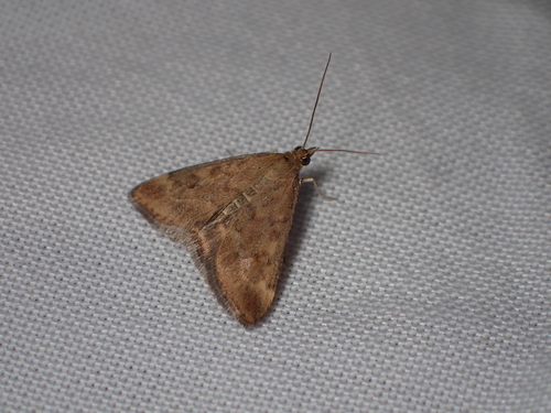
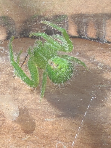
Research-grade observations from iNaturalist (within ~15 mi).
Events
Notable, recurring, and historical events associated with Nîmes, sourced from Wikidata.
- Nîmes s'illustrefestival
Source: Wikidata (CC0).
Gallery
Geotagged photos within ~6 miles of Nîmes, from Wikimedia Commons contributors.


Photos via Wikimedia Commons — see each image page for license & attribution.
Official Identifiers
INSEE — French National Institute of Statistics
- INSEE code
- 30189
- Department
- 30
- Region
- 76
- Population (Wikidata)
- 151,839
geo.api.gouv.fr
Sources
- • Wikipedia
- • Open-Meteo (ERA5 reanalysis)
- • Wikimedia Commons
- • Wikidata
- • Open-Meteo Air Quality (CAMS)
- • USGS Earthquake Catalog (global feed)
- • GBIF (Global Biodiversity Information Facility)
- • iNaturalist
- • Open-Meteo / sunrise-sunset.org
- • Wikipedia Pageviews API
- • Open Library
- • Wikidata SPARQL (CC0) — population, area, elevation, inception, head of government, Commons image
- • INSEE — French national statistics, via geo.api.gouv.fr (official commune code, population, surface, department, region)
- • INSEE — French National Institute of Statistics — geo.api.gouv.fr