Browse / France / Grand Est / Obernai
Obernai
Grand Esttown

Obernai
Total population
12,216
Demographic figures from INSEE. Overview below cites Wikipedia and may reference a different year.
City facts
Overview
Obernai is a commune in the Bas-Rhin department in Alsace in north-eastern France. It lies on the eastern slopes of the Vosges mountains.
Read more on WikipediaHistory & geography
History
A Neolithic necropole has been uncovered dating between 5,000 and 4,600 BC; 27 individuals were buried there in wooden coffins. This appears to be a continuation of groups from the Linear Pottery culture who were located also on the eastern side of the Rhine. The Obernai region, which was the property of the dukes of Alsace in the 7th century, is the birthplace of St. Odile, daughter of the Duke, who would become the Patron Saint of Alsace. The Obernai name first appears in 1240, when the village acquires the status of town under the tutelage of the Hohenstaufen family. The town then prospered. It became a member of the Décapole in 1354, an alliance of ten towns of the Holy Roman Empire in Alsace. Obernai's status reaches its apex in the 15th and 16th century. In 1562, Emperor Ferdinand I visited the prosperous town of Obernai. The Thirty Years' War (1618–1648) damaged the town, which was occupied by the Imperial troops, then by the Swedes. The town was ransomed and ceded to France in 1679, and started to recover some of its prosperity, without totally recapturing its former glory. The town was annexed by Germany in 1871 with the rest of Alsace, then returned to France after World War I in 1918. During the German occupation in the Second World War, the Nazi authorities set up the Reichsschule für SS Helferinnen Oberenheim, a Waffen-SS women's training centre, which opened in May 1942 upon the order of Heinrich Himmler.
Excerpted from the corresponding Wikipedia article (CC BY-SA).
Geography
Coordinates & boundaries from the US Census TIGER/Line shapefiles.
Climate
Air quality
Walkability
Amenities nearby
Wildlife & biodiversity
Earthquake history
Photos
Sights & places nearby
Notable people from here


People born within ~10 km, from Wikidata (CC0). Click any name for their Wikipedia article.
Nearby places in Grand Est
- Bernardswiller1 mi away · pop. 1,459
- Niedernai1.7 mi away · pop. 1,253
- Bischoffsheim1.8 mi away · pop. 3,352
- Saint-Nabor2.9 mi away · pop. 505
- Gertwiller3.6 mi away · pop. 1,273
- Barr4 mi away · pop. 7,152
- Krautergersheim4.1 mi away · pop. 1,745
- Dorlisheim4.3 mi away · pop. 2,616
- Mutzig5.5 mi away · pop. 6,094
- Duttlenheim5.7 mi away · pop. 2,903
- Eichhoffen5.7 mi away · pop. 513
- Andlau6 mi away · pop. 1,759
Geography & sun
Elevation, sunrise/sunset and daylight from Open-Meteo. Solar climatology from NASA POWER.
Nearby airports
Public attention
Pageview totals from the Wikimedia Pageviews API.
Books about Obernai
Search results from Open Library.
Recent natural events nearby
Ground air-quality sensors
Recently spotted species

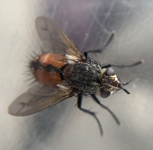
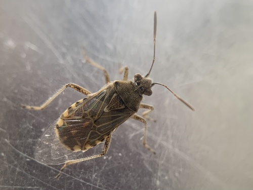
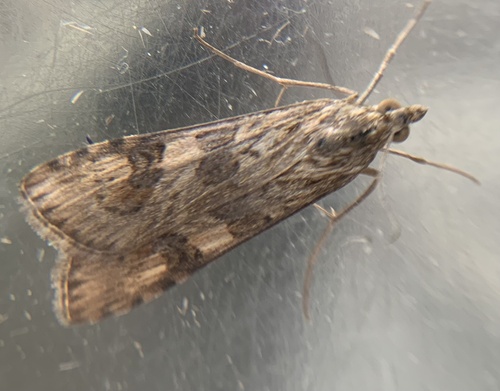
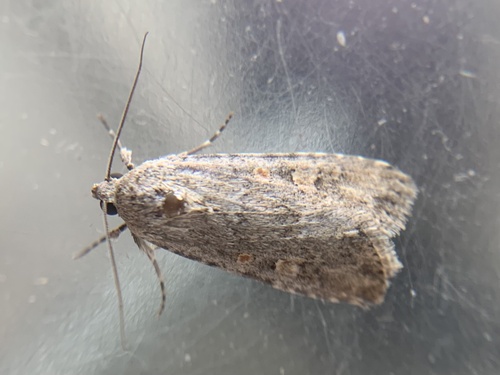
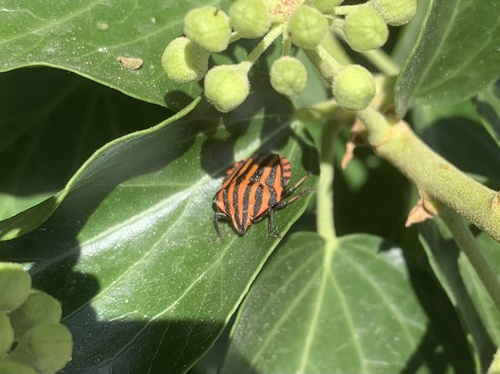

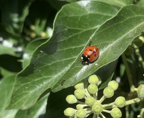
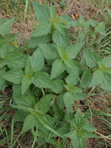
Research-grade observations from iNaturalist (within ~15 mi).
Events
Gallery
Official Identifiers
INSEE — French National Institute of Statistics
- INSEE code
- 67348
- Department
- 67
- Region
- 44
- Population (Wikidata)
- 12,587
geo.api.gouv.fr
Sources
- • Wikipedia
- • Wikidata
- • iNaturalist
- • Open-Meteo / sunrise-sunset.org
- • Wikipedia Pageviews API
- • Open Library
- • Wikidata SPARQL (CC0) — population, area, elevation, inception, head of government, Commons image
- • INSEE — French national statistics, via geo.api.gouv.fr (official commune code, population, surface, department, region)
- • INSEE — French National Institute of Statistics — geo.api.gouv.fr