Browse / France / Provence-Alpes-Côte d'Azur / Oppède
Oppède
Provence-Alpes-Côte d'Azurvillage

Oppède
Total population
1,284
Demographic figures from INSEE. Overview below cites Wikipedia and may reference a different year.
City facts
Facts from Wikidata (CC0).
Overview
Oppède is a commune in the Vaucluse department in the Provence-Alpes-Côte d'Azur region in southeastern France. Oppidum is the Latin word for 'fortified town'.
Read more on WikipediaHistory & geography
History
It is in fact two villages: Oppède-le-Vieux ("the old" in French), built against the Petit Luberon and dating back to the 12th century, and Oppède-les-Poulivets ("nice view" in Provençal), today known as "le village", down in the valley. The old village, built on a rocky hill, has narrow streets. In winter, the Petit Luberon starts casting its shadow early in the afternoon. Houses beyond the medieval ramparts are dark, humid and tricky to maintain. From below the village is dominated by the restored church of Notre-Dame-Dalidon and the ruins of the castle. In the 19th century, the inhabitants had enough and started to move down in the valley, dismantling the roof of their houses to stop paying property taxes. By the beginning of the 20th century, Oppède-le-Vieux was a ghost village and a new community was officially established in the valley, with larger streets, cosier houses and farmers closer to their fields. Following the armistice of June 1940, architect Bernard Zehrfuss founded a commune of artists in the old town, a project that attracted French sculptor François Stahly and the writer and artist Consuelo de Saint-Exupéry. The commune proved short-lived. It was the basis for Saint-Exupéry's fictionalized account, published in 1946, called "Kingdom of the Rocks".
Geography
The commune is traversed by the river Calavon.
Excerpted from the corresponding Wikipedia article (CC BY-SA).
Geography
Coordinates & boundaries from the US Census TIGER/Line shapefiles.
Climate
Air quality
Walkability
Amenities nearby
Wildlife & biodiversity
Earthquake history
Photos
Sights & places nearby
Notable people from here


People born within ~10 km, from Wikidata (CC0). Click any name for their Wikipedia article.
Nearby places in Provence-Alpes-Côte d'Azur
- Maubec1.7 mi away · pop. 1,914
- Ménerbes2.1 mi away · pop. 979
- Petit Palais5 mi away
- Cheval-Blanc6.1 mi away · pop. 4,317
- Saumane-de-Vaucluse7 mi away · pop. 908
- Murs8.2 mi away · pop. 404
- Les Vignères8.5 mi away
- Gargas10.2 mi away · pop. 3,039
- Cabannes11 mi away · pop. 4,595
- Saint-Andiol11.2 mi away · pop. 3,380
- Mollégès11.3 mi away · pop. 2,666
- Saint-Saturnin-lès-Avignon14.2 mi away · pop. 5,119
Geography & sun
Elevation, sunrise/sunset and daylight from Open-Meteo. Solar climatology from NASA POWER.
Nearby airports
Public attention
Pageview totals from the Wikimedia Pageviews API.
Books about this place
Recent natural events nearby
Ground air-quality sensors
Recently spotted species
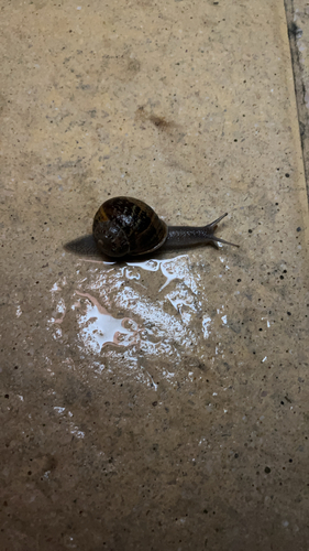
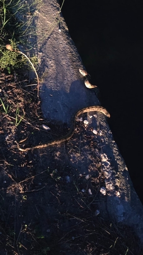
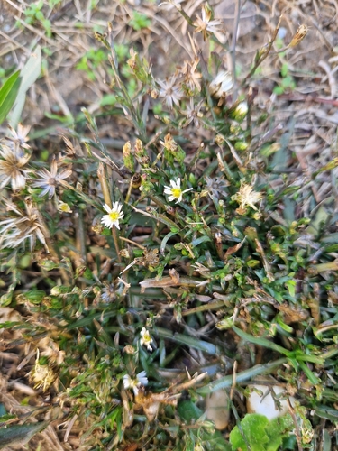
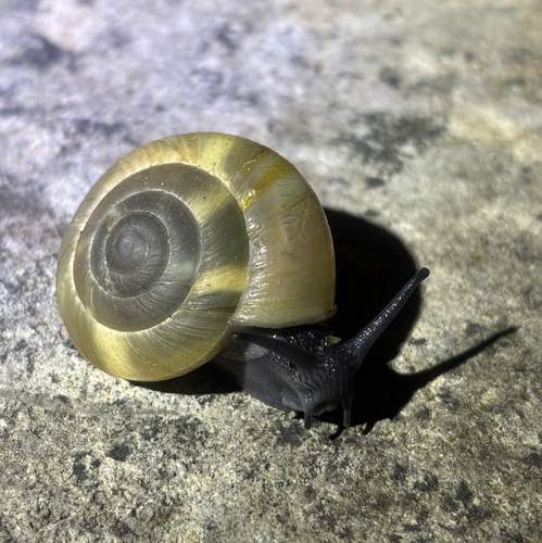
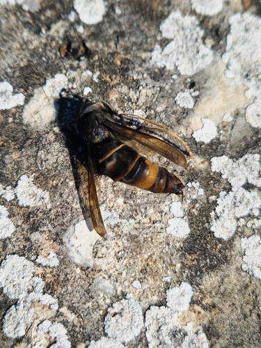
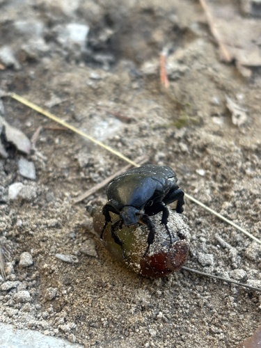
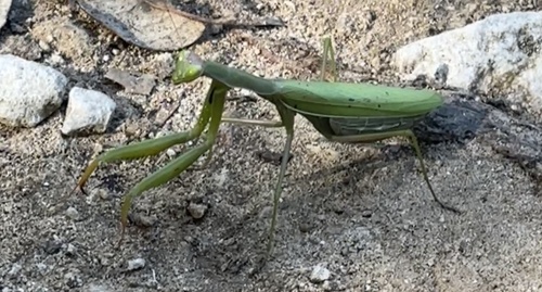
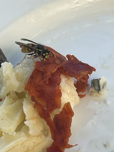
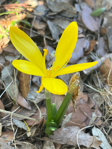
Research-grade observations from iNaturalist (within ~15 mi).
Events
Gallery
Official Identifiers
INSEE — French National Institute of Statistics
- INSEE code
- 84086
- Department
- 84
- Region
- 93
- Population (Wikidata)
- 1,285
geo.api.gouv.fr
Sources
- • Wikipedia
- • Wikidata
- • iNaturalist
- • Open-Meteo / sunrise-sunset.org
- • Wikipedia Pageviews API
- • INSEE — French national statistics, via geo.api.gouv.fr (official commune code, population, surface, department, region)
- • INSEE — French National Institute of Statistics — geo.api.gouv.fr