Browse / France / Centre-Val de Loire / Orléans
Orléans
Centre-Val de Loirecity

Orléans
Total population
116,617
Demographic figures from INSEE. Overview below cites Wikipedia and may reference a different year.
City facts
Sister cities
Facts from Wikidata (CC0).
Overview
Orléans is a city in north-central France, about 120 kilometres southwest of Paris. It is the prefecture of the department of Loiret, within the region of Centre-Val de Loire.
Read more on WikipediaHistory & geography
History
:See also Cenabum, Aureliana Civitas. Cenabum was a Gaul stronghold, one of the principal towns of the tribe of the Carnutes where the Druids held their annual assembly. The Carnutes were massacred and the city was destroyed by Julius Caesar in 52 BCE. In the late 3rd century CE, the city was renamed civitas Aurelianorum ("city of Aurelians »), possibly in honor of one of the many Roman Emperors bearing the nomen gentilicum around that time. The name later evolved into Orléans. In 442 Flavius Aetius, the Roman commander in Gaul, requested Goar, head of the Iranian tribe of Alans in the region to come to Orleans and control the rebellious natives and the Visigoths. Accompanying the Vandals, the Alans crossed the Loire in 408. One of their groups, under Goar, joined the Roman forces of Flavius Aetius to fight Attila when he invaded Gaul in 451, taking part in the Battle of Châlons under their king Sangiban. Goar established his capital in Orléans. His successors later took possession of the estates in the region between Orléans and Paris. Installed in Orléans and along the Loire, they were unruly (killing the town's senators when they felt they had been paid too slowly or too little) and resented by the local inhabitants. Many inhabitants around the present city have names bearing witness to the Alan presence – Allaines. Also many places in the region bear names of Alan origin. In the Merovingian era, the city was capital of the Kingdom of Orléans following Clovis I's division of the kingdom, then under the Capetians it became the capital of a county then duchy held in appanage by the house of Valois-Orléans. The Valois-Orléans family later acceded to the throne of France via Louis XII, then Francis I. In 1108, Louis VI of France became one of the few French monarchs…
Geography
Orléans is located in the northern bend of the Loire, which crosses from east to west. Orléans belongs to the vallée de la Loire sector between Sully-sur-Loire and Chalonnes-sur-Loire, which was in 2000 inscribed by UNESCO as a World Heritage Site. The capital of Orléanais, 120 kilometres southwest of Paris, is bordered to the north by the Beauce region, more specifically the Orléans Forest (French: forêt d'Orléans) and Orléans-la-Source neighbourhood, and the Sologne region to the south. Five bridges in the city cross the Loire: Pont de l'Europe, Pont du Maréchal Joffre (also called Pont Neuf), Pont George-V (also called Pont Royal, carrying the commune tramway), Pont René-Thinat and Pont de Vierzon (rail bridge). To the north of the Loire (rive droite) is to be found a small hill ( at the pont Georges-V, at the Place du Martroi) which gently rises to at la Croix Fleury, at the limits of Fleury-les-Aubrais. Conversely, the south (on the rive gauche) has a gentle depression to about above sea level (at Saint-Marceau) between the Loire and the Loiret, designated a "zone inondable" (flood-risk zone). At the end of the 1960s, the neighbourhood was created, to the south of the original commune and separated from it by the Val d'Orléans and the river Loiret (whose source is in the Parc Floral de la Source). This quarter's altitude varies from about . Orléans experiences an oceanic climate (Köppen climate classification Cfb), similar to much of central France. July and August, the warmest months, have an average temperature of and a high of , while January, the coldest month, has an average temperature of and an average low temperature of , although February has a lower average low than January at . The record high temperature is recorded in July, while the…
Excerpted from the corresponding Wikipedia article (CC BY-SA).
Geography
Coordinates & boundaries from the US Census TIGER/Line shapefiles.
Climate
10-year averages from ERA5 reanalysis (Open-Meteo).
Air quality
Walkability
Amenities nearby
Wildlife & biodiversity
Earthquake history
Photos
Sights & places nearby
Notable people from here


People born within ~10 km, from Wikidata (CC0). Click any name for their Wikipedia article.
Nearby places in Centre-Val de Loire
- Boigny-sur-Bionne4.8 mi away · pop. 2,094
- Bucy-Saint-Liphard7.1 mi away · pop. 202
- Boulay-les-Barres7.9 mi away · pop. 1,052
- Rozières-en-Beauce10 mi away · pop. 179
- Traînou10.1 mi away · pop. 3,435
- Coinces10.8 mi away · pop. 494
- Gémigny10.8 mi away · pop. 214
- Bougy-lez-Neuville10.9 mi away · pop. 158
- Villereau12.1 mi away · pop. 397
- Artenay12.5 mi away · pop. 1,983
- Trinay12.8 mi away · pop. 213
- La Ferté-Saint-Aubin12.9 mi away · pop. 7,318
Geography & sun
Elevation, sunrise/sunset and daylight from Open-Meteo. Solar climatology from NASA POWER.
Nearby airports
Public attention
Pageview totals from the Wikimedia Pageviews API.
Books about Orléans
Search results from Open Library.
Recent natural events nearby
Ground air-quality sensors
Recently spotted species
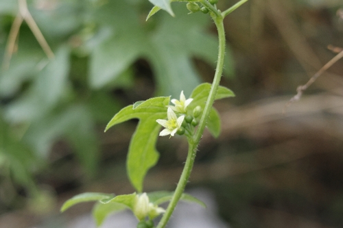
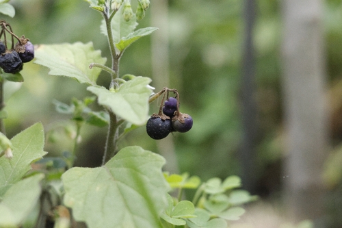
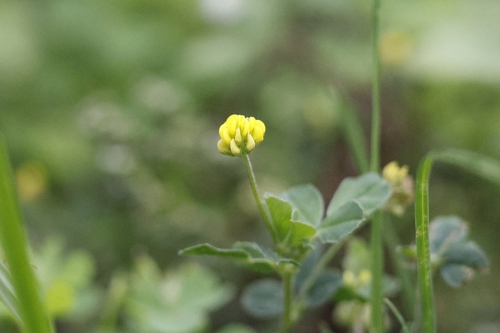
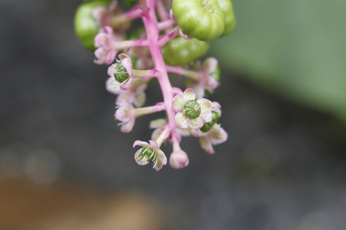
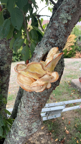
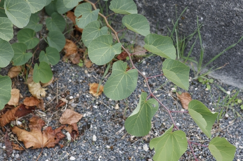
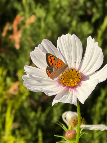
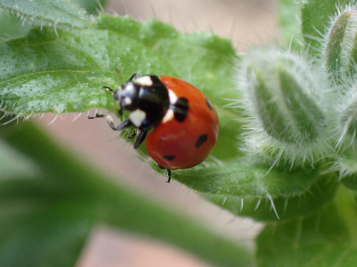
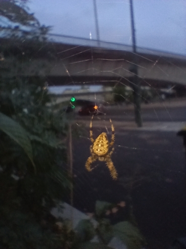
Research-grade observations from iNaturalist (within ~15 mi).
Events
Notable, recurring, and historical events associated with Orléans, sourced from Wikidata.
Source: Wikidata (CC0).
Gallery
Geotagged photos within ~6 miles of Orléans, from Wikimedia Commons contributors.


.jpg)


.jpeg)
.jpeg)
.jpeg)
._(6813294053).jpg)
_-_2022-07-16_-_10.jpg)
_-_2022-07-16_-_11.jpg)
Photos via Wikimedia Commons — see each image page for license & attribution.
Official Identifiers
INSEE — French National Institute of Statistics
- INSEE code
- 45234
- Department
- 45
- Region
- 24
- Population (Wikidata)
- 116,357
geo.api.gouv.fr
Sources
- • Wikipedia
- • Open-Meteo (ERA5 reanalysis)
- • Wikimedia Commons
- • Wikidata
- • iNaturalist
- • Open-Meteo / sunrise-sunset.org
- • Wikipedia Pageviews API
- • Open Library
- • Wikidata SPARQL (CC0) — population, area, elevation, inception, head of government, Commons image
- • INSEE — French national statistics, via geo.api.gouv.fr (official commune code, population, surface, department, region)
- • INSEE — French National Institute of Statistics — geo.api.gouv.fr