Browse / France / Hauts-de-France / Oulchy-le-Château
Oulchy-le-Château
Hauts-de-Francevillage

Oulchy-le-Château
Total population
814
Air quality index
Demographic figures from INSEE. Overview below cites Wikipedia and may reference a different year.
City facts
Facts from Wikidata (CC0).
Overview
Oulchy-le-Château is a commune in the Aisne department in Hauts-de-France in northern France.
Read more on WikipediaHistory & geography
History
On the night of 2/3 March 1814, the area was taken by imperial troops commanded by Captain Parquin. In 1976, the commune of Cugny-lès-Crouttes was absorbed.
Geography
The town is located about from Paris, between Soissons to the north and Château-Thierry to the south. It is directly accessible by highway. *Cugny-lès-Crouttes, located to the east
Excerpted from the corresponding Wikipedia article (CC BY-SA).
Geography
Coordinates & boundaries from the US Census TIGER/Line shapefiles.
Climate
Air quality
Current readings from Open-Meteo Air Quality API (Copernicus CAMS European reanalysis).
Walkability
Amenities nearby
Wildlife & biodiversity
Earthquake history
Events from the USGS Earthquake Catalog (global) (FDSN Event Web Service).
Photos
Sights & places nearby
Notable people from here
Geography & sun
Nearby airports
Public attention
Books about this place
Recent natural events nearby
Ground air-quality sensors
Recently spotted species
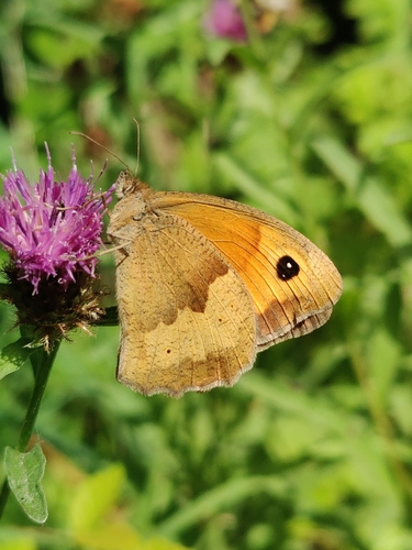
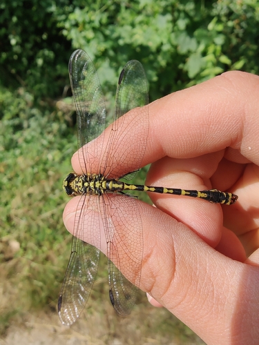
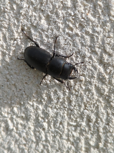
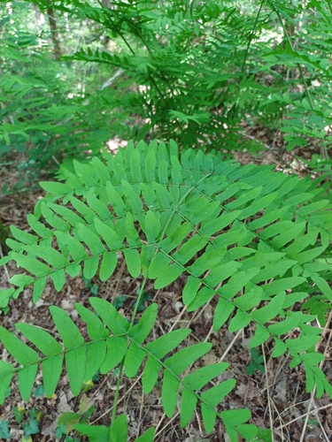
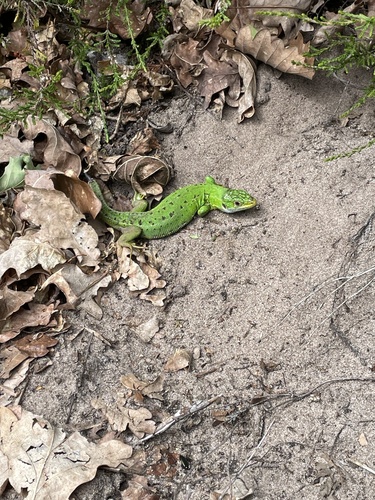

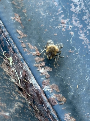
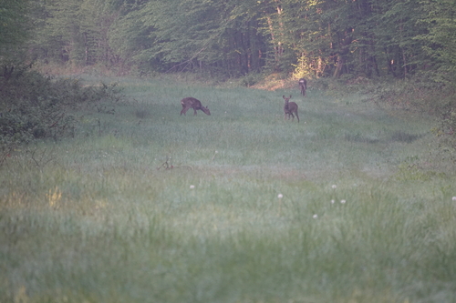
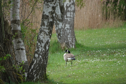
Research-grade observations from iNaturalist (within ~15 mi).
Events
Gallery
Official Identifiers
INSEE — French National Institute of Statistics
- INSEE code
- 02580
- Department
- 02
- Region
- 32
- Population (Wikidata)
- 785
geo.api.gouv.fr
Sources
- • Wikipedia
- • Wikidata
- • Open-Meteo Air Quality (CAMS)
- • USGS Earthquake Catalog (global feed)
- • iNaturalist
- • INSEE — French national statistics, via geo.api.gouv.fr (official commune code, population, surface, department, region)
- • INSEE — French National Institute of Statistics — geo.api.gouv.fr