Browse / France / Occitanie / Pamiers
Pamiers
Occitanietown

Pamiers
Total population
16,394
Demographic figures from INSEE. Overview below cites Wikipedia and may reference a different year.
City facts
Sister cities
Facts from Wikidata (CC0).
Overview
Pamiers is a commune and largest city in the Ariège department in the Occitanie region in southwestern France. It is a sub-prefecture of the department. It is the most populous commune in the Ariège department, although it is not the capital which is the smaller town of Foix. The seat of the Bishop of Pamiers is at the Pamiers Cathedral. The current mayor of the town is Jean-Philippe Sannac.
Read more on WikipediaHistory & geography
History
The town itself dates back to the 5th century. The origin of its name is subject to debate. A certain school of linguists tends to believe that it was derived from the fact that, when Pamiers was founded, its new inhabitants were given land parcels measured in pams', from empan (from the Latin "pannus" meaning "piece of cloth"). Originally it was called Ville de Pams. Another explanation is one involving Roger II de Foix, who had gone to a crusade in the region of Apamea in Syria and who, upon his return to France, gave his castle and domain the name of one of his battles: Castrum Appamiae, name later on given to the town. The fact that Pamiers' inhabitants are called Appaméens would seem to favour this hypothesis. In the 18th century a plural stance on the word was introduced making the name "Apamias" derived from ecclesiastical language and also similar to the Occitan language. The Occitan name "Pamias" can be seen on the town sign, alongside the French name Pamiers, as one enters the town via the old route from Toulouse, RN20.
Geography
Pamiers is located on the river Ariège. The town of Pamiers is famous for its three bell towers and for being the birthplace of Gabriel Fauré, one of the greatest French musicians and composers of the late 19th and early 20th century. It also boasts awards for Ville fleurie, the equivalent of "town in bloom". Local facilities include good restaurants, bars, supermarkets, large public indoor and outdoor swimming pools (one of which is 50m). Pamiers lies in an ancient alluvial plain of the Ariège in the area called La Basse Ariège, noted for its rich fertile soil ideal for agriculture. Pamiers has 16,473 inhabitants, the Appaméens, and is the economic capital of the Ariège, being the most important town in the department. The main square of Pamiers, Place de la République, is paved in red marble. Every week, three large open-air farmers' markets are held, plus a flea market every Sunday morning. Nearby are the old Tour des Cordeliers and the large Church of Notre-Dame-du-Camp.
Excerpted from the corresponding Wikipedia article (CC BY-SA).
Geography
Coordinates & boundaries from the US Census TIGER/Line shapefiles.
Climate
Air quality
Walkability
Amenities nearby
Wildlife & biodiversity
Most-observed species
- Common BuzzardButeo buteo (Linnaeus, 1758) · Aves865
- Eurasian BlackbirdTurdus merula Linnaeus, 1758 · Aves819
- Eurasian BlackcapSylvia atricapilla (Linnaeus, 1758) · Aves807
- Carrion CrowCorvus corone Linnaeus, 1758 · Aves673
- Eurasian KestrelFalco tinnunculus Linnaeus, 1758 · Aves628
- Red KiteMilvus milvus (Linnaeus, 1758) · Aves621
- Great TitParus major Linnaeus, 1758 · Aves611
- House SparrowPasser domesticus (Linnaeus, 1758) · Aves607
Citizen-science & research observations from the Global Biodiversity Information Facility (GBIF).
Earthquake history
Most recent
- M 4.6 — 2023-08-2811 km W of Espot, Spain
- M 4 — 2022-02-017 km ESE of Farrera, Spain
- M 3.7 — 2019-04-0313 km SE of Sort, Spain
- M 2.5 — 2008-12-298 km NNE of Éller, Spain
- M 2.5 — 2008-12-1810 km ESE of Vielha, Spain
- M 2.8 — 2008-08-2714 km S of Quillan, France
Events from the USGS Earthquake Catalog (global) (FDSN Event Web Service).
Photos
Sights & places nearby
Notable people from here


People born within ~10 km, from Wikidata (CC0). Click any name for their Wikipedia article.
Nearby places in Occitanie
- Varilhes5.1 mi away · pop. 3,495
- Saverdun8.4 mi away · pop. 4,815
- Foix10.4 mi away · pop. 9,472
- Plaigne11.1 mi away · pop. 119
- Gibel12.8 mi away · pop. 383
- Fajac-la-Relenque12.9 mi away · pop. 51
- Caujac14.5 mi away · pop. 866
- Ribouisse15.3 mi away · pop. 106
- Grazac15.6 mi away · pop. 762
- Saint-Amans16.1 mi away · pop. 61
- Saint-Michel-de-Lanès16.3 mi away · pop. 483
- Saint-Gaudéric17.1 mi away · pop. 112
Geography & sun
Elevation, sunrise/sunset and daylight from Open-Meteo. Solar climatology from NASA POWER.
Nearby airports
Public attention
Pageview totals from the Wikimedia Pageviews API.
Books about this place
Recent natural events nearby
Ground air-quality sensors
Recently spotted species
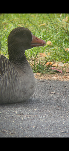
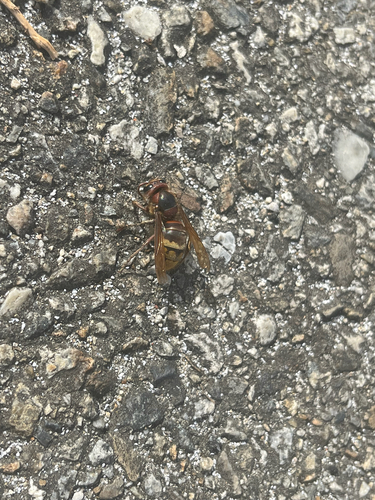
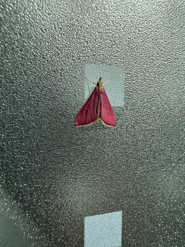
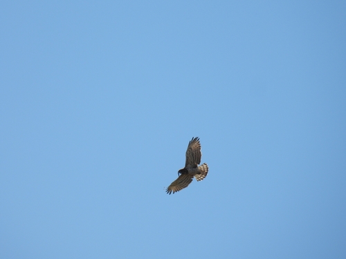
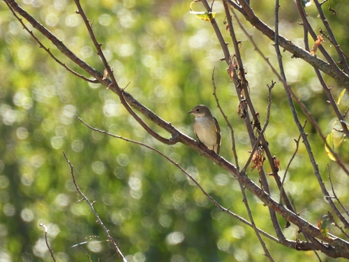
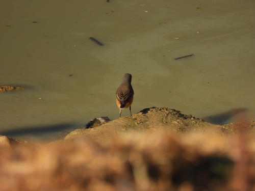
Research-grade observations from iNaturalist (within ~15 mi).
Events
Gallery
Official Identifiers
INSEE — French National Institute of Statistics
- INSEE code
- 09225
- Department
- 09
- Region
- 76
- Population (Wikidata)
- 16,473
geo.api.gouv.fr
Sources
- • Wikipedia
- • Wikidata
- • USGS Earthquake Catalog (global feed)
- • GBIF (Global Biodiversity Information Facility)
- • iNaturalist
- • Open-Meteo / sunrise-sunset.org
- • Wikipedia Pageviews API
- • Wikidata SPARQL (CC0) — population, area, elevation, inception, head of government, Commons image
- • INSEE — French national statistics, via geo.api.gouv.fr (official commune code, population, surface, department, region)
- • INSEE — French National Institute of Statistics — geo.api.gouv.fr