Browse / France / Occitanie / Perpignan
Perpignan
Occitaniecity

Perpignan
Total population
119,656
Demographic figures from INSEE. Overview below cites Wikipedia and may reference a different year.
City facts
Sister cities
Facts from Wikidata (CC0).
Overview
Perpignan is the prefecture of the Pyrénées-Orientales department in Southern France, in the heart of the plain of Roussillon, at the foot of the Pyrenees a few kilometres from the Mediterranean Sea and the scrublands of the Corbières massif. It is the centre of the Perpignan Méditerranée Métropole metropolitan area.
Read more on WikipediaHistory & geography
History
Though settlement in the area goes back to Roman times, the medieval town of Perpignan seems to have been founded around the beginning of the 10th century. Shortly afterwards, Perpignan became the capital of the counts of Roussillon. Historically, it was part of the region known as Septimania. In 1172 Count Girard II bequeathed his lands to the Counts of Barcelona. Perpignan acquired the institutions of a partly self-governing commune in 1197. French feudal rights over Roussillon were given up by Louis IX in the Treaty of Corbeil. When James I the Conqueror, king of Aragon and count of Barcelona, founded the Kingdom of Majorca in 1276, Perpignan became the capital of the mainland territories of the new state. The subsequent decades are considered the city's historical golden age. It prospered as a centre of cloth manufacture, leatherwork, goldsmithery, and other luxury crafts. King Philippe III of France died there in 1285, as he was returning from his unsuccessful crusade against the Aragonese Crown. In 1344 Peter IV of Aragon annexed the Kingdom of Majorca and Perpignan once more became part of the Principality of Catalonia. A few years later it lost approximately half of its population to the Black Death. It was attacked and occupied by Louis XI in 1463; a violent uprising against French rule in 1473 was harshly put down after a long siege, but in 1493 Charles VIII, wishing to conciliate Castile in order to free himself to invade Italy, restored it to Ferdinand II of Aragon. Again besieged and captured by the French during the Thirty Years' War in September 1642, Perpignan was formally ceded by Spain 17 years later in the Treaty of the Pyrenees, and thereafter remained a French possession. In June 2020, Louis Aliot of the National Rally was elected mayor of…
Geography
Perpignan is located in the center of the Roussillon plain, 13 km west of the Mediterranean coast. It is the southernmost city of metropolitan France. File:Map commune FR insee code 66136.png|Map of Perpignan and its surrounding communes File:Perpignan Pyrenees-Orientales.png|Location within the Pyrénées-Orientales département. Perpignan is crossed by the largest river in Roussillon, the Têt, and by one of its tributaries, the Basse. Floods have occurred, as in 1892 when the rising of the Têt in Perpignan destroyed 39 houses, leaving more than 60 families homeless. Perpignan has a typical hot-summer Mediterranean climate (Köppen Csa), similar to much of the Mediterranean coastline of France. One might expect rain to be rare in the city, but the annual precipitation levels are similar to the national average. However, the city is known for its patchy rains, with weeks or even months of rain falling in a matter of hours, followed by several weeks without a drop of water. Perpignan experiences very hot summers and fairly mild winters. Temperatures can reach , while there has been little snow for decades. Most precipitation occurs in the cold season, with summers being extremely dry. A fresh north-westerly wind often blows, the Tramontana (Catalan: Tramuntana, prononced [tɾəmun̪tanə]; French: Tramontane, pronounced [tʁamɔ̃tan]), keeping the sky clear much of the time and resulting in high annual sunshine. But the presence of this wind makes winters colder than would be expected from the geographical position of the city. ;Roads The A9 motorway connects Perpignan with Barcelona and Montpellier. ;Trains Perpignan is served by the Gare de Perpignan railway station, which offers connections to Paris, Barcelona, Toulouse, and several regional destinations. Salvador…
Excerpted from the corresponding Wikipedia article (CC BY-SA).
Geography
Coordinates & boundaries from the US Census TIGER/Line shapefiles.
Climate
Air quality
Walkability
Amenities nearby
Wildlife & biodiversity
Earthquake history
Photos
Sights & places nearby
Notable people from here


People born within ~10 km, from Wikidata (CC0). Click any name for their Wikipedia article.
Nearby places in Occitanie
- Baho3.8 mi away · pop. 3,327
- Saleilles4 mi away · pop. 5,671
- Villelongue-de-la-Salanque4.9 mi away · pop. 3,301
- Claira5.2 mi away · pop. 4,681
- Bages6.4 mi away · pop. 4,482
- Salses-le-Château9.4 mi away · pop. 3,752
- Estagel11.2 mi away · pop. 2,087
- Padern16.8 mi away · pop. 142
- Rodès17.2 mi away · pop. 677
- Saint-Jean-de-Barrou18.2 mi away · pop. 265
- Vinça19 mi away · pop. 2,156
- Durban-Corbières21.1 mi away · pop. 648
Geography & sun
Elevation, sunrise/sunset and daylight from Open-Meteo. Solar climatology from NASA POWER.
Nearby airports
Public attention
Pageview totals from the Wikimedia Pageviews API.
Books about this place
Recent natural events nearby
Ground air-quality sensors
Recently spotted species

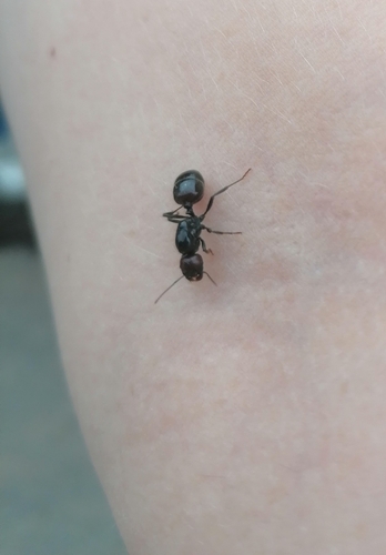

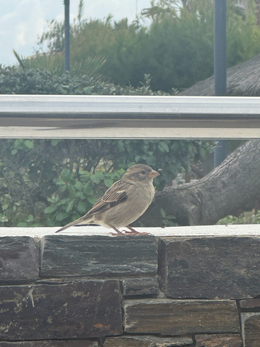
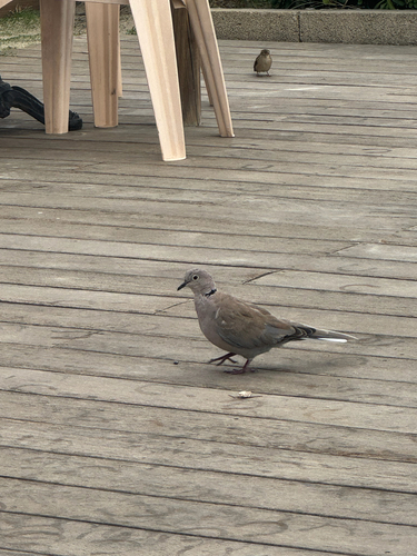

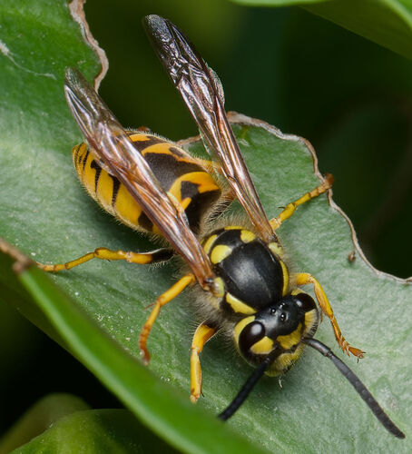
Research-grade observations from iNaturalist (within ~15 mi).
Events
Notable, recurring, and historical events associated with Perpignan, sourced from Wikidata.
- Les Méditerranée(s) Festivalannual event
Source: Wikidata (CC0).
Gallery
Official Identifiers
INSEE — French National Institute of Statistics
- INSEE code
- 66136
- Department
- 66
- Region
- 76
- Population (Wikidata)
- 121,616
geo.api.gouv.fr
Sources
- • Wikipedia
- • Wikidata
- • iNaturalist
- • Open-Meteo / sunrise-sunset.org
- • Wikipedia Pageviews API
- • Wikidata SPARQL (CC0) — population, area, elevation, inception, head of government, Commons image
- • INSEE — French national statistics, via geo.api.gouv.fr (official commune code, population, surface, department, region)
- • INSEE — French National Institute of Statistics — geo.api.gouv.fr