Browse / France / Provence-Alpes-Côte d'Azur / Pierrevert
Pierrevert
Provence-Alpes-Côte d'Azurvillage

Featured view
Pierrevert
Total population
3,941
Elevation308 m
Land area27.9 km²
Coordinates43.81°, 5.75°
Demographic figures from INSEE. Overview below cites Wikipedia and may reference a different year.
Loading additional data from public sources…0 / 11
CensusWikipediaWeatherPlacesPeopleEnvironmentHealth & SchoolsRelatedGeography & CultureLive MonitoringEvents & Gallery
0% completeCity facts
Sister cities
Facts from Wikidata (CC0).
Overview
Pierrevert is a commune in the Alpes-de-Haute-Provence department in southeastern France.
Read more on WikipediaHistory & geography
Geography
Latitude
43.8119
Longitude
5.7493
Water area
—
Coordinates & boundaries from the US Census TIGER/Line shapefiles.
Climate
Air quality
Walkability
Amenities nearby
Wildlife & biodiversity
Earthquake history
Photos
Sights & places nearby
Notable people from here

Jean Giono
French writer (1895–1970)

Adolphe Blanc
French composer (1828–1885)

Hafsia Herzi
French actress, screenwriter, and director

Pierre Magnan
French writer (1922–2012)

Julien El Fares
road bicycle racer
H
Henri Maurel
French politician (1867-1935)

Jean-Michel Bayle
French motorcycle racer
J
Jules Coupier
French writer (1919–2020)
M
Marc-Antoine Laugier
French architectural historian

Élémir Bourges
French writer (1852-1925)
A
Adolphe Defarge
French politician (1836-1910)
C
Claude Thomassin
French poet
C
Claudia Imbert
French photographer
F
Ferdinand Marc Antoine Bernier de Pierrevert

Félix Esclangon
French physicist (1905-1956)

Grégory Basso
French reality television participant
People born within ~10 km, from Wikidata (CC0). Click any name for their Wikipedia article.
Nearby places in Provence-Alpes-Côte d'Azur
- Villemus4 mi away · pop. 193
- Saint-Michel-l'Observatoire6.9 mi away · pop. 1,226
- Fiéraque7.3 mi away
- Le Bars8.3 mi away
- Céreste-en-Luberon8.5 mi away · pop. 1,194
- Fontjoyeuse10.3 mi away
- Les Furets10.6 mi away
- La Figuerolle10.9 mi away
- Belle Étoile11 mi away
- La Bégude11.7 mi away
- Le Boisset11.9 mi away · pop. 65
- La Goye12.3 mi away
Geography & sun
Avg solar (kWh/m²/day)
4.44
Annual solar (kWh/m²)
1,621
Elevation, sunrise/sunset and daylight from Open-Meteo. Solar climatology from NASA POWER.
Nearby airports
Public attention
Wikipedia views (last 30 days)
66
Avg daily Wikipedia views
2
Attention level
Obscure
Pageview totals from the Wikimedia Pageviews API.
Books about this place
Recent natural events nearby
Ground air-quality sensors
Recently spotted species
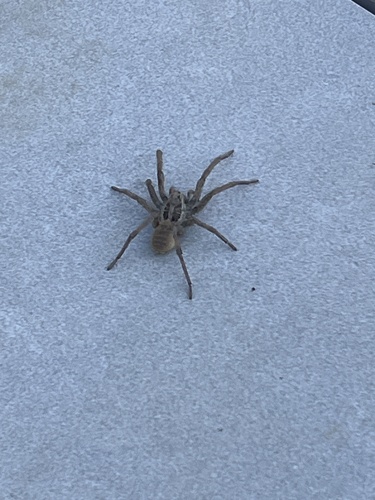
Radiated Wolf Spider
Hogna radiata
Seen 2026-10-21
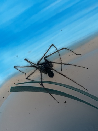
Cardinal Spider
Tegenaria parietina
Seen 2026-10-20
Red Phalarope
Phalaropus fulicarius
Seen 2026-10-18
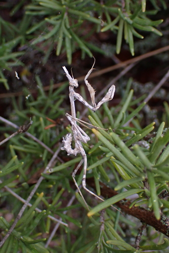
Mediterranean Conehead Mantis
Empusa pennata
Seen 2026-10-18
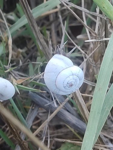
Xeropicta derbentina
Xeropicta derbentina
Seen 2026-10-17
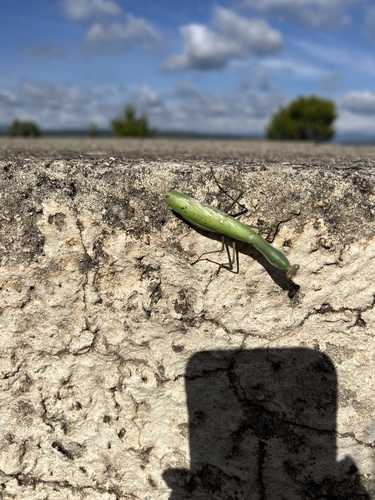
European Mantis
Mantis religiosa
Seen 2026-10-17
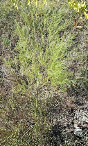
wild asparagus
Asparagus officinalis
Seen 2026-10-17
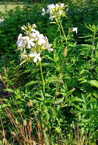
common soapwort
Saponaria officinalis
Seen 2026-10-17
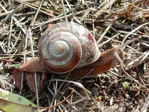
Turkish Snail
Helix lucorum
Seen 2026-10-17
Research-grade observations from iNaturalist (within ~15 mi).
Events
Gallery
Official Identifiers
INSEE — French National Institute of Statistics
- INSEE code
- 04152
- Department
- 04
- Region
- 93
- Population (Wikidata)
- 3,945
geo.api.gouv.fr
Sources
- • Wikipedia
- • Wikidata
- • iNaturalist
- • Open-Meteo / sunrise-sunset.org
- • Wikipedia Pageviews API
- • INSEE — French national statistics, via geo.api.gouv.fr (official commune code, population, surface, department, region)
- • INSEE — French National Institute of Statistics — geo.api.gouv.fr