Browse / France / Nouvelle-Aquitaine / Poitiers
Poitiers
Nouvelle-Aquitainecity

Poitiers
Total population
90,240
Air quality index
Demographic figures from INSEE. Overview below cites Wikipedia and may reference a different year.
City facts
Facts from Wikidata (CC0).
Overview
Poitiers is a university city on the river Clain in west-central France. It is a commune, the capital of the Vienne department, part of the Nouvelle-Aquitaine region of France, and the historical center of Poitou Province. In 2022, the commune of Poitiers had a population of 89,427. Also in 2022, its conurbation had 133,833 inhabitants and its functional area 281,452 inhabitants. It is a city of art and history, still known popularly as the "Ville aux cent clochers".
Read more on WikipediaHistory & geography
History
Poitiers was founded by the Celtic tribe of the Pictones, who also gave it its name and was known as the Oppidum Lemonum before Roman influence. The name is said to have come from the Celtic word for elm, Lemo. After the Roman conquest the town became known as Pictavium, or later "Pictavis", after the original Pictones inhabitants themselves. The city houses a series a of archeological finds from the Roman-era. Until 1857, Poitiers hosted the ruins of a vast Roman Amphitheatre, which was larger than the Amphitheater of Nîmes. Furthermore, Roman baths built in the 1st century and demolished in the 3rd century, were uncovered near the amphitheater in 1877. The first decisive victory of a Western European Christian army over an Islamic power, the Battle of Tours, was fought by Charles Martel's troops in the vicinity of Poitiers on 10 October 732. Eleanor of Aquitaine frequently resided in the town, which she embellished and fortified, and, in 1199, entrusted with communal rights. Poitiers was bombed during World War II, particularly the area around the railway station which was heavily hit on 13 June 1944. From the late 1950s until the late 1960s when Charles de Gaulle ended the American military presence, the U.S. Army and U.S. Air Force had an array of military installations in France, including a major Army logistics and communications hub in Poitiers, part of what was called the Communication Zone (ComZ), and consisting of a logistics headquarters and communications agency located at Aboville Caserne, a military compound situated on a hill above the city. Hundreds of graduates ("Military Brats") of Poitiers American High School, a school operated by the Department of Defense School System (DODDS), have gone on to maintain successful careers, including the recent…
Geography
The city of Poitiers is situated on the Seuil du Poitou, a shallow gap between the Armorican and the Central Massif. The Seuil du Poitou connects the Aquitaine Basin to the South to the Paris Basin to the North. This area is an important geographic crossroads in France and Western Europe. Poitiers's primary site sits on a vast promontory between the valleys of the Boivre and the Clain. The old town occupies the slopes and the summit of a plateau that rises above the streams which surround, and hence benefits from a very strong tactical situation. This was an especially important factor before and throughout the Middle Ages.
Excerpted from the corresponding Wikipedia article (CC BY-SA).
Geography
Coordinates & boundaries from the US Census TIGER/Line shapefiles.
Climate
10-year averages from ERA5 reanalysis (Open-Meteo).
Air quality
Current readings from Open-Meteo Air Quality API (Copernicus CAMS European reanalysis).
Walkability
Amenities nearby
Wildlife & biodiversity
Most-observed species
- Marsh GentianGentiana pneumonanthe L. · Magnoliopsida5,840
- Great TitParus major Linnaeus, 1758 · Aves1,963
- Eurasian BlackbirdTurdus merula Linnaeus, 1758 · Aves1,863
- European RobinErithacus rubecula (Linnaeus, 1758) · Aves1,704
- Common Wood-PigeonColumba palumbus Linnaeus, 1758 · Aves1,538
- Eurasian Blue TitCyanistes caeruleus (Linnaeus, 1758) · Aves1,520
- House SparrowPasser domesticus (Linnaeus, 1758) · Aves1,475
- Common ChaffinchFringilla coelebs Linnaeus, 1758 · Aves1,419
Citizen-science & research observations from the Global Biodiversity Information Facility (GBIF).
Earthquake history
Most recent
- M 4.8 — 2023-06-165 km WNW of Mauzé-sur-le-Mignon, France
- M 4 — 2019-06-212 km WSW of Vihiers, France
- M 4.1 — 2018-02-123 km SSE of La Meilleraie-Tillay, France
- M 4.2 — 2016-05-026 km SE of L'Île-Bouchard, France
- M 4 — 2010-07-255 km ENE of Saint-Maurice-la-Clouère, France
- M 4.2 — 2010-06-301 km ENE of Fontenay-le-Comte, France
Events from the USGS Earthquake Catalog (global) (FDSN Event Web Service).
Photos
Sights & places nearby
Notable people from here


People born within ~10 km, from Wikidata (CC0). Click any name for their Wikipedia article.
Nearby places in Nouvelle-Aquitaine
- Buxerolles1.4 mi away · pop. 10,105
- Migné-Auxances3.5 mi away · pop. 6,197
- Nouaillé-Maupertuis6.1 mi away · pop. 2,926
- Nieuil-l'Espoir8.6 mi away · pop. 2,729
- Vouillé9.2 mi away · pop. 3,693
- Coulombiers9.8 mi away · pop. 1,136
- Jardres10.7 mi away · pop. 1,260
- Naintré14.4 mi away · pop. 5,944
- Rouillé18 mi away · pop. 2,510
- Lauthiers18.8 mi away · pop. 68
- Saurais23.2 mi away · pop. 185
- Saint-Pierre-de-Maillé24.8 mi away · pop. 867
Geography & sun
Elevation, sunrise/sunset and daylight from Open-Meteo. Solar climatology from NASA POWER.
Nearby airports
Public attention
Pageview totals from the Wikimedia Pageviews API.
Books about Poitiers
Search results from Open Library.
Recent natural events nearby
Ground air-quality sensors
Recently spotted species
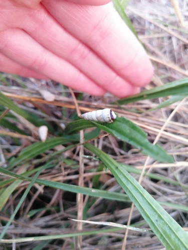
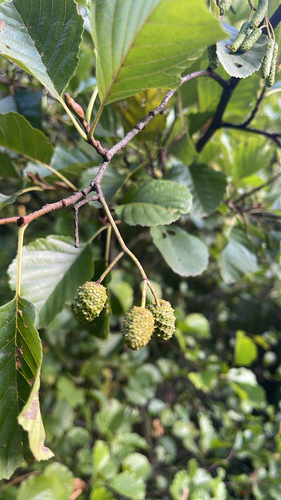
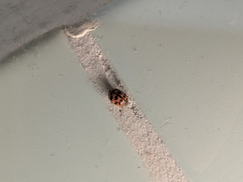
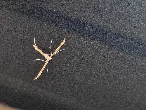
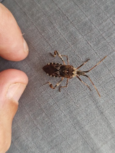
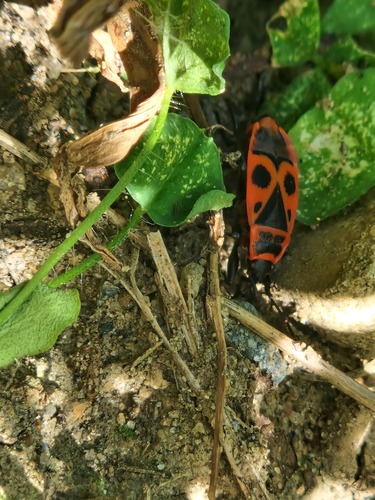
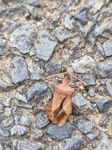
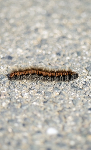
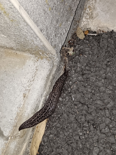
Research-grade observations from iNaturalist (within ~15 mi).
Events
Gallery
Geotagged photos within ~6 miles of Poitiers, from Wikimedia Commons contributors.


.jpg)
.jpg)


.JPG)
.JPG)
_en_janvier_2024.JPG)
_d%C3%A9cembre_2023.JPG)

Photos via Wikimedia Commons — see each image page for license & attribution.
Official Identifiers
INSEE — French National Institute of Statistics
- INSEE code
- 86194
- Department
- 86
- Region
- 75
- Population (Wikidata)
- 89,916
geo.api.gouv.fr
Sources
- • Wikipedia
- • Open-Meteo (ERA5 reanalysis)
- • Wikimedia Commons
- • Wikidata
- • Open-Meteo Air Quality (CAMS)
- • USGS Earthquake Catalog (global feed)
- • GBIF (Global Biodiversity Information Facility)
- • iNaturalist
- • Open-Meteo / sunrise-sunset.org
- • Wikipedia Pageviews API
- • Open Library
- • Wikidata SPARQL (CC0) — population, area, elevation, inception, head of government, Commons image
- • INSEE — French national statistics, via geo.api.gouv.fr (official commune code, population, surface, department, region)
- • INSEE — French National Institute of Statistics — geo.api.gouv.fr