Browse / France / Grand Est / Reims
Reims
Grand Estcity

Reims
Total population
179,380
Air quality index
Demographic figures from INSEE. Overview below cites Wikipedia and may reference a different year.
City facts
Facts from Wikidata (CC0).
Overview
Reims is the most populous city in the French department of Marne, and the 12th most populous city in France. The city lies 129 km (80 mi) northeast of Paris on the Vesle river, a tributary of the Aisne.
Read more on WikipediaHistory & geography
History
Christianity had become established in the city by 260, at which period Saint Sixtus of Reims founded the Diocese of Reims (which would be elevated to an archdiocese around 750). The consul Jovinus, an influential supporter of the new faith, repelled the Alamanni who invaded Champagne in 336, but the Vandals captured the city in 406 and slew Bishop Nicasius; The city was stricken with plague in 1635, and again in 1668, followed by an epidemic of typhus in 1693–1694. The construction of the dates back to the same century. The Place Royale was built in the 18th century. Some of the 1792 September Massacres took place in Reims. In the invasions of the War of the Sixth Coalition in 1814, anti-Napoleonic allied armies captured and re-captured Reims. "In 1852, the Eastern Railways completed the Paris–Strasbourg main line with branch lines to Reims and Metz." In 1870–1871, during the Franco-Prussian War, the victorious Germans made it the seat of a governor-general and impoverished it with heavy requisitions. On 30 October 1908, Henri Farman made the first cross-country flight from Châlons to Reims. In August 1909 Reims hosted the first international aviation meet, the . Major aviation personages such as Glenn Curtiss, Louis Blériot and Louis Paulhan participated. Hostilities in World War I greatly damaged the city. German bombardment and a subsequent fire in 1914 did severe damage to the cathedral. The ruined cathedral became one of the central images of anti-German propaganda produced in France during the war, which presented it, along with the ruins of the Ypres Cloth Hall and the University Library in Louvain, as evidence that German aggression targeted cultural landmarks of European civilization. Since the end of World War I, an international effort to restore the…
Excerpted from the corresponding Wikipedia article (CC BY-SA).
Geography
Coordinates & boundaries from the US Census TIGER/Line shapefiles.
Climate
10-year averages from ERA5 reanalysis (Open-Meteo).
Air quality
Current readings from Open-Meteo Air Quality API (Copernicus CAMS European reanalysis).
Walkability
Amenities nearby
Wildlife & biodiversity
Most-observed species
- House SparrowPasser domesticus (Linnaeus, 1758) · Aves1,276
- Great TitParus major Linnaeus, 1758 · Aves1,118
- Eurasian BlackbirdTurdus merula Linnaeus, 1758 · Aves1,062
- Common ChaffinchFringilla coelebs Linnaeus, 1758 · Aves1,010
- Eurasian Blue TitCyanistes caeruleus (Linnaeus, 1758) · Aves996
- Common Wood-PigeonColumba palumbus Linnaeus, 1758 · Aves932
- Eurasian Collared-DoveStreptopelia decaocto (Frivaldszky, 1838) · Aves746
- European RobinErithacus rubecula (Linnaeus, 1758) · Aves667
Citizen-science & research observations from the Global Biodiversity Information Facility (GBIF).
Earthquake history
Events from the USGS Earthquake Catalog (global) (FDSN Event Web Service).
Photos
Sights & places nearby
Notable people from here


People born within ~10 km, from Wikidata (CC0). Click any name for their Wikipedia article.
Nearby places in Grand Est
- Bétheny2.1 mi away · pop. 7,086
- Taizy20.9 mi away · pop. 103
- Saint-Fergeux22.6 mi away · pop. 215
- Sarry28.8 mi away · pop. 2,011
- Hans33.9 mi away · pop. 130
- Fère-Champenoise34.8 mi away · pop. 2,170
- Sainte-Menehould40.7 mi away · pop. 4,166
- Rocroi51 mi away · pop. 2,259
- Revigny-sur-Ornain52.5 mi away · pop. 2,702
- Monthermé53.6 mi away · pop. 2,170
- Naux55.7 mi away
- Les Hautes-Rivières56.5 mi away · pop. 1,318
Geography & sun
Elevation, sunrise/sunset and daylight from Open-Meteo. Solar climatology from NASA POWER.
Nearby airports
Public attention
Pageview totals from the Wikimedia Pageviews API.
Books about Reims
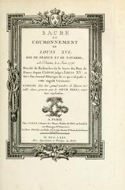



Search results from Open Library.
Recent natural events nearby
Ground air-quality sensors
Recently spotted species
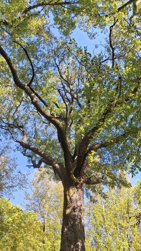
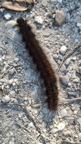
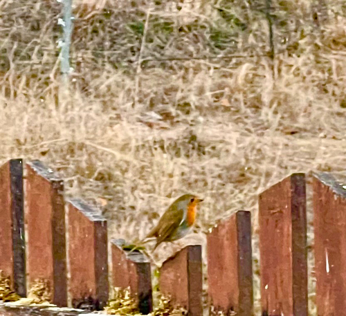
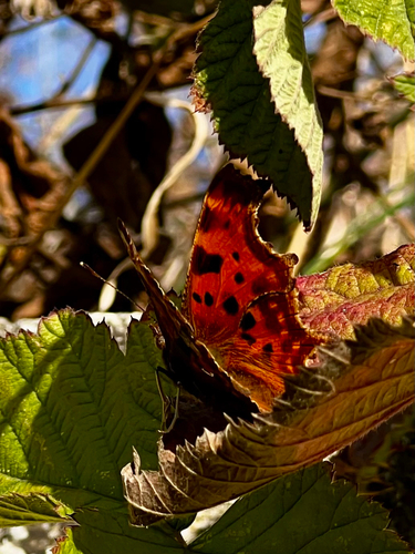
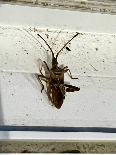
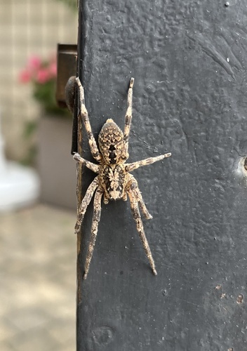
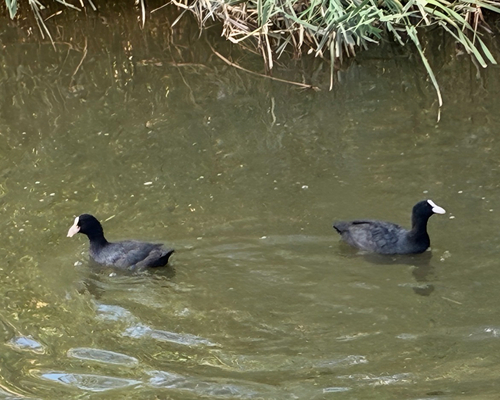
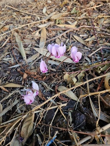
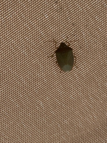
Research-grade observations from iNaturalist (within ~15 mi).
Events
Notable, recurring, and historical events associated with Reims, sourced from Wikidata.
- Q140737079festival
- Grande Semaine d'Aviation de la ChampagneAug 22, 1909sporting event
Source: Wikidata (CC0).
Gallery
Geotagged photos within ~6 miles of Reims, from Wikimedia Commons contributors.


.JPG)
.JPG)
.JPG)
.JPG)
.JPG)
.JPG)
.JPG)
.JPG)
.JPG)
.jpg)

.JPG)
.JPG)
.JPG)
.JPG)
.JPG)
.JPG)
.JPG)
.JPG)
.JPG)
.JPG)
Photos via Wikimedia Commons — see each image page for license & attribution.
Official Identifiers
INSEE — French National Institute of Statistics
- INSEE code
- 51454
- Department
- 51
- Region
- 44
- Population (Wikidata)
- 177,674
geo.api.gouv.fr
Sources
- • Wikipedia
- • Open-Meteo (ERA5 reanalysis)
- • Wikimedia Commons
- • Wikidata
- • Open-Meteo Air Quality (CAMS)
- • USGS Earthquake Catalog (global feed)
- • GBIF (Global Biodiversity Information Facility)
- • iNaturalist
- • Open-Meteo / sunrise-sunset.org
- • Wikipedia Pageviews API
- • Open Library
- • Wikidata SPARQL (CC0) — population, area, elevation, inception, head of government, Commons image
- • INSEE — French national statistics, via geo.api.gouv.fr (official commune code, population, surface, department, region)
- • INSEE — French National Institute of Statistics — geo.api.gouv.fr