Browse / France / Auvergne-Rhône-Alpes / Riom-ès-Montagnes
Riom-ès-Montagnes
Auvergne-Rhône-Alpesvillage

Riom-ès-Montagnes
Total population
2,428
Demographic figures from INSEE. Overview below cites Wikipedia and may reference a different year.
City facts
Facts from Wikidata (CC0).
Overview
Riom-ès-Montagnes is a commune in the Cantal department in south-central France.
Read more on WikipediaHistory & geography
History
Its creation dates back to the ancient Gallo-Roman era as evidenced by the very name of the city, the Gaulish "rigomagos" meaning the king's market. * • February 1790: the Arbres and Châteauneuf are erected in common but are attached to Riom in 1836 * • 1836: the municipality of Riom changes its name to Riom-ès-Montagnes. * • June 7, 1908: electrification of the town by Mr. Gratacap, engineer at Maurs * • May 26, 1912: First tourist guide of the city * • February 1920: creation of an initiative syndicate * • 1924: revival of fairs thanks to the railway. The most famous is that of St. Michael. * • 1925: industrial production of Auvergne Gentiane by Émile Refouvelet, ancestor of the Avèze. * • 1938: the extension of the city causes problems of water supply and makes it necessary to give names to the streets. * • May 30, 1970: creation of the Haut Cantal clinic. Currently rest home and postoperative care. * • 1998: Creation of the Geneviève Champsaur center (reception of patients suffering from multiple sclerosis) * • 2006: creation of a home and care facility for Alzheimer's * • 2009: creation of a functional rehabilitation center for the rehabilitation of respiratory patients.
Geography
Main town of the "Pays Gentiane", the city is located northwest of the department of Cantal, in the heart of the regional natural park of Auvergne Volcanoes. Riom-ès-Montagnes is located between the Monts Dore and the Mounts of Cantal at an altitude of 840 meters. The name Riom is also used for a town away from the mountains in the Puy-de-Dome department in the Auvergne.The Riom name for the two towns goes back at least to Roman times - "Ricomagus" for Riom and "Rigomagus" for Riom-ḕs-Montagnes. The Véronne river crosses Riom-ès-Montagnes. It flows into Petite Rhue, which marks the boundary between Riom-ès-Montagnes and the neighboring towns of Marchastel and Saint-Amandin. The dam of Journiac is partly on the town, on the Petite Rhue at the limit with Saint-Amandin. Other rivers crisscross the town as the brook of Grolle, the brook of Cheylat, the Soulou... The climate is a mountain climate where there is a frequent presence of frost and snow in winter and in the summer days can be hot and sunny followed by cooler nights. Spring and autumn are characterized by an abundance of rainy days and the frequent presence of fog. Once very used, rail transport is still active thanks to the Gentian express, touristic train that circulates in Haute-Auvergne, stops in Riom-ès-Montagnes station and partially takes the old line of Bort-les-Orgues to Neussargues . This line was inaugurated on July 5, 1908. Louis Bonnet, creator of the "Auvergnat de Paris" was a forerunner in what is nowadays called "organized trips". In 1904, he created the trains that bear his name. Until 1939, they drove, at a reduced price, every spring and summer, compatriots in the country. A special atmosphere prevails in these wagons, as it should be between Auvergnats: Cabrette and snack, Bourrée on the…
Excerpted from the corresponding Wikipedia article (CC BY-SA).
Geography
Coordinates & boundaries from the US Census TIGER/Line shapefiles.
Climate
Air quality
Walkability
Amenities nearby
Wildlife & biodiversity
Most-observed species
- Sea trout, Brown troutSalmo trutta Linnaeus, 1758 · Animalia227
- Great TitParus major Linnaeus, 1758 · Aves188
- Common ChaffinchFringilla coelebs Linnaeus, 1758 · Aves184
- House SparrowPasser domesticus (Linnaeus, 1758) · Aves182
- Eurasian Blue TitCyanistes caeruleus (Linnaeus, 1758) · Aves180
- European RobinErithacus rubecula (Linnaeus, 1758) · Aves165
- Red KiteMilvus milvus (Linnaeus, 1758) · Aves165
- Eurasian BlackbirdTurdus merula Linnaeus, 1758 · Aves164
Citizen-science & research observations from the Global Biodiversity Information Facility (GBIF).
Earthquake history
Most recent
- M 2.7 — 2008-12-054 km NNE of Laguiole, France
- M 2.6 — 2008-11-164 km N of Saint-Georges-de-Mons, France
- M 2.5 — 2008-11-119 km ESE of Sainte-Geneviève-sur-Argence, France
- M 3 — 2008-11-042 km NE of Chaudes-Aigues, France
- M 2.6 — 2008-09-125 km E of Mont-Dore, France
- M 2.5 — 2008-09-129 km SSW of Saint-Sauves-d'Auvergne, France
Events from the USGS Earthquake Catalog (global) (FDSN Event Web Service).
Photos
Sights & places nearby
Notable people from here


People born within ~10 km, from Wikidata (CC0). Click any name for their Wikipedia article.
Nearby places in Auvergne-Rhône-Alpes
- Apchon2.9 mi away · pop. 183
- Salers12.8 mi away · pop. 316
- La Godivelle14.7 mi away · pop. 16
- Murat15.5 mi away · pop. 1,792
- La Tour-d'Auvergne17.3 mi away · pop. 626
- Saint-Alyre-ès-Montagne17.8 mi away · pop. 104
- Moissac17.9 mi away
- Saint-Cirgues-de-Jordanne18 mi away · pop. 145
- Anzat-le-Luguet18.9 mi away · pop. 173
- Mazoires20.2 mi away · pop. 95
- Mont-Dore21.4 mi away · pop. 1,237
- La Bourboule21.5 mi away · pop. 1,752
Geography & sun
Elevation, sunrise/sunset and daylight from Open-Meteo. Solar climatology from NASA POWER.
Nearby airports
Public attention
Pageview totals from the Wikimedia Pageviews API.
Books about this place
Recent natural events nearby
Ground air-quality sensors
Recently spotted species
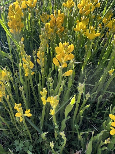
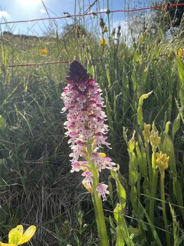
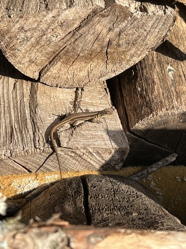
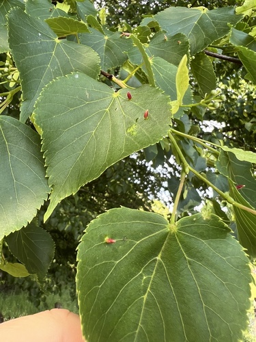
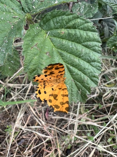
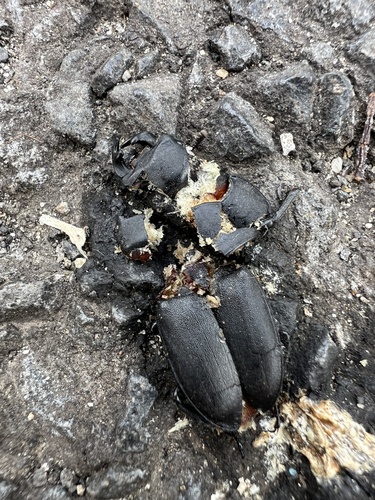
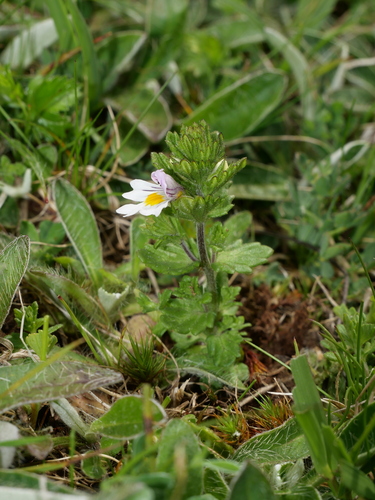
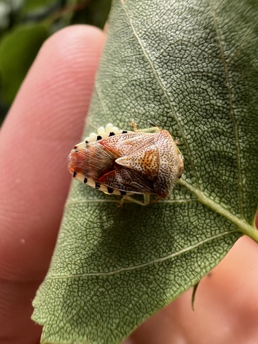
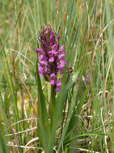
Research-grade observations from iNaturalist (within ~15 mi).
Events
Gallery
Geotagged photos within ~6 miles of Riom-ès-Montagnes, from Wikimedia Commons contributors.
 0.1 mi
 0.1 mi
 0.1 mi
 0.1 mi
 0.1 mi
 0.1 mi
 0.1 mi
 0.1 mi
 0.1 mi
 0.1 mi
 0.1 mi
 0.1 mi
 0.1 mi
 0.1 mi
 0.1 mi
 0.1 mi
.jpg) 0.1 mi
0.1 mi.jpg) 0.1 mi
0.1 mi.jpg) 0.1 mi
0.1 mi.jpg) 0.1 mi
0.1 mi.jpg) 0.1 mi
0.1 mi.jpg) 0.1 mi
0.1 mi.jpg) 0.1 mi
0.1 mi.jpg) 0.1 mi
0.1 miPhotos via Wikimedia Commons — see each image page for license & attribution.
Official Identifiers
INSEE — French National Institute of Statistics
- INSEE code
- 15162
- Department
- 15
- Region
- 84
- Population (Wikidata)
- 2,405
geo.api.gouv.fr
Sources
- • Wikipedia
- • Wikimedia Commons
- • Wikidata
- • USGS Earthquake Catalog (global feed)
- • GBIF (Global Biodiversity Information Facility)
- • iNaturalist
- • Open-Meteo / sunrise-sunset.org
- • Wikipedia Pageviews API
- • INSEE — French national statistics, via geo.api.gouv.fr (official commune code, population, surface, department, region)
- • INSEE — French National Institute of Statistics — geo.api.gouv.fr