Browse / France / Auvergne-Rhône-Alpes / Rochefourchat
Rochefourchat
Auvergne-Rhône-Alpesvillage

Rochefourchat
Total population
1
Air quality index
Demographic figures from INSEE. Overview below cites Wikipedia and may reference a different year.
City facts
Facts from Wikidata (CC0).
Overview
Rochefourchat is a commune in the Drôme department, in the Auvergne-Rhône-Alpes region, southeastern France. In the commune, there is a single house, the St. Pierre's Church, a converted barn, and the ruins of an old castle. The commune is bordered by four other communes, and nearest to Rochefourchat are Saint-Nazaire-le-Désert, Les Tonils, Pradelle, and Brette.
Read more on WikipediaHistory & geography
History
In 1178, the castle of Rocha Forcha was built by the bishops of Die as a stronghold against the Holy Roman Emperors. It belonged to French lords until the year 1766 when the last one, Lord Rey de Noinville, died. In 1796, a French trader, Pierre Jossaud bought the land surrounding the castle and renamed it Rochefourchat. The commune has been passed down through Jossaud's family.
Excerpted from the corresponding Wikipedia article (CC BY-SA).
Geography
Coordinates & boundaries from the US Census TIGER/Line shapefiles.
Climate
10-year averages from ERA5 reanalysis (Open-Meteo).
Air quality
Current readings from Open-Meteo Air Quality API (Copernicus CAMS European reanalysis).
Walkability
Amenities nearby
Wildlife & biodiversity
Most-observed species
- Great TitParus major Linnaeus, 1758 · Aves575
- Blue AphyllanthesAphyllanthes monspeliensis L. · Liliopsida547
- Common ChaffinchFringilla coelebs Linnaeus, 1758 · Aves529
- Eurasian BlackbirdTurdus merula Linnaeus, 1758 · Aves525
- European RobinErithacus rubecula (Linnaeus, 1758) · Aves499
- Stinking HelleboreHelleborus foetidus L. · Magnoliopsida447
- Eurasian BlackcapSylvia atricapilla (Linnaeus, 1758) · Aves389
- Blue CupidoneCatananche caerulea L. · Magnoliopsida334
Citizen-science & research observations from the Global Biodiversity Information Facility (GBIF).
Earthquake history
Most recent
- M 4.8 — 2019-11-115 km WNW of Rochemaure, France
- M 4.3 — 2011-08-034 km ESE of Barjac, France
- M 2.8 — 2008-11-252 km N of Malataverne, France
- M 2.5 — 2008-02-251 km ESE of Domène, France
- M 2.6 — 2008-01-247 km S of Le Cheylard, France
- M 2.5 — 2008-01-224 km NW of Cruas, France
Events from the USGS Earthquake Catalog (global) (FDSN Event Web Service).
Photos
Sights & places nearby
Notable people from here

People born within ~10 km, from Wikidata (CC0). Click any name for their Wikipedia article.
Nearby places in Auvergne-Rhône-Alpes
- Bouvières5.9 mi away · pop. 151
- Barnave7.4 mi away · pop. 213
- Francillon-sur-Roubion8.1 mi away · pop. 188
- Montjoux10 mi away · pop. 328
- Luc-en-Diois10.1 mi away · pop. 565
- Pontaix10.6 mi away · pop. 178
- Rochebaudin10.7 mi away · pop. 121
- Mirabel-et-Blacons10.8 mi away · pop. 1,192
- Saint-Roman11.2 mi away · pop. 226
- Soyans11.3 mi away · pop. 398
- Aix-en-Diois11.3 mi away · pop. 427
- Le Poët-Laval12.2 mi away · pop. 963
Geography & sun
Elevation, sunrise/sunset and daylight from Open-Meteo. Solar climatology from NASA POWER.
Nearby airports
Public attention
Pageview totals from the Wikimedia Pageviews API.
Books about this place
Recent natural events nearby
Ground air-quality sensors
Recently spotted species
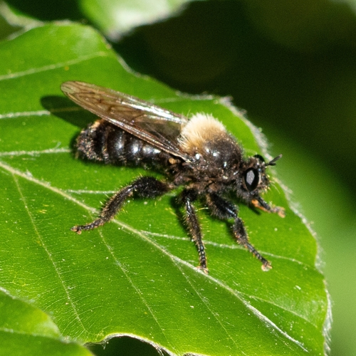
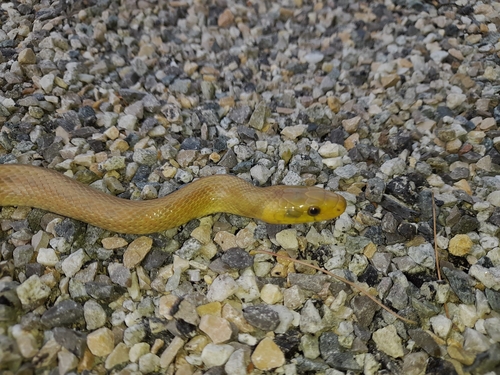
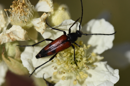
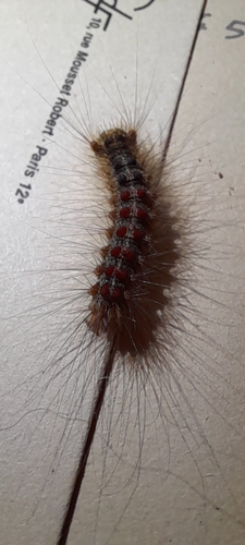
Research-grade observations from iNaturalist (within ~15 mi).
Events
Gallery
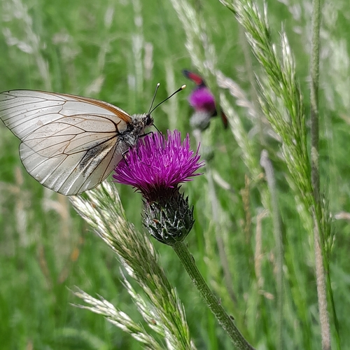
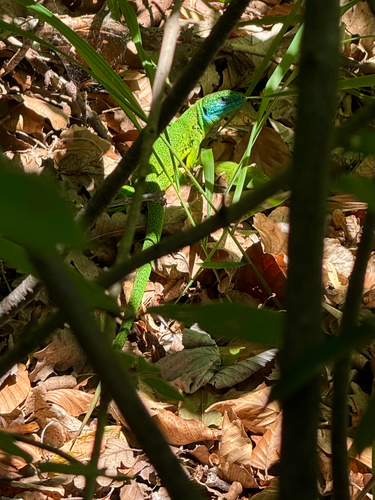
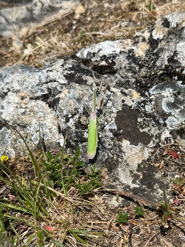
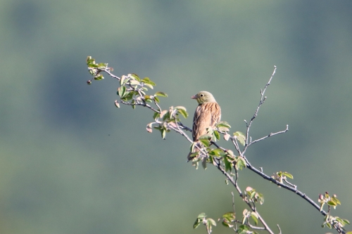
Geotagged photos within ~6 miles of Rochefourchat, from Wikimedia Commons contributors.


.jpg)
.jpg)
.jpg)
.jpg)
.jpg)
.jpg)
.jpg)
.jpg)
Photos via Wikimedia Commons — see each image page for license & attribution.
Official Identifiers
INSEE — French National Institute of Statistics
- INSEE code
- 26274
- Department
- 26
- Region
- 84
- Population (Wikidata)
- 2
geo.api.gouv.fr
Sources
- • Wikipedia
- • Open-Meteo (ERA5 reanalysis)
- • Wikimedia Commons
- • Wikidata
- • Open-Meteo Air Quality (CAMS)
- • USGS Earthquake Catalog (global feed)
- • GBIF (Global Biodiversity Information Facility)
- • iNaturalist
- • Open-Elevation
- • Open-Meteo / sunrise-sunset.org
- • Wikipedia Pageviews API
- • INSEE — French national statistics, via geo.api.gouv.fr (official commune code, population, surface, department, region)
- • INSEE — French National Institute of Statistics — geo.api.gouv.fr