Browse / France / Provence-Alpes-Côte d'Azur / Roquebrune-sur-Argens
Roquebrune-sur-Argens
Provence-Alpes-Côte d'Azurtown

Roquebrune-sur-Argens
Total population
14,448
Demographic figures from INSEE. Overview below cites Wikipedia and may reference a different year.
City facts
Facts from Wikidata (CC0).
Overview
Roquebrune-sur-Argens is a commune in the Var department in the Provence-Alpes-Côte d'Azur region, Southeastern France.
Read more on WikipediaHistory & geography
History
The recorded history of the oldest part of the town of Roquebrune-sur-Argens began around 983. Signs of human settlements, from the local "Bouverian culture", dating from Prehistory, were found in caves near La Bouverie.
Excerpted from the corresponding Wikipedia article (CC BY-SA).
Geography
Coordinates & boundaries from the US Census TIGER/Line shapefiles.
Climate
Air quality
Walkability
Amenities nearby
Wildlife & biodiversity
Earthquake history
Photos
Sights & places nearby
Notable people from here
Nearby places in Provence-Alpes-Côte d'Azur
- La Bouverie4 mi away
- Les Arcs8 mi away · pop. 7,580
- Trans-en-Provence8.6 mi away · pop. 6,285
- Le Plan-de-la-Tour8.6 mi away · pop. 3,055
- Les Esterets du Lac10.5 mi away
- Les Adrets-de-l'Estérel10.6 mi away · pop. 2,793
- Saint-Tropez11.8 mi away · pop. 3,578
- Fayence12.8 mi away · pop. 5,890
- Montferrat14 mi away · pop. 1,655
- Lorgues14.3 mi away · pop. 9,542
- Gassin15 mi away · pop. 2,655
- Le Cannet-des-Maures15.2 mi away · pop. 4,592
Geography & sun
Elevation, sunrise/sunset and daylight from Open-Meteo. Solar climatology from NASA POWER.
Nearby airports
Public attention
Pageview totals from the Wikimedia Pageviews API.
Books about this place
Recent natural events nearby
Ground air-quality sensors
Recently spotted species
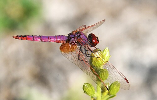
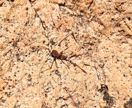
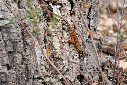
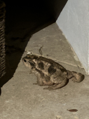
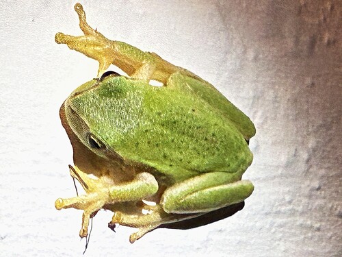

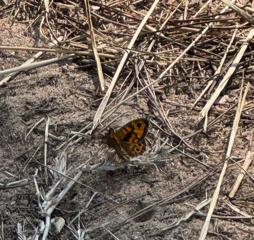
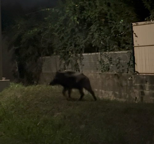
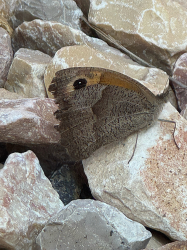
Research-grade observations from iNaturalist (within ~15 mi).
Events
Gallery
Official Identifiers
INSEE — French National Institute of Statistics
- INSEE code
- 83107
- Department
- 83
- Region
- 93
- Population (Wikidata)
- 15,442
geo.api.gouv.fr
Sources
- • Wikipedia
- • Wikidata
- • iNaturalist
- • Open-Meteo / sunrise-sunset.org
- • Wikipedia Pageviews API
- • Wikidata SPARQL (CC0) — population, area, elevation, inception, head of government, Commons image
- • INSEE — French national statistics, via geo.api.gouv.fr (official commune code, population, surface, department, region)
- • INSEE — French National Institute of Statistics — geo.api.gouv.fr