Browse / France / Provence-Alpes-Côte d'Azur / Sablet
Sablet
Provence-Alpes-Côte d'Azurvillage

Sablet
Total population
1,391
Demographic figures from INSEE. Overview below cites Wikipedia and may reference a different year.
City facts
Facts from Wikidata (CC0).
Overview
Sablet is a commune in the Vaucluse department in the Provence-Alpes-Côte d'Azur region in southeastern France.
Read more on WikipediaHistory & geography
History
Sablet has experienced many invasions and waves of migration over the centuries. Its history really begins however, in the 9th century when to guard against the invasion of the Saracens, the villagers built its first fortifications - les remparts. The remparts were again rebuilt during the 15th century, and more recently refurbished by the Companions of the Barrys - (les Compagnons du Barrys) - an active group of Sabletains dedicated to the preservation of the history of the Village. During the Middle Ages, Sablet was owned by the Holy See, and unlike many other villages in the area, it was never under the control of feudal lords - thus also unlike many other villages in the area, there is no castle (chateau). Its citizens have always earned their living working the rich land in this part of the Rhone Valley. At this time the church was the law making and the administrative entity in the area. In 1577 the village was taken by Calvinists and the Pope appointed a governor to oversee the village until the end of the religious war. The home of the Papal Vice Legate in the center of the village has undergone many changes of ownership, more recently being owned by the then village doctor who established it as a Hospice for during the 1950s until its more recent conversion back to a private home. In 1721 the Plague ravaged the area but Sablet remained untouched. The grateful villagers built the Chapel of St. Roch to the Saint whom they credited with having saved the village. It was placed under the parish of St. Nazaire with its twelfth-century church, which stands at the highest point of the village - the illuminated bell tower marking the position of Sablet in the surrounding countryside. Today, the Chapel of St. Roch is also a functioning church. The 15th-century…
Geography
Sablet is situated at the foot of the Dentelles de Montmirail in the Côtes du Rhône wine-producing region. It is located to the west of Mont Ventoux, in a transition zone between the Prealps and the Mediterranean. Sablet is very close to the larger towns of Vaison-la-Romaine to the north, Carpentras to the south and Orange to the west, with the much larger regional center of Avignon 30 minutes away.
Excerpted from the corresponding Wikipedia article (CC BY-SA).
Geography
Coordinates & boundaries from the US Census TIGER/Line shapefiles.
Climate
Air quality
Walkability
Amenities nearby
Wildlife & biodiversity
Earthquake history
Photos
Sights & places nearby
Notable people from here


People born within ~10 km, from Wikidata (CC0). Click any name for their Wikipedia article.
Nearby places in Provence-Alpes-Côte d'Azur
- Rasteau2.8 mi away · pop. 785
- Violès3.5 mi away · pop. 1,736
- Crestet4.2 mi away · pop. 422
- Vaison-la-Romaine4.8 mi away · pop. 5,929
- Le Barroux6 mi away · pop. 658
- Sérignan-du-Comtat8 mi away · pop. 2,866
- Modène8.5 mi away · pop. 464
- Uchaux10.2 mi away · pop. 1,688
- Monteux10.9 mi away · pop. 13,129
- Mazan11.2 mi away · pop. 6,269
- Bédarrides11.8 mi away · pop. 5,753
- Richerenches12.4 mi away · pop. 542
Geography & sun
Nearby airports
Public attention
Books about this place
Recent natural events nearby
Ground air-quality sensors
Recently spotted species
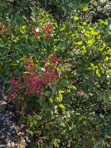
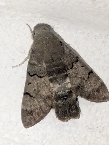
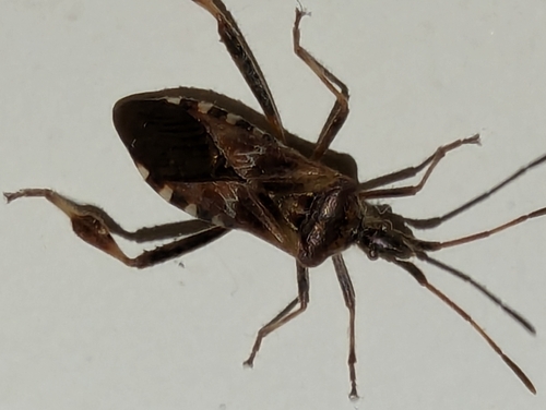
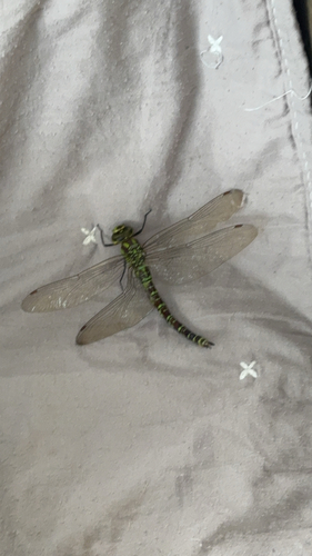
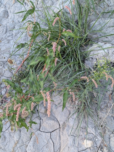
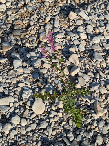
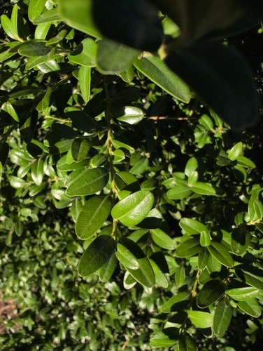

Research-grade observations from iNaturalist (within ~15 mi).
Events
Gallery
Official Identifiers
INSEE — French National Institute of Statistics
- INSEE code
- 84104
- Department
- 84
- Region
- 93
- Population (Wikidata)
- 1,436
geo.api.gouv.fr
Sources
- • Wikipedia
- • Wikidata
- • iNaturalist
- • INSEE — French national statistics, via geo.api.gouv.fr (official commune code, population, surface, department, region)
- • INSEE — French National Institute of Statistics — geo.api.gouv.fr