Browse / France / Centre-Val de Loire / Saint-Benoît-du-Sault
Saint-Benoît-du-Sault
Centre-Val de Loirevillage

Saint-Benoît-du-Sault
Total population
532
Demographic figures from INSEE. Overview below cites Wikipedia and may reference a different year.
City facts
Facts from Wikidata (CC0).
Overview
Saint-Benoît-du-Sault is a commune in the Indre department in central France.
Read more on WikipediaHistory & geography
History
Located in the area of Gaul settled by a powerful Celtic tribe, the Bituriges, "Kings of the World" (summa penes imperii bituriges), powerful until their defeat against Julius Caesar at Bourges (Avaricum), part of Roman Aquitania. Two dolmens (Passebonneau and des Gorces) near to Saint-Benoît-du-Sault attest to the ancientness of human presence, if not of the Bituriges. Ten centuries later, in 974, some benedictine monks of Sacierges-Saint-Martin took refuge on a granite spur, where they founded a priory: Salis, future Saint-Benoît-du-Sault. From the 10th to the 17th century, the history of the priory and the new village is made up of resistance to the possessive desires of feudal neighbours, such as the Limoges and de Brosse family. The town was surrounded by a double line of ramparts. The first, the most ancient, protected the priory, the church and the fort, the second established in the 15th century, encircled the commercial part. Its maze of narrow cobbled streets remains popular with sightseers.
Excerpted from the corresponding Wikipedia article (CC BY-SA).
Geography
Coordinates & boundaries from the US Census TIGER/Line shapefiles.
Climate
Air quality
Walkability
Amenities nearby
Wildlife & biodiversity
Earthquake history
Photos
Sights & places nearby
Notable people from here


People born within ~10 km, from Wikidata (CC0). Click any name for their Wikipedia article.
Geography & sun
Nearby airports
Public attention
Books about this place
Recent natural events nearby
Ground air-quality sensors
Recently spotted species
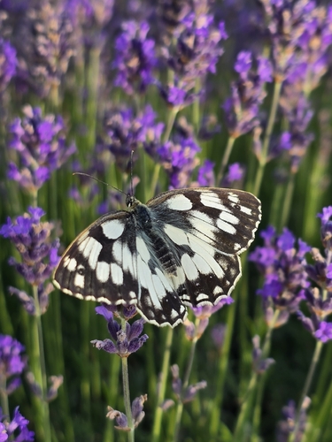
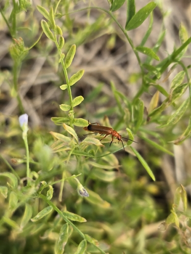
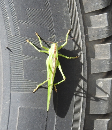
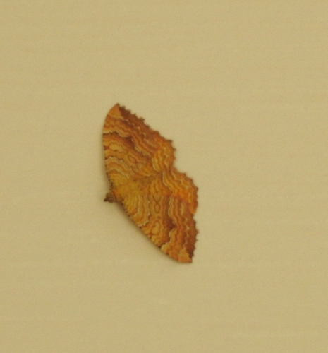
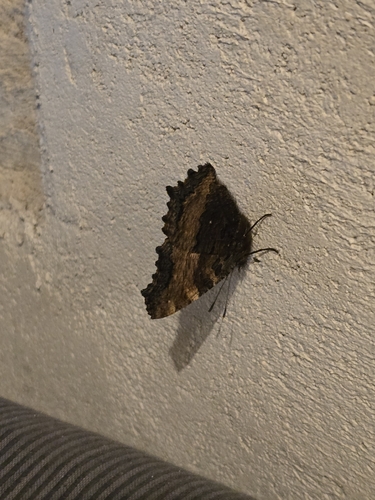
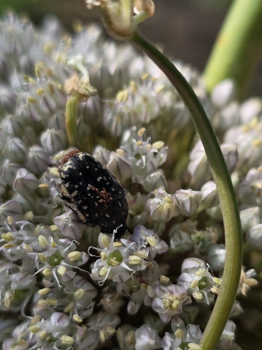
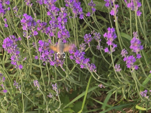
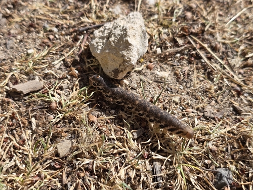
Research-grade observations from iNaturalist (within ~15 mi).
Events
Gallery
Official Identifiers
INSEE — French National Institute of Statistics
- INSEE code
- 36182
- Department
- 36
- Region
- 24
- Population (Wikidata)
- 510
geo.api.gouv.fr
Sources
- • Wikipedia
- • Wikidata
- • iNaturalist
- • INSEE — French national statistics, via geo.api.gouv.fr (official commune code, population, surface, department, region)
- • INSEE — French National Institute of Statistics — geo.api.gouv.fr