Browse / France / Auvergne-Rhône-Alpes / Saint-Chef
Saint-Chef
Auvergne-Rhône-Alpesvillage

Saint-Chef
Total population
3,795
Demographic figures from INSEE. Overview below cites Wikipedia and may reference a different year.
City facts
Facts from Wikidata (CC0).
Overview
Saint-Chef is a commune in the Isère department in southeastern France.
Read more on WikipediaHistory & geography
History
The abbey Saint-Chef develops over time. The abbey church dates from the 10th and 11th centuries. A first castle is built on the north hill. It will be followed by two others, later, still on the same hill but further west. After the French Revolution, the abbey was dismantled and its buildings re-used for the most part, or destroyed for some others. Between 1790 and 1794, Saint-Chef absorbed the communes of Arcisses, Chamont, Crucilleux, Laval-de-Saint-Chef, Montcarra, Trieux and Vercin. The current mayor is Alexandre Drogoz who replaced Noël Rolland in 2020. This abbey was founded around the year 500. The 12th and 13th century Saint-Theudère church, with its flamboyant Gothic portal and its organ, was listed as a historic monument in 1840 by Prosper Mérimée. The main building houses one of the most important sets of Romanesque frescoes in France dating from the twelfth century, on the theme of the Apocalypse, also classified as a historic monument. The historical and artistic interest of its frescoes has earned them reproductions in the Cité de l'Architecture et du Patrimoine of Paris. Saint-Chef Vue Generale.jpg|Vue générale de l'abbatiale. St Chef Abbatiale Façade Ouest.JPG|La façade ouest. St Chef Abbatiale Clocher.JPG|Le clocher. St Chef Abbatiale Chapelle des Anges Mur Sud Les Vieillards de l'Apocalypse.JPG|Fresque : les Vieillards de l'Apocalypse. St Chef Abbatiale Chapelle des Anges Voûte.JPG|Fresque : le Christ en majesté. St Chef Abbatiale Chapelle des Anges Mur Sud Les Apôtres.JPG|Fresque : les apôtres. Located three kilometers from the main body of the village, in the hamlet of Chamont, this church was erected in 1879. In 1982, it became disused but, in 2001, an association close to the Lyon priory of the Priestly Fraternity of Saint-Pie-X bought…
Excerpted from the corresponding Wikipedia article (CC BY-SA).
Geography
Coordinates & boundaries from the US Census TIGER/Line shapefiles.
Climate
Air quality
Walkability
Amenities nearby
Wildlife & biodiversity
Most-observed species
- Great TitParus major Linnaeus, 1758 · Aves1,203
- Eurasian BlackbirdTurdus merula Linnaeus, 1758 · Aves1,058
- European RobinErithacus rubecula (Linnaeus, 1758) · Aves964
- Eurasian Blue TitCyanistes caeruleus (Linnaeus, 1758) · Aves959
- Common ChaffinchFringilla coelebs Linnaeus, 1758 · Aves888
- House SparrowPasser domesticus (Linnaeus, 1758) · Aves883
- Eurasian Collared-DoveStreptopelia decaocto (Frivaldszky, 1838) · Aves662
- European GoldfinchCarduelis carduelis (Linnaeus, 1758) · Aves572
Citizen-science & research observations from the Global Biodiversity Information Facility (GBIF).
Earthquake history
Most recent
- M 3.3 — 2025-05-068 km W of Chapareillan, France
- M 4.5 — 2022-03-123 km S of Faverges, France
- M 3.2 — 2017-11-1710 km NNE of Saint-Rémy-de-Maurienne, France
- M 3.4 — 2013-04-061 km SSW of Poisy, France
- M 4.3 — 2010-06-303 km NW of Saint-Martin-de-Belleville, France
- M 2.8 — 2008-12-304 km NW of Aime, France
Events from the USGS Earthquake Catalog (global) (FDSN Event Web Service).
Photos
Sights & places nearby
Notable people from here


People born within ~10 km, from Wikidata (CC0). Click any name for their Wikipedia article.
Geography & sun
Elevation, sunrise/sunset and daylight from Open-Meteo. Solar climatology from NASA POWER.
Nearby airports
Public attention
Pageview totals from the Wikimedia Pageviews API.
Books about this place
Recent natural events nearby
Ground air-quality sensors
Recently spotted species
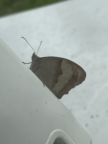
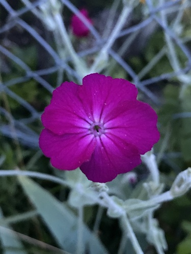
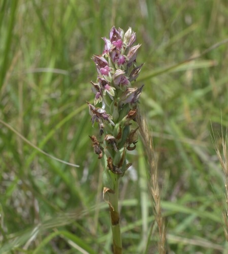
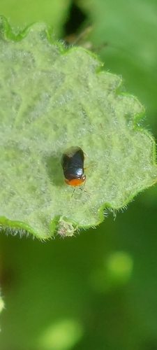

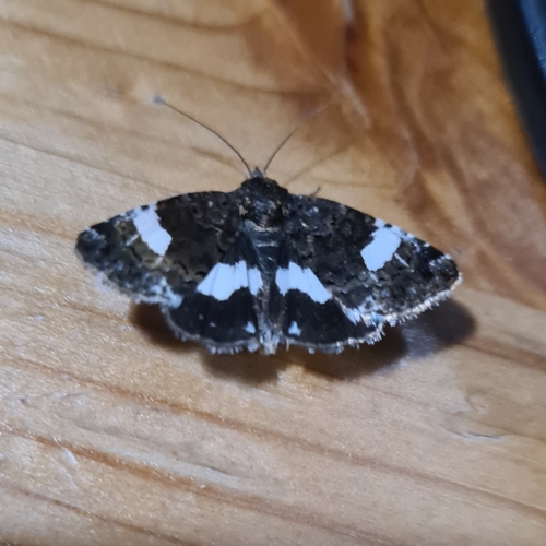
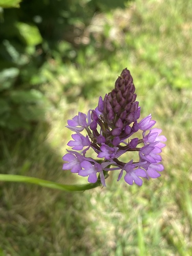
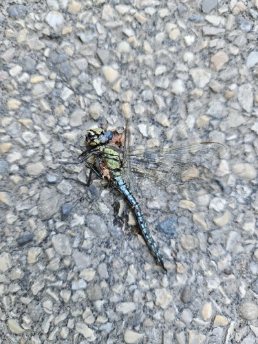
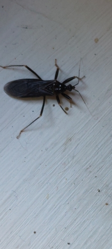
Research-grade observations from iNaturalist (within ~15 mi).
Events
Gallery
Geotagged photos within ~6 miles of Saint-Chef, from Wikimedia Commons contributors.
 0 mi
0 mi 0 mi
0 mi 0 mi
0 mi 0 mi
0 mi 0 mi
0 mi 0 mi
0 mi 0 mi
0 mi.JPG) 0 mi
0 mi 0.1 mi
 0.1 mi
 0.1 mi
 0.1 mi
 0.1 mi
 0.1 mi
 0.1 mi
 0.1 mi
 0.1 mi
 0.1 mi
.jpg) 0.1 mi
0.1 mi.jpg) 0.1 mi
0.1 mi 0.1 mi
 0.1 mi
 0.1 mi
.jpg) 0.1 mi
0.1 miPhotos via Wikimedia Commons — see each image page for license & attribution.
Official Identifiers
INSEE — French National Institute of Statistics
- INSEE code
- 38374
- Department
- 38
- Region
- 84
- Population (Wikidata)
- 3,921
geo.api.gouv.fr
Sources
- • Wikipedia
- • Wikimedia Commons
- • Wikidata
- • USGS Earthquake Catalog (global feed)
- • GBIF (Global Biodiversity Information Facility)
- • iNaturalist
- • Open-Meteo / sunrise-sunset.org
- • Wikipedia Pageviews API
- • INSEE — French national statistics, via geo.api.gouv.fr (official commune code, population, surface, department, region)
- • INSEE — French National Institute of Statistics — geo.api.gouv.fr