Browse / France / Auvergne-Rhône-Alpes / Saint-Étienne
Saint-Étienne
Auvergne-Rhône-Alpescity

Saint-Étienne
Total population
172,718
Demographic figures from INSEE. Overview below cites Wikipedia and may reference a different year.
City facts
Sister cities
Facts from Wikidata (CC0).
Overview
Saint-Étienne, also written St. Etienne, is a city and the prefecture of the Loire département, in eastern-central France, in the Massif Central, 60 km (37 mi) southwest of Lyon, in the Auvergne-Rhône-Alpes region.
Read more on WikipediaHistory & geography
History
Named after Saint Stephen, the city first appears in the historical record in the Middle Ages as (after the River Furan, a tributary of the Loire). At the close of the 12th century St Étienne was a parish of the Pays de Gier belonging to the abbey of Valbenoîte. In the 13th century, it was a small borough around the church dedicated to Saint Stephen. On the upper reaches of the Furan, near the Way of St. James, the Abbey of Valbenoîte had been founded by the Cistercians in 1222. At the beginning of the 15th century Charles VII permitted the town to erect fortifications. In the first half of the 19th century, it was only a chief town of an arrondissement in the ' of the Loire, with a population of 33,064 in 1832. The concentration of industry prompted these numbers to rise rapidly to 110,000 by about 1880. It was this growing importance of Saint-Étienne that led to its being made seat of the prefecture and the departmental administration on 25 July 1855, when it became the chief town in the ' and seat of the prefect, replacing Montbrison, which was reduced to the status of chief town of an . Saint-Étienne absorbed the commune of Valbenoîte and several other neighbouring localities on 31 March 1855. During the repression of January and February 1894, the police conducted raids targeting the anarchists living there, without much success.
Excerpted from the corresponding Wikipedia article (CC BY-SA).
Geography
Coordinates & boundaries from the US Census TIGER/Line shapefiles.
Climate
10-year averages from ERA5 reanalysis (Open-Meteo).
Air quality
Walkability
Amenities nearby
Wildlife & biodiversity
Most-observed species
- Great TitParus major Linnaeus, 1758 · Aves1,501
- Eurasian BlackbirdTurdus merula Linnaeus, 1758 · Aves1,500
- Eurasian Blue TitCyanistes caeruleus (Linnaeus, 1758) · Aves1,233
- European RobinErithacus rubecula (Linnaeus, 1758) · Aves1,131
- Common ChaffinchFringilla coelebs Linnaeus, 1758 · Aves1,068
- House SparrowPasser domesticus (Linnaeus, 1758) · Aves801
- European GoldfinchCarduelis carduelis (Linnaeus, 1758) · Aves799
- Eurasian MagpiePica pica (Linnaeus, 1758) · Aves777
Citizen-science & research observations from the Global Biodiversity Information Facility (GBIF).
Earthquake history
Most recent
- M 4.8 — 2019-11-115 km WNW of Rochemaure, France
- M 2.7 — 2008-08-187 km W of Langeac, France
- M 2.7 — 2008-08-187 km W of Langeac, France
- M 2.8 — 2008-05-046 km NE of Brioude, France
- M 2.6 — 2008-01-247 km S of Le Cheylard, France
- M 2.5 — 2008-01-224 km NW of Cruas, France
Events from the USGS Earthquake Catalog (global) (FDSN Event Web Service).
Photos
Sights & places nearby
Notable people from here


People born within ~10 km, from Wikidata (CC0). Click any name for their Wikipedia article.
Nearby places in Auvergne-Rhône-Alpes
- Saint-Genest-Lerpt2.5 mi away · pop. 6,183
- Saint-Jean-Bonnefonds2.9 mi away · pop. 6,563
- Fraisses6.9 mi away · pop. 3,779
- Saint-Paul-en-Jarez9.5 mi away · pop. 4,771
- Saint-Galmier10.9 mi away · pop. 5,842
- Saint-Martin-la-Plaine12.4 mi away · pop. 3,784
- Saint-Symphorien-sur-Coise13.6 mi away · pop. 3,712
- Chazelles-sur-Lyon13.6 mi away · pop. 5,472
- Dunières15.7 mi away · pop. 2,631
- Vanosc16.9 mi away · pop. 959
- Villevocance17.8 mi away · pop. 1,182
- Le Monestier18.1 mi away · pop. 61
Geography & sun
Elevation, sunrise/sunset and daylight from Open-Meteo. Solar climatology from NASA POWER.
Nearby airports
Public attention
Pageview totals from the Wikimedia Pageviews API.
Books about this place
Recent natural events nearby
Ground air-quality sensors
Recently spotted species
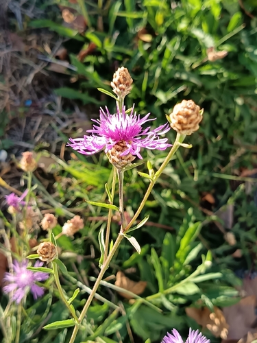
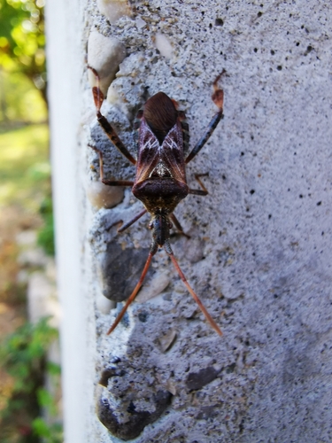
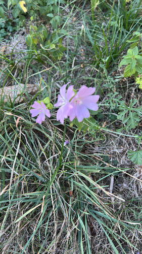

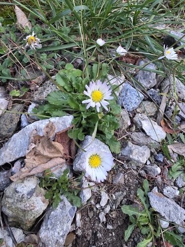
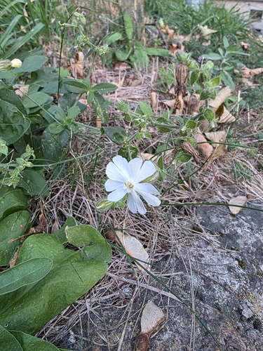
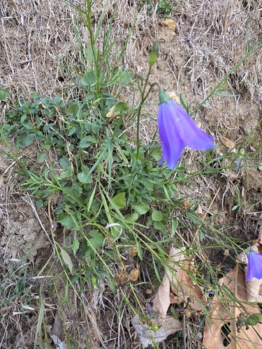
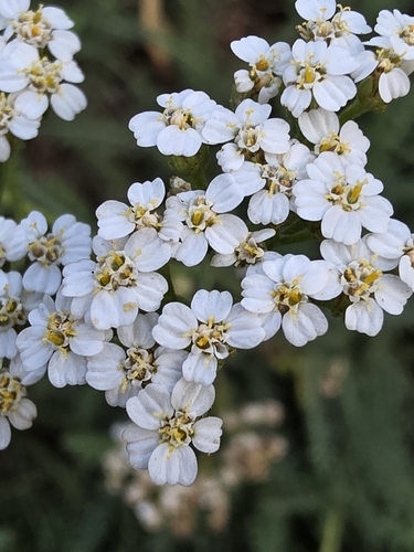
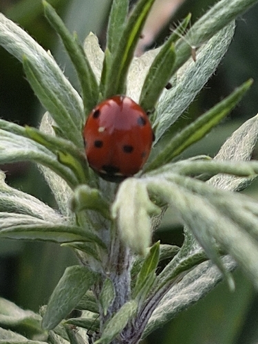
Research-grade observations from iNaturalist (within ~15 mi).
Events
Notable, recurring, and historical events associated with Saint-Étienne, sourced from Wikidata.
- Forum des archivistes 2019Apr 3, 2019recurring event edition
Source: Wikidata (CC0).
Gallery
Geotagged photos within ~6 miles of Saint-Étienne, from Wikimedia Commons contributors.


_01.jpg)
_02.jpg)
_03.jpg)
_01.jpg)
_02.jpg)

Photos via Wikimedia Commons — see each image page for license & attribution.
Official Identifiers
INSEE — French National Institute of Statistics
- INSEE code
- 42218
- Department
- 42
- Region
- 84
- Population (Wikidata)
- 173,136
geo.api.gouv.fr
Sources
- • Wikipedia
- • Open-Meteo (ERA5 reanalysis)
- • Wikimedia Commons
- • Wikidata
- • USGS Earthquake Catalog (global feed)
- • GBIF (Global Biodiversity Information Facility)
- • iNaturalist
- • Open-Elevation
- • Open-Meteo / sunrise-sunset.org
- • Wikipedia Pageviews API
- • Wikidata SPARQL (CC0) — population, area, elevation, inception, head of government, Commons image
- • INSEE — French national statistics, via geo.api.gouv.fr (official commune code, population, surface, department, region)
- • INSEE — French National Institute of Statistics — geo.api.gouv.fr