Browse / France / Provence-Alpes-Côte d'Azur / Saint-Jean-Cap-Ferrat
Saint-Jean-Cap-Ferrat
Provence-Alpes-Côte d'Azurvillage

Saint-Jean-Cap-Ferrat
Total population
1,471
Demographic figures from INSEE. Overview below cites Wikipedia and may reference a different year.
City facts
Facts from Wikidata (CC0).
Overview
Saint-Jean-Cap-Ferrat is a resort town and commune in the Alpes-Maritimes department in the Provence-Alpes-Côte d'Azur region in Southeastern France. In 2012, Cap Ferrat was named the second most expensive residential location in the world, after Monaco, earning it the nickname 'Billionaires' Peninsula'.
Read more on WikipediaHistory & geography
History
Saint Jean Cap Ferrat was known to the ancient Greeks as Anao. The site of present-day Cap Ferrat was first settled by Celto-Ligurian tribes, then by the Lombards at the end of the 6th century. Sant Ospizio (or Saint Hospice), a hermit friar, is said to have inhabited a tower on the Eastern part of the peninsula. Saint-Jean-Cap-Ferrat had once been known as Cap-Saint-Sospir after a sixth-century monk who had lived in the area. In the 8th century, the history of Saint Jean Cap Ferrat changed when the Saracens occupied the site and used it as a base for pirating until the 11th century. By 1388, the territory of Saint Jean Cap Ferrat with the entire County of Nice was given by treaty to the Dukes of Savoy (see also History of Villefranche-sur-Mer). The history of Saint Jean Cap Ferrat tells that Duke Emmanuel Philibert of Savoy built a fort at Saint-Hospice in 1561 in an effort to secure the coastline from invaders. The fort was destroyed in 1706 by the Duke of Berwick when Nice was occupied by the French armies of King Louis XIV. During the 18th century, the history of Saint Jean Cap Ferrat changed when the area - officially part of the Kingdom of Sardinia - was occupied off and on by the French. It was returned to the Kingdom of Sardinia in 1814 after Napoleon's abdication. In 1860, the County of Nice was finally ceded by treaty to France and the peninsula became a magnet for kings and wealthy visitors, a new era in the history of Saint Jean Cap Ferrat. The small fishing village of Saint Jean developed and by 1904 was established as a self-standing commune with the rest of the peninsula, separated from nearby Villefranche-sur-Mer. At the beginning of the 20th century, King Léopold II of Belgium owned an estate on Cap Ferrat and built several houses and an…
Excerpted from the corresponding Wikipedia article (CC BY-SA).
Geography
Coordinates & boundaries from the US Census TIGER/Line shapefiles.
Climate
Air quality
Walkability
Amenities nearby
Wildlife & biodiversity
Most-observed species
- Yellow-legged GullLarus michahellis J.F.Naumann, 1840 · Aves2,776
- Eurasian BlackbirdTurdus merula Linnaeus, 1758 · Aves2,432
- Eurasian BlackcapSylvia atricapilla (Linnaeus, 1758) · Aves2,428
- Eurasian Collared-DoveStreptopelia decaocto (Frivaldszky, 1838) · Aves2,416
- European RobinErithacus rubecula (Linnaeus, 1758) · Aves2,393
- Eurasian MagpiePica pica (Linnaeus, 1758) · Aves2,049
- Rock PigeonColumba livia J.F.Gmelin, 1789 · Aves1,817
- Japanese CheesewoodPittosporum tobira (Murray) Aiton fil. · Magnoliopsida1,775
Citizen-science & research observations from the Global Biodiversity Information Facility (GBIF).
Earthquake history
Most recent
- M 2.5 — 2025-03-201 km WSW of Cantaron, France
- M 3.1 — 2025-03-181 km ESE of Tourrette-Levens, France
- M 3.3 — 2025-03-182 km N of Berre-les-Alpes, France
- M 3.9 — 2024-12-098 km WNW of Acceglio, Italy
- M 4.1 — 2024-09-1462 km SE of Ramatuelle, France
- M 4.1 — 2023-11-2110 km WSW of Acceglio, Italy
Events from the USGS Earthquake Catalog (global) (FDSN Event Web Service).
Photos
Sights & places nearby
Notable people from here


People born within ~10 km, from Wikidata (CC0). Click any name for their Wikipedia article.
Nearby places in Provence-Alpes-Côte d'Azur
- Cantaron5 mi away · pop. 1,285
- La Turbie5.1 mi away · pop. 3,015
- Peillon6.6 mi away · pop. 1,445
- Châteauneuf-Villevieille8.4 mi away · pop. 971
- Sainte-Agnès10 mi away · pop. 1,351
- Bendejun10.2 mi away · pop. 950
- Touët-de-l'Escarène11 mi away · pop. 306
- Pierre-Feu11.7 mi away
- Plan-du-Var13.3 mi away · pop. 200
- Lucéram13.5 mi away · pop. 1,264
- Utelle16.2 mi away · pop. 844
- Saint-Jean la Rivière16.2 mi away
Geography & sun
Elevation, sunrise/sunset and daylight from Open-Meteo. Solar climatology from NASA POWER.
Nearby airports
Public attention
Pageview totals from the Wikimedia Pageviews API.
Books about this place
Recent natural events nearby
Ground air-quality sensors
Recently spotted species
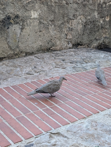

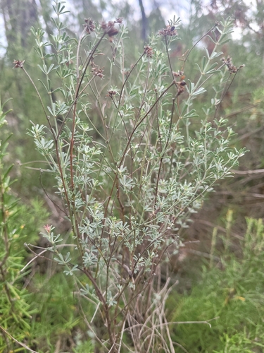
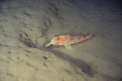
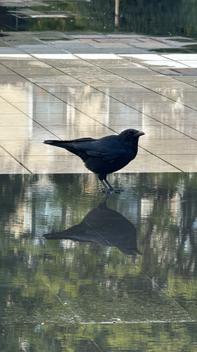
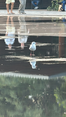
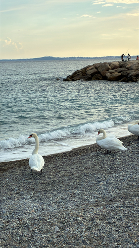
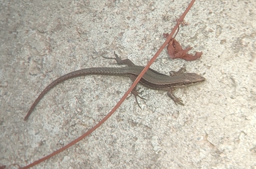
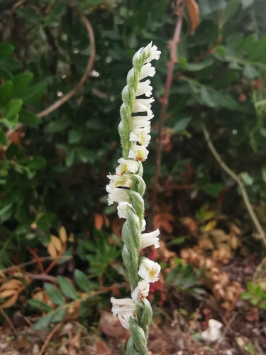
Research-grade observations from iNaturalist (within ~15 mi).
Events
Gallery
Official Identifiers
INSEE — French National Institute of Statistics
- INSEE code
- 06121
- Department
- 06
- Region
- 93
- Population (Wikidata)
- 1,531
geo.api.gouv.fr
Sources
- • Wikipedia
- • Wikidata
- • USGS Earthquake Catalog (global feed)
- • GBIF (Global Biodiversity Information Facility)
- • iNaturalist
- • Open-Meteo / sunrise-sunset.org
- • Wikipedia Pageviews API
- • INSEE — French national statistics, via geo.api.gouv.fr (official commune code, population, surface, department, region)
- • INSEE — French National Institute of Statistics — geo.api.gouv.fr