Browse / France / Pays de la Loire / Saint-Nazaire
Saint-Nazaire
Pays de la Loiretown

Saint-Nazaire
Total population
72,057
Demographic figures from INSEE. Overview below cites Wikipedia and may reference a different year.
City facts
Facts from Wikidata (CC0).
Overview
Saint-Nazaire is a port town and commune in the Loire-Atlantique department in western France, in traditional Brittany.
Read more on WikipediaHistory & geography
History
Archaeologists believe that Saint-Nazaire is built upon the remnants of Corbilo, an Armorican Gaulish city populated by the Namnetes tribe, which (according to the Greek navigator Pytheas) was the second-largest Gaulish city, after Massilia (now Marseille). Archeology suggests that the area has been inhabited since at least the Neolithic period, as evidenced by the presence of monuments like the tumulus of Dissignac, the dolmen located in the centre of the present-day city, and ancient bronzes found in the vicinity. According to the 15th-century chronicler Alain Bouchart, Brutus of Troy, the mythical ancestor of the Bretons, travelled to Saint-Nazaire to set foot upon the new homeland of his people. Historical accounts note that at the end of the Roman Empire, some Britons colonized the Loire estuary and later the peninsula containing Guérande. The farthest extent of the Breton language in the Loire region is Donges, to the east of Saint-Nazaire. According to the late-6th-century writer Gregory of Tours, the Roman Church sheltered the remains of the martyr Nazarius in a local basilica. According to legend, the Breton chief Waroch II sent an emissary to seize these relics. The plot was foiled when the emissary fractured his skull upon the lintel of the church door. Waroch, interpreting this as a miracle, was deterred and the village thenceforth took the name of Sanctus Nazarius de Sinuario. After this point, the history of Saint-Nazaire, like much of Europe during the Dark Ages, is not well documented. Battles occurred, such as in 1380 when Jehan d'Ust defended the city in the name of John V, Duke of Brittany (known in France as Jean IV) against the Castilian fleet during the Hundred Years' War. After this time, Saint-Nazaire became the seat of a parish extending…
Geography
The town of Saint-Nazaire is located on the north bank of the Loire estuary (its territory includes the tip of Chémoulin which marks the end of the estuary), 50 km west of Nantes. It is near the marshes of Brière, an important regional natural park with many animal and plant species, the second largest wetland in France after the Camargue. According to INSEE, Saint-Nazaire is the commune-center of an urban unit (commonly: agglomeration) which counted 186,760 inhabitants in 2018, gathering 17 communes of the Loire estuary. This unit is the urban center of the urban area of Saint-Nazaire (24 communes), which had 213,675 inhabitants in 2018 and extending over Brière and almost all of the Guérande peninsula. The eastern part of the town is on the alluvial terrain between the Brière and the Loire estuary. The western part, more extensive, corresponds to the extension of the hillside of Guérande: the relief is hilly and of higher altitude, where one finds a granite and metamorphic base. Geologically, Saint-Nazaire is located in the Armorican massif.
Excerpted from the corresponding Wikipedia article (CC BY-SA).
Geography
Coordinates & boundaries from the US Census TIGER/Line shapefiles.
Climate
Air quality
Walkability
Amenities nearby
Wildlife & biodiversity
Earthquake history
Photos
Sights & places nearby
Notable people from here


People born within ~10 km, from Wikidata (CC0). Click any name for their Wikipedia article.
Geography & sun
Nearby airports
Public attention
Books about this place
Recent natural events nearby
Ground air-quality sensors
Recently spotted species
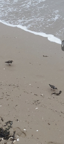
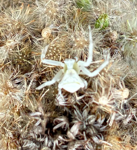
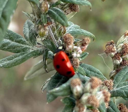
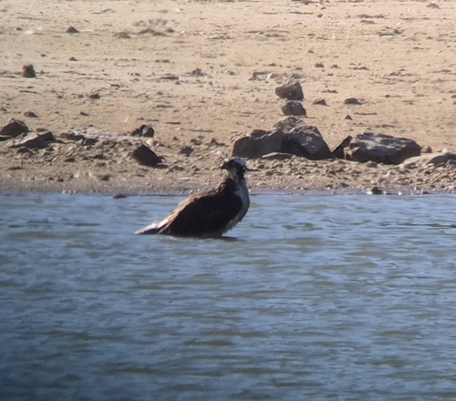
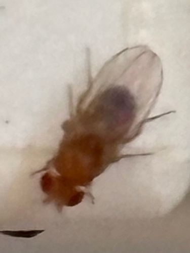
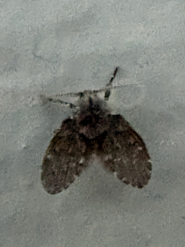
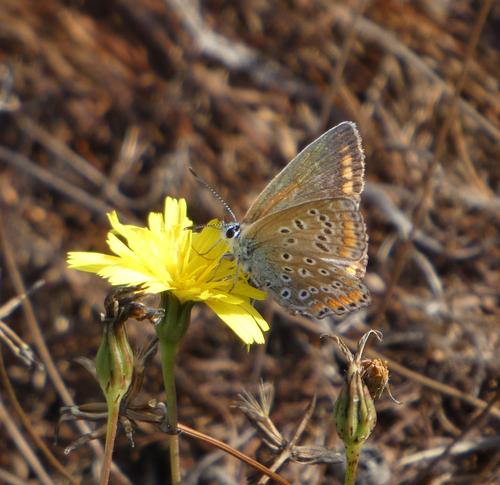
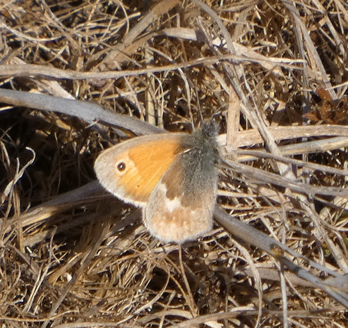
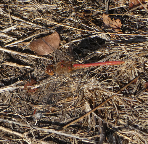
Research-grade observations from iNaturalist (within ~15 mi).
Events
Gallery
Official Identifiers
INSEE — French National Institute of Statistics
- INSEE code
- 44184
- Department
- 44
- Region
- 52
- Population (Wikidata)
- 74,568
geo.api.gouv.fr
Sources
- • Wikipedia
- • Wikidata
- • iNaturalist
- • Wikidata SPARQL (CC0) — population, area, elevation, inception, head of government, Commons image
- • INSEE — French national statistics, via geo.api.gouv.fr (official commune code, population, surface, department, region)
- • INSEE — French National Institute of Statistics — geo.api.gouv.fr