Browse / France / Occitanie / Saint-Nicolas-de-la-Grave
Saint-Nicolas-de-la-Grave
Occitanievillage

Saint-Nicolas-de-la-Grave
Total population
2,293
Air quality index
Demographic figures from INSEE. Overview below cites Wikipedia and may reference a different year.
City facts
Facts from Wikidata (CC0).
Overview
Saint-Nicolas-de-la-Grave is a commune in the Tarn-et-Garonne department in the Occitanie region in southern France. Antoine de la Mothe, sieur de Cadillac, the founder of the American city of Detroit was born here in 1658.
Read more on WikipediaHistory & geography
History
The surroundings of Saint-Nicolas-de-la-Grave have been occupied since Roman times; the ruins of a villa were found near a place called Marcassus, 2.9 km by road on the left bank of the Sère (Stream) and a capital Corinthian order in white marble was discovered at a place called es Arênes. Fragments of tile, pottery and amphorae were found to the west of the village and at a place called les Patots, a very old path was an old Roman road. In the 12th century, the monks of Moissac built a castle on the left bank of the Garonne, facing the confluence of the Tarn, on the edge of the plateau which dominates the alluvial plain. Because the town is a strategic crossroads, it is disputed by the viscounts of Lomagne. Around the castle, an agglomeration develops little by little, with a port at the base of the castle. In 1135, Guillaume, Abbot of Moissac joins the viscount Saxetus de Lomagne and the viscountess Sybille d'Auvillar to grant a charter to this village which becomes the "sauveté" of Saint Nicolas (a sauveté is an agglomeration founded by the monasteries prior to the movement of creation of the bastides): the inhabitants are free within the enclosure from the city. In an additional act to the charter, the Viscount of Lomagne swears to the monks and inhabitants of Saint-Nicolas never to take away their city or their castle and to protect them against invaders. Around 1185, during his victorious campaign in Quercy during which he conquered sixteen castles, the king of England, Richard Cœur-de-Lion stayed at the castle and had the front tower, known as the Tour des Anglais, built there. Abbot Bernard de Montaigu, who held the abbey chair of Moissac from 1260 to 1295, built the west wing of the castle and its two four-meter towers with heights of 25 and 28 metres.…
Excerpted from the corresponding Wikipedia article (CC BY-SA).
Geography
Coordinates & boundaries from the US Census TIGER/Line shapefiles.
Climate
Air quality
Current readings from Open-Meteo Air Quality API (Copernicus CAMS European reanalysis).
Walkability
Amenities nearby
Wildlife & biodiversity
Most-observed species
- Eurasian BlackbirdTurdus merula Linnaeus, 1758 · Aves656
- Common Wood-PigeonColumba palumbus Linnaeus, 1758 · Aves639
- Great TitParus major Linnaeus, 1758 · Aves587
- Carrion CrowCorvus corone Linnaeus, 1758 · Aves554
- European RobinErithacus rubecula (Linnaeus, 1758) · Aves543
- Gray/Purple HeronArdea cinerea Linnaeus, 1758 · Aves509
- MallardAnas platyrhynchos Linnaeus, 1758 · Aves498
- Common ChaffinchFringilla coelebs Linnaeus, 1758 · Aves471
Citizen-science & research observations from the Global Biodiversity Information Facility (GBIF).
Earthquake history
Most recent
- M 2.5 — 2002-06-124 km SSW of Le Sequestre, France
- M 3.3 — 2001-09-214 km NNE of Portet-sur-Garonne, France
Events from the USGS Earthquake Catalog (global) (FDSN Event Web Service).
Photos
Sights & places nearby
Notable people from here


People born within ~10 km, from Wikidata (CC0). Click any name for their Wikipedia article.
Nearby places in Occitanie
- Drudas21.7 mi away · pop. 198
- Castelnau-d'Estrétefonds25.7 mi away · pop. 6,814
- Caussade26.3 mi away · pop. 6,804
- Montdurausse28.3 mi away · pop. 410
- Bruguières30.2 mi away · pop. 5,957
- Aussonne30.2 mi away · pop. 7,465
- Puy-l'Évêque30.9 mi away · pop. 1,900
- Prayssac31.8 mi away · pop. 2,460
- Saint-Alban32.2 mi away · pop. 6,454
- Fenouillet32.3 mi away · pop. 5,595
- Fonbeauzard33.4 mi away · pop. 2,968
- Larroque33.4 mi away · pop. 155
Geography & sun
Elevation, sunrise/sunset and daylight from Open-Meteo. Solar climatology from NASA POWER.
Nearby airports
Public attention
Pageview totals from the Wikimedia Pageviews API.
Books about this place
Recent natural events nearby
Ground air-quality sensors
Recently spotted species
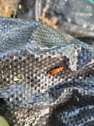
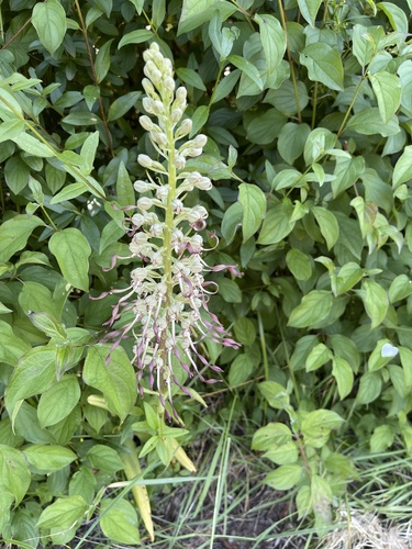
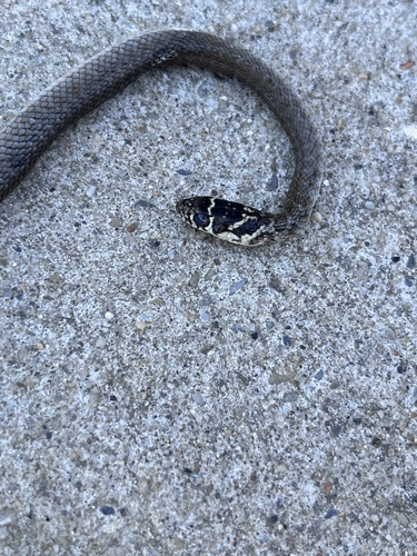
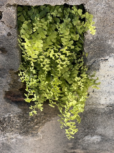
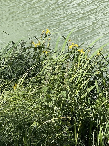
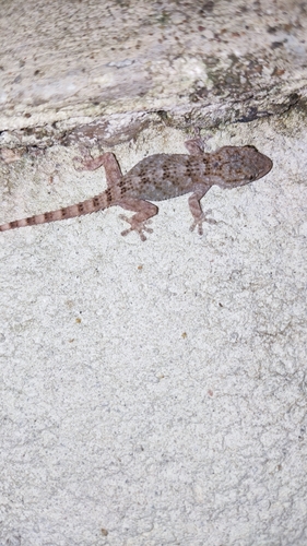
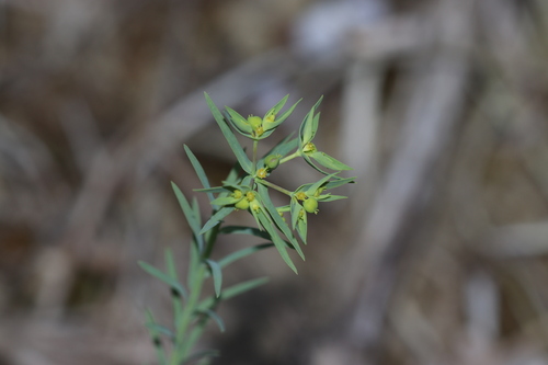
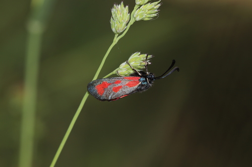
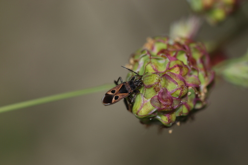
Research-grade observations from iNaturalist (within ~15 mi).
Events
Gallery
Geotagged photos within ~6 miles of Saint-Nicolas-de-la-Grave, from Wikimedia Commons contributors.
 0 mi
0 mi 0 mi
0 mi 0 mi
0 mi 0 mi
0 mi 0 mi
0 mi 0 mi
0 mi 2.1 mi
 2.1 mi
 2.1 mi
.jpeg) 2.1 mi
2.1 mi 2.1 mi
 2.1 mi
 2.1 mi
 2.3 mi
 2.3 mi
 2.6 mi
 2.6 mi
 2.6 mi
 2.6 mi
 2.6 mi
 2.6 mi
 2.6 mi
 2.6 mi
 2.6 mi
Photos via Wikimedia Commons — see each image page for license & attribution.
Official Identifiers
INSEE — French National Institute of Statistics
- INSEE code
- 82169
- Department
- 82
- Region
- 76
- Population (Wikidata)
- 2,281
geo.api.gouv.fr
Sources
- • Wikipedia
- • Wikimedia Commons
- • Wikidata
- • Open-Meteo Air Quality (CAMS)
- • USGS Earthquake Catalog (global feed)
- • GBIF (Global Biodiversity Information Facility)
- • iNaturalist
- • Open-Meteo / sunrise-sunset.org
- • Wikipedia Pageviews API
- • INSEE — French national statistics, via geo.api.gouv.fr (official commune code, population, surface, department, region)
- • INSEE — French National Institute of Statistics — geo.api.gouv.fr