Browse / France / Hauts-de-France / Saint-Omer
Saint-Omer
Hauts-de-Francetown

Saint-Omer
Total population
14,661
Air quality index
Demographic figures from INSEE. Overview below cites Wikipedia and may reference a different year.
City facts
Facts from Wikidata (CC0).
Overview
Saint-Omer is a commune and sub-prefecture of the Pas-de-Calais department in France.
Read more on WikipediaHistory & geography
History
Saint-Omer first appeared in the writings during the 7th century under the name of Sithiu (Sithieu or Sitdiu), around the Saint-Bertin abbey founded on the initiative of Audomar (Odemaars or Omer). Omer, bishop of Thérouanne, in the 7th century established the Abbey of Saint Bertin, from which that of Notre-Dame was an offshoot. Rivalry and dissension, which lasted till the French Revolution, soon sprang up between the two monasteries, becoming especially virulent when in 1559 Saint-Omer became a bishopric and Notre-Dame was raised to the rank of cathedral. In the 9th century, the village that grew up round the monasteries took the name of Saint-Omer. The Vikings laid the place to waste about 860 and 880. Ten years later the town and monastery had built fortified walls and were safe from their attack. Situated on the borders of territories frequently disputed by French, Flemish, English and Spaniards, for most of its history Saint-Omer continued to be subject to sieges and military invasions. In 932 Arnulf of Flanders conquered the County of Artois and Saint-Omer (Sint-Omaars in Dutch) became part of the County of Flanders for the next three centuries. In 1071 Philip I and the teenage Count Arnulf III of Flanders were defeated at Saint-Omer by Arnulf's uncle and former protector, Robert the Frisian, who subsequently became the Count of Flanders until his death in 1093. Along with its textile industry, St-Omer thrived in the 12th and 13th century. In 1127 the town received a communal charter from the count, William Clito, becoming the first town in West Flanders with city rights. Later on the city lost its leading position in the textile industry to Bruges. After the mysterious death of Count Baldwin I, the County of Flanders was weakened. In 1212 Philip II of…
Excerpted from the corresponding Wikipedia article (CC BY-SA).
Geography
Coordinates & boundaries from the US Census TIGER/Line shapefiles.
Climate
10-year averages from ERA5 reanalysis (Open-Meteo).
Air quality
Current readings from Open-Meteo Air Quality API (Copernicus CAMS European reanalysis).
Walkability
Amenities nearby
Wildlife & biodiversity
Most-observed species
- Eurasian BlackbirdTurdus merula Linnaeus, 1758 · Aves1,650
- Eurasian CootFulica atra Linnaeus, 1758 · Aves1,440
- Common ChaffinchFringilla coelebs Linnaeus, 1758 · Aves1,327
- European RobinErithacus rubecula (Linnaeus, 1758) · Aves1,194
- Great TitParus major Linnaeus, 1758 · Aves1,145
- House SparrowPasser domesticus (Linnaeus, 1758) · Aves1,133
- Eurasian Blue TitCyanistes caeruleus (Linnaeus, 1758) · Aves1,084
- Great Crested GrebePodiceps cristatus (Linnaeus, 1758) · Aves1,055
Citizen-science & research observations from the Global Biodiversity Information Facility (GBIF).
Earthquake history
Most recent
- M 3.7 — 2015-05-223 km SSE of Ramsgate, United Kingdom
- M 3.5 — 2009-03-031 km ENE of Hawkinge, United Kingdom
- M 2.7 — 2008-11-26France
- M 4.6 — 2007-04-281 km WNW of Lympne, United Kingdom
- M 4.1 — 2007-01-2357 km ENE of Broadstairs, United Kingdom
- M 3.1 — 2005-02-271 km NW of Libercourt, France
Events from the USGS Earthquake Catalog (global) (FDSN Event Web Service).
Photos
Sights & places nearby
Notable people from here


People born within ~10 km, from Wikidata (CC0). Click any name for their Wikipedia article.
Nearby places in Hauts-de-France
- Clairmarais2.5 mi away · pop. 587
- Wizernes3.1 mi away · pop. 3,323
- Wulverdinghe5.5 mi away · pop. 327
- Watten5.9 mi away · pop. 2,577
- Broxeele6.1 mi away · pop. 404
- Lumbres6.6 mi away · pop. 3,575
- Noordpeene7.3 mi away · pop. 800
- Lynde7.7 mi away · pop. 778
- Merckeghem7.8 mi away · pop. 614
- Ochtezeele7.9 mi away · pop. 375
- Bollezeele8.5 mi away · pop. 1,423
- Wemaers-Cappel9 mi away · pop. 237
Geography & sun
Elevation, sunrise/sunset and daylight from Open-Meteo. Solar climatology from NASA POWER.
Nearby airports
Public attention
Pageview totals from the Wikimedia Pageviews API.
Books about Saint-Omer

Search results from Open Library.
Recent natural events nearby
Ground air-quality sensors
Recently spotted species
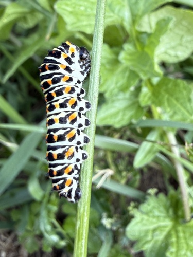
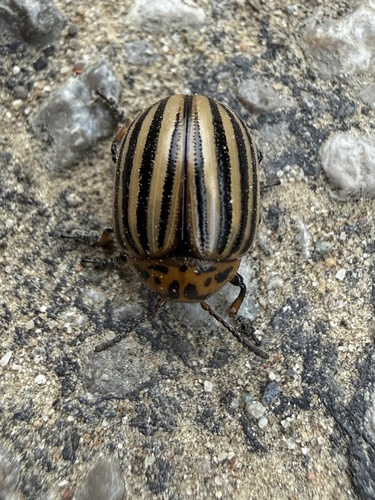
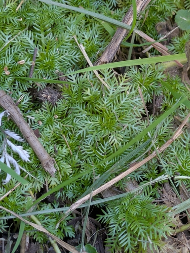
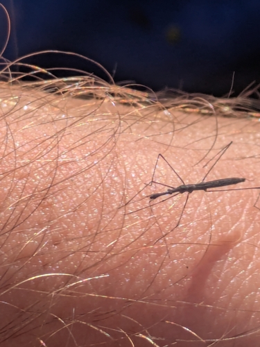
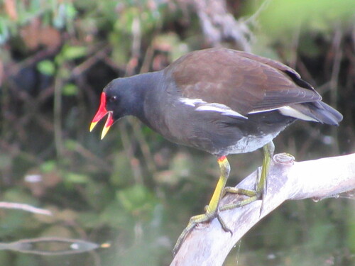
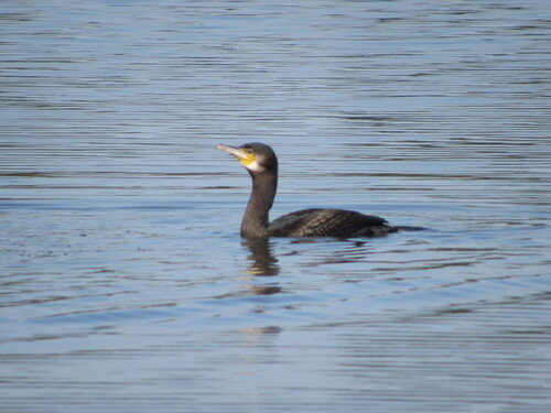
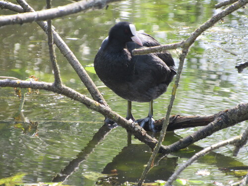
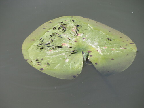
Research-grade observations from iNaturalist (within ~15 mi).
Events
Gallery
Official Identifiers
INSEE — French National Institute of Statistics
- INSEE code
- 62765
- Department
- 62
- Region
- 32
- Population (Wikidata)
- 14,382
geo.api.gouv.fr
Sources
- • Wikipedia
- • Open-Meteo (ERA5 reanalysis)
- • Wikidata
- • Open-Meteo Air Quality (CAMS)
- • USGS Earthquake Catalog (global feed)
- • GBIF (Global Biodiversity Information Facility)
- • iNaturalist
- • Open-Meteo / sunrise-sunset.org
- • Wikipedia Pageviews API
- • Open Library
- • Wikidata SPARQL (CC0) — population, area, elevation, inception, head of government, Commons image
- • INSEE — French national statistics, via geo.api.gouv.fr (official commune code, population, surface, department, region)
- • INSEE — French National Institute of Statistics — geo.api.gouv.fr