Browse / France / Provence-Alpes-Côte d'Azur / Saint-Pons
Saint-Pons
Provence-Alpes-Côte d'Azurvillage
Total population
604
Demographic figures from INSEE. Overview below cites Wikipedia and may reference a different year.
City facts
Overview
Saint-Pons, a small village in Provence-Alpes-Côte d'Azur, France, forms part of the country's settled landscape. Coordinates of 44.393°, 6.627° situate Saint-Pons in the temperate zone of the northern hemisphere. Around 604 people are recorded as living there in the most recent open data. Open solar datasets indicate about 1,490 kWh/m² of solar irradiance per year, combined with sunshine for roughly 58% of daylight hours. The village belongs to the 93 administrative unit. Its latitude implies a climate characterised by four distinct seasons with warm summers and cold winters. Further detail — demographics, climate, nearby amenities and natural-hazard data — is compiled below from public open-data sources.
Summary composed automatically from structured open data on this page. See our Terms for details.
History & geography
Geography
Coordinates & boundaries from the US Census TIGER/Line shapefiles.
Climate
Air quality
Walkability
Amenities nearby
Wildlife & biodiversity
Most-observed species
- Alpine marmotMarmota marmota (Linnaeus, 1758) · Mammalia458
- Yellow GentianGentiana lutea L. · Magnoliopsida417
- Stinking HelleboreHelleborus foetidus L. · Magnoliopsida393
- Eurasian GriffonGyps fulvus (Hablizl, 1783) · Aves373
- Common wall lizardPodarcis muralis (Laurenti, 1768) · Squamata353
- Marbled WhiteMelanargia galathea Linnaeus, 1758 · Insecta330
- Common ChaffinchFringilla coelebs Linnaeus, 1758 · Aves309
- Northern WheatearOenanthe oenanthe (Linnaeus, 1758) · Aves274
Citizen-science & research observations from the Global Biodiversity Information Facility (GBIF).
Earthquake history
Most recent
- M 2.5 — 2025-03-201 km WSW of Cantaron, France
- M 3.1 — 2025-03-181 km ESE of Tourrette-Levens, France
- M 3.3 — 2025-03-182 km N of Berre-les-Alpes, France
- M 3.9 — 2024-12-098 km WNW of Acceglio, Italy
- M 4.1 — 2023-11-2110 km WSW of Acceglio, Italy
- M 4.1 — 2023-05-1616 km W of Pleyne, Italy
Events from the USGS Earthquake Catalog (global) (FDSN Event Web Service).
Photos
Sights & places nearby
Notable people from here


People born within ~10 km, from Wikidata (CC0). Click any name for their Wikipedia article.
Nearby places in Provence-Alpes-Côte d'Azur
- Barcelonnette1.3 mi away · pop. 2,539
- Pra-Loup 16002 mi away
- Molanès2.5 mi away
- Les Thuiles2.6 mi away · pop. 369
- Le Sauze3 mi away
- Le Super Sauze3.8 mi away
- Fours Saint-Laurent6.1 mi away
- La Condamine-Châtelard7.4 mi away · pop. 154
- Les Clarionds7.5 mi away
- Saint-Barthélémy8.2 mi away
- Tournoux8.6 mi away
- Les Orres9.2 mi away · pop. 519
Geography & sun
Elevation, sunrise/sunset and daylight from Open-Meteo. Solar climatology from NASA POWER.
Nearby airports
Public attention
Pageview totals from the Wikimedia Pageviews API.
Books about this place
Recent natural events nearby
Ground air-quality sensors
Recently spotted species
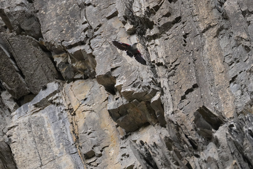
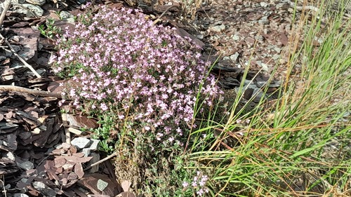
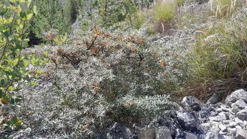




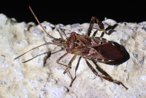
Research-grade observations from iNaturalist (within ~15 mi).
Events
Gallery
Official Identifiers
INSEE — French National Institute of Statistics
- INSEE code
- 04195
- Department
- 04
- Region
- 93
- Population (Wikidata)
- 631
geo.api.gouv.fr
Sources
- • Wikidata
- • USGS Earthquake Catalog (global feed)
- • GBIF (Global Biodiversity Information Facility)
- • iNaturalist
- • Open-Meteo / sunrise-sunset.org
- • Wikipedia Pageviews API
- • INSEE — French national statistics, via geo.api.gouv.fr (official commune code, population, surface, department, region)
- • INSEE — French National Institute of Statistics — geo.api.gouv.fr