Browse / France / Auvergne-Rhône-Alpes / Sallanches
Sallanches
Auvergne-Rhône-Alpestown

Sallanches
Total population
17,133

Air quality index
Demographic figures from INSEE. Overview below cites Wikipedia and may reference a different year.
City facts
Sister cities
Facts from Wikidata (CC0).
Overview
Sallanches is a commune in the Haute-Savoie department of the Auvergne-Rhône-Alpes region of France. Located close to the Mont Blanc massif, many visitors pass through the town en route to well-known alpine resorts such as Chamonix, Megève and Saint-Gervais-les-Bains. Sallanches is the centre of an urban area with about 46,000 inhabitants.
Read more on WikipediaHistory & geography
History
In spite of the ancient etymology of the name of the city, no remnants exist of a Gallo-Roman site. In excavations from 1992, only two tombs characteristic of the 5th - 6th centuries were discovered in the basement of the church. Until the end of the 13th century, the small town developed as a religious and economic center of the region. Since the 14th century its church, erected as a collegiate church, extended its jurisdiction over many parishes around the course of the Revolution. Sallanches had two convents: the Order of Friars Minor Capuchin founded in 1619 and the Ursulines from 1630; they disappeared in the turmoil of the French Revolution. In 1310, first franchises for selling agricultural products manufactured by the city's craftsmen on the weekly market were granted to its inhabitants. This communal code was at the origin of the prosperity of the city and the establishment of noble families who built castles and fortresses. Throughout this period, the fate of Sallanches was linked to that of the province of Faucigny, since 1355 in possession of the House of Savoy at the origin of the Kingdom of Piedmont-Sardinia (1718). Sallanches experienced seven major fires: on 14 April 1520, on 29 November 1669, on 20 January 1696, on 9 February 1768, on 13 November 1773, on 19 April 1783 and on 19 April 1840. The seventh fire ravaged the city for at least three hours, destroying 268 houses out of the 273 of the town- the historic town was destroyed. After the period of the French occupation during the French Revolution (Sallanches was the capital of a judicial district under the Directionoire) and the First Empire (France), from 1792 to 1814, the Sardinian monarchy was restored. At the beginning of the 19th century, the religious influence of the city regressed. It…
Geography
Sallanches is a commune located in the far east of France in the Arve Valley of the historical region of Savoy. The town is located close to the Swiss and Italian borders. The town occupies the northern part of the Sallanches basin, a large glacial plain crossed by the Arve and bordered by the Aravis Range, the Mont Blanc massif and the Faucigny massif. The vast basin with low steep slopes contrasts with the high peaks that surround it. Sallanches is dominated to the west by part of the Aravis Range, in particular the summit of the Quatre Têtes (2364 m) and La Miaz (2336m). The town is bordered in the north by Magland, the northwest Le Reposoir, in the west by the ski resort Le Grand-Bornand, in the southwest by Cordon, Haute-Savoie,, in the south by La Giettaz, in the southeast by Combloux and Megève, and in the east by Passy and Domancy. The area is dedicated mainly to agriculture and tourism (due to its lakes, offering campsites). Sallanches is served by the A40 autoroute Mâcon-Chamonix motorway, allowing Sallanchards to reach Annemasse in 35 minutes, Annecy or Geneva in less than 50 minutes, and Lyon or Grenoble in less than two hours. Sallanches is connected to the national motorway network (link A40-A41, A40-A6...). Until 2009, Sallanches had only a half-exchange, preventing the population from travelling by the motorway to Chamonix, a source of regular congestion in the city. The interchange was completed in September 2009. The city is crossed by two former national roads, departmentalized since 2006: RD 1212 (ex-RN 212) Sallanches-Albertville, and RD 1205 (ex-RN 205) Bonneville-Chamonix. As of 2024, the city remains little connected to a public transport network, apart from the rail network and the inter-urban network: Sallance has a railway station, , on…
Excerpted from the corresponding Wikipedia article (CC BY-SA).
Geography
Coordinates & boundaries from the US Census TIGER/Line shapefiles.
Climate
10-year averages from ERA5 reanalysis (Open-Meteo).
Air quality
Current readings from Open-Meteo Air Quality API (Copernicus CAMS European reanalysis).
Walkability
Amenities nearby
Wildlife & biodiversity
Most-observed species
- Common ChaffinchFringilla coelebs Linnaeus, 1758 · Aves2,012
- Eurasian BlackbirdTurdus merula Linnaeus, 1758 · Aves1,903
- Great TitParus major Linnaeus, 1758 · Aves1,801
- Carrion CrowCorvus corone Linnaeus, 1758 · Aves1,781
- Eurasian Blue TitCyanistes caeruleus (Linnaeus, 1758) · Aves1,674
- Black RedstartPhoenicurus ochruros (S.G.Gmelin, 1774) · Aves1,609
- Common BuzzardButeo buteo (Linnaeus, 1758) · Aves1,420
- Coal TitPeriparus ater (Linnaeus, 1758) · Aves1,392
Citizen-science & research observations from the Global Biodiversity Information Facility (GBIF).
Earthquake history
Most recent
- M 3.6 — 2026-01-124 km SSW of Les Houches, France
- M 3.3 — 2025-05-068 km W of Chapareillan, France
- M 3.2 — 2024-05-099 km SW of Evolène, Switzerland
- M 3.3 — 2022-09-257 km ESE of Ar?ches-la-Frasse, France
- M 2.7 — 2022-08-234 km S of Turtmann, Switzerland
- M 4.5 — 2022-03-123 km S of Faverges, France
Events from the USGS Earthquake Catalog (global) (FDSN Event Web Service).
Photos

Sallanche
.jpg)
La Sallanches @ Sallanches (51008900528)
.jpg)
La Sallanches @ Sallanches (51008900618)
.jpg)
La Sallanches @ Sallanches (51009707377)
.jpg)
Croix @ Sallanches (51009608126)
.jpg)
Sallanche river in Sallanches (3)
.jpg)
Sallanche river in Sallanches (4)
.jpg)
Sallanche river in Sallanches (6)
.jpg)
Sallanche river in Sallanches (5)
.jpg)
Sallanche river in Sallanches (7)
.jpg)
Town hall of Sallanches (3)
.jpg)
Town hall of Sallanches (2)
Geo-tagged photos from Wikimedia Commons (CC-licensed; click any photo for license details).
Sights & places nearby
Notable people from here


People born within ~10 km, from Wikidata (CC0). Click any name for their Wikipedia article.
Nearby places in Auvergne-Rhône-Alpes
- Magland5.8 mi away · pop. 3,251
- Marnaz9.8 mi away · pop. 5,827
- Thônes15.2 mi away
- Ugine16.4 mi away · pop. 7,148
- Morzine17.3 mi away · pop. 2,660
- Thorens-Glières18.8 mi away · pop. 9,547
- Gilly-sur-Isère23.4 mi away · pop. 3,076
- Saint-Jorioz23.5 mi away · pop. 6,287
- Vétraz-Monthoux24.3 mi away · pop. 9,874
- Saint-Cergues25.4 mi away · pop. 3,714
- Aime26.2 mi away · pop. 4,421
- Allinges28.8 mi away · pop. 4,853
Geography & sun
Elevation, sunrise/sunset and daylight from Open-Meteo. Solar climatology from NASA POWER.
Nearby airports
Public attention
Pageview totals from the Wikimedia Pageviews API.
Books about this place
Recent natural events nearby
Ground air-quality sensors
Recently spotted species
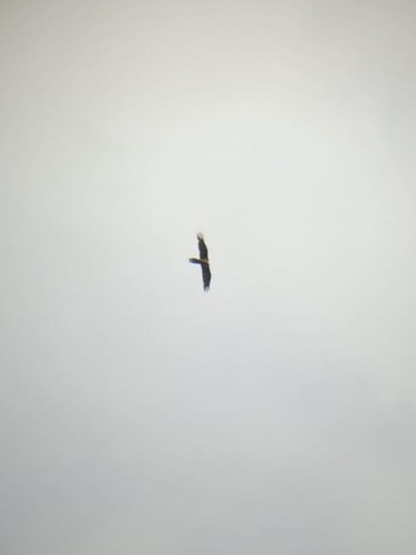
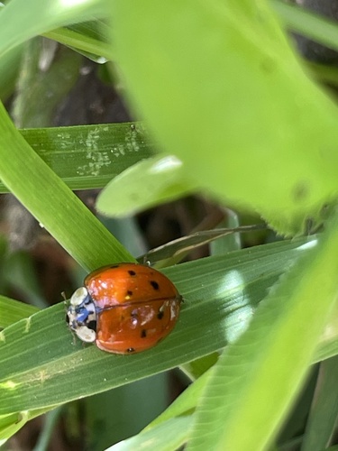
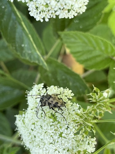
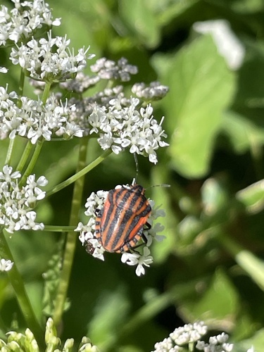
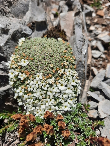
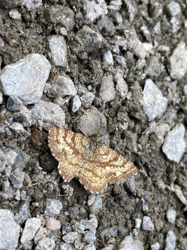
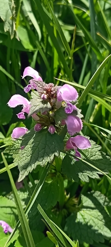
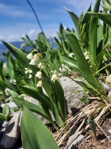
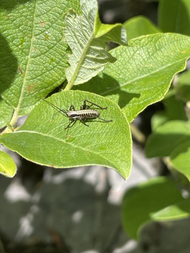
Research-grade observations from iNaturalist (within ~15 mi).
Events
Gallery
Geotagged photos within ~6 miles of Sallanches, from Wikimedia Commons contributors.
0 mi0 mi0 mi0 mi0 mi0 mi0 mi0 mi0 mi0 mi0 mi.jpg) 0 mi
0 mi.jpg) 0 mi
0 mi.jpg) 0 mi
0 mi.jpg) 0 mi
0 mi.jpg) 0.1 mi
0.1 mi.jpg) 0.1 mi0.1 mi
0.1 mi0.1 mi 0.1 mi
.jpg) 0.1 mi
0.1 mi.jpg) 0.1 mi
0.1 mi.jpg) 0.1 mi
0.1 mi.jpg) 0.1 mi
0.1 mi 0.2 mi
Photos via Wikimedia Commons — see each image page for license & attribution.
Official Identifiers
INSEE — French National Institute of Statistics
- INSEE code
- 74256
- Department
- 74
- Region
- 84
- Population (Wikidata)
- 17,319
geo.api.gouv.fr
Sources
- • Wikipedia
- • Open-Meteo (ERA5 reanalysis)
- • Wikimedia Commons
- • Wikidata
- • Open-Meteo Air Quality (CAMS)
- • USGS Earthquake Catalog (global feed)
- • GBIF (Global Biodiversity Information Facility)
- • iNaturalist
- • Open-Elevation
- • Open-Meteo / sunrise-sunset.org
- • Wikipedia Pageviews API
- • Wikidata SPARQL (CC0) — population, area, elevation, inception, head of government, Commons image
- • INSEE — French national statistics, via geo.api.gouv.fr (official commune code, population, surface, department, region)
- • INSEE — French National Institute of Statistics — geo.api.gouv.fr