Browse / France / Provence-Alpes-Côte d'Azur / Sanary-sur-Mer
Sanary-sur-Mer
Provence-Alpes-Côte d'Azurtown

Sanary-sur-Mer
Total population
17,268
Demographic figures from INSEE. Overview below cites Wikipedia and may reference a different year.
City facts
Sister cities
Facts from Wikidata (CC0).
Overview
Sanary-sur-Mer, popularly known as Sanary, is a resort town and commune in the Var department in the Provence-Alpes-Côte d'Azur region, Southeastern France. Sanary-sur-Mer is located in coastal Provence on the Mediterranean Sea, 13 km (8.1 mi) west of Toulon and 49 km (30 mi) southeast of Marseille. It can be reached from Paris by TGV in less than four hours. In high season there are direct flights to nearby Toulon–Hyères Airport from London, Oslo, Brussels and Rotterdam.
Read more on WikipediaHistory & geography
History
The seafront location was part of the commune of Ollioules. In the 16th century the seigneur established a fishing village here, clustered around the medieval watchtower, under the protection of Sanct Nazari of Lérins Abbey. The port was constructed and the harbour deepened in the mid-16th century. The little fishing port known in the Provençal dialect of Occitan (or in Provençal if considered as a distinct language) as 'Sant Nazari', later 'Sant Nàri', contracted later on as 'Sanàri', was finally granted its independence from Ollioules by Louis XIV on 10 July 1688. On 12 November 1890 it officially received its Francised name, 'Sanary', which was formalised and distinguished as 'sur-Mer' (on Sea) on 27 July 1923. As a tourist rendezvous, the village underwent a strong decade of growth in the 1980s. Sanary-sur-Mer's coastline has a number of small beaches; it is an active village all year round, unlike most small towns on the Mediterranean coast. Sanary-sur-Mer is one of the sunniest places in France, with an average of only 61 days of rain, mostly in winter, as well as major solar radiation (6,156 MJ/m2/yr), comparable to Sicily. It is regularly swept by the Mistral, a strong wind coming from the Rhône Valley, which brings low humidity around 20%, gusts up to , cool temperatures, sun and deep blue skies. Wind is near gale force or higher on average 115 days per year (storm force eight days per year), making Sanary a favourite destination for windsurfers.
Excerpted from the corresponding Wikipedia article (CC BY-SA).
Geography
Coordinates & boundaries from the US Census TIGER/Line shapefiles.
Climate
Air quality
Walkability
Amenities nearby
Wildlife & biodiversity
Most-observed species
- Eurasian Collared-DoveStreptopelia decaocto (Frivaldszky, 1838) · Aves1,784
- Mastic TreePistacia lentiscus L. · Magnoliopsida1,546
- Japanese CheesewoodPittosporum tobira (Murray) Aiton fil. · Magnoliopsida1,497
- Great TitParus major Linnaeus, 1758 · Aves1,457
- Eurasian MagpiePica pica (Linnaeus, 1758) · Aves1,413
- Eurasian Blue TitCyanistes caeruleus (Linnaeus, 1758) · Aves1,381
- Grey-leaved CistusCistus albidus L. · Magnoliopsida1,361
- European RobinErithacus rubecula (Linnaeus, 1758) · Aves1,351
Citizen-science & research observations from the Global Biodiversity Information Facility (GBIF).
Earthquake history
Most recent
- M 2.5 — 2008-12-234 km ENE of Éguilles, France
- M 2.7 — 2008-10-0275 km SSW of Six-Fours-les-Plages, France
- M 2.5 — 2008-07-238 km N of Fayence, France
- M 2.5 — 2008-07-1977 km SSW of Six-Fours-les-Plages, France
- M 2.7 — 2008-05-216 km SSW of Carqueiranne, France
- M 2.7 — 2008-03-0428 km S of Le Lavandou, France
Events from the USGS Earthquake Catalog (global) (FDSN Event Web Service).
Photos
Sights & places nearby
Notable people from here
Nearby places in Provence-Alpes-Côte d'Azur
- Ceyreste10.7 mi away · pop. 4,813
- La Farlède12.6 mi away · pop. 9,658
- Solliès-Toucas12.8 mi away · pop. 5,912
- Roquefort-la-Bédoule13.8 mi away · pop. 5,861
- Carnoux-en-Provence15.3 mi away · pop. 6,747
- Nans-les-Pins17.7 mi away · pop. 4,968
- L'Ayguade18.9 mi away
- Saint-Zacharie19 mi away · pop. 5,931
- Les Salins20.1 mi away
- Belcodène23.8 mi away · pop. 1,948
- Besse-sur-Issole24.8 mi away · pop. 3,095
- Mimet25.3 mi away · pop. 4,187
Geography & sun
Elevation, sunrise/sunset and daylight from Open-Meteo. Solar climatology from NASA POWER.
Nearby airports
Public attention
Pageview totals from the Wikimedia Pageviews API.
Books about this place
Recent natural events nearby
Ground air-quality sensors
Recently spotted species

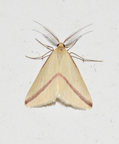
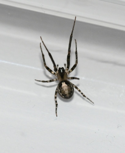
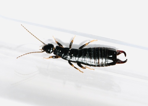

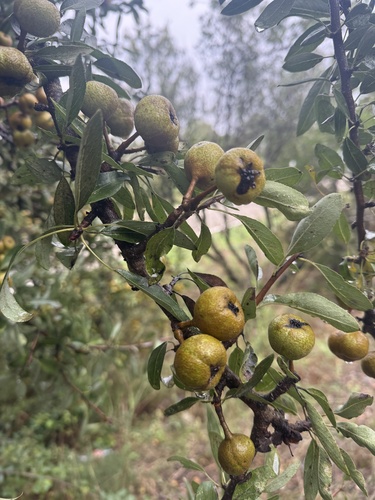
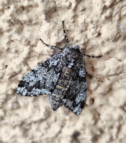
Research-grade observations from iNaturalist (within ~15 mi).
Events
Gallery
Official Identifiers
INSEE — French National Institute of Statistics
- INSEE code
- 83123
- Department
- 83
- Region
- 93
- Population (Wikidata)
- 18,538
geo.api.gouv.fr
Sources
- • Wikipedia
- • Wikidata
- • USGS Earthquake Catalog (global feed)
- • GBIF (Global Biodiversity Information Facility)
- • iNaturalist
- • Open-Meteo / sunrise-sunset.org
- • Wikipedia Pageviews API
- • Wikidata SPARQL (CC0) — population, area, elevation, inception, head of government, Commons image
- • INSEE — French national statistics, via geo.api.gouv.fr (official commune code, population, surface, department, region)
- • INSEE — French National Institute of Statistics — geo.api.gouv.fr