Browse / France / Hauts-de-France / Sangatte
Sangatte
Hauts-de-Francevillage

Sangatte
Total population
4,842
Demographic figures from INSEE. Overview below cites Wikipedia and may reference a different year.
City facts
Sister cities
Facts from Wikidata (CC0).
Overview
Sangatte is a commune in the Pas-de-Calais department on the northern coast of France on the English Channel. The name is of Flemish origin, meaning hole or gap in the sand.
Read more on WikipediaHistory & geography
History
Sangatte was the landing point of the world's first operational underwater telegraph cable, laid across the Channel by the Submarine Telegraph Company in 1851 between South Foreland and Sangatte. 'Blériot-Plage' is named to commemorate Louis Blériot who, on 25 July 1909, was the first person to fly across the English Channel. He flew from the beach at Sangatte to the White Cliffs of Dover, to claim the prize offered by the Daily Mail. The crossing took 37 minutes in his aeroplane, Blériot XI, built in collaboration with Raymond Saulnier. It was powered by a 3-cylinder engine. At the western end of the beach, a statue of the French aviator Hubert Latham overlooks the sea. Latham was another pioneering cross-channel pilot whose earlier attempt on 19 July had failed. Sangatte is also the landing location of Supermarine Spitfire Mark 1a N3200 of No. 19 Squadron RAF, which was forced to land at the beach after receiving damage to its radiator from shots fired by a Messerschmitt Bf 109 of JG 2 during Operation Dynamo on 26 May 1940, having shot down a Junkers Ju 87 shortly beforehand to protect the evacuating soldiers at Dunkirk. The plane was recovered from the sand at Sangatte in 1986, and restoration work commenced in 2000, which continued until 2014 when works completed, the aircraft having been repaired to a fully airworthy state.
Excerpted from the corresponding Wikipedia article (CC BY-SA).
Geography
Coordinates & boundaries from the US Census TIGER/Line shapefiles.
Climate
10-year averages from ERA5 reanalysis (Open-Meteo).
Air quality
Walkability
Amenities nearby
Wildlife & biodiversity
Earthquake history
Photos
Sights & places nearby
Notable people from here


People born within ~10 km, from Wikidata (CC0). Click any name for their Wikipedia article.
Nearby places in Hauts-de-France
- Escalles2.6 mi away · pop. 216
- Fréthun3.6 mi away · pop. 1,395
- Coulogne5.8 mi away · pop. 5,414
- Wissant5.8 mi away · pop. 848
- Guînes7.3 mi away · pop. 5,545
- Marquise9.5 mi away · pop. 5,120
- Gravelines16.5 mi away · pop. 11,223
- Hesdigneul-lès-Boulogne20.1 mi away · pop. 821
- Loon-Plage20.5 mi away · pop. 6,039
- Cappelle-Brouck20.7 mi away · pop. 1,158
- Watten21.5 mi away · pop. 2,577
- Lumbres23.1 mi away · pop. 3,575
Geography & sun
Elevation, sunrise/sunset and daylight from Open-Meteo. Solar climatology from NASA POWER.
Nearby airports
Public attention
Pageview totals from the Wikimedia Pageviews API.
Books about this place
Recent natural events nearby
Ground air-quality sensors
Recently spotted species
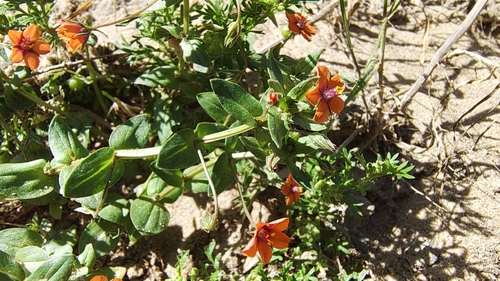
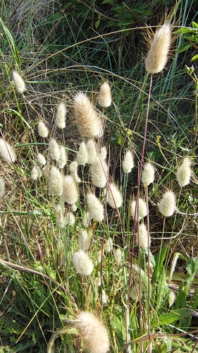
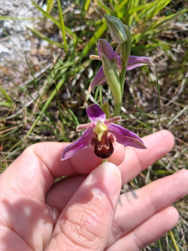
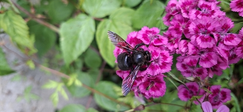
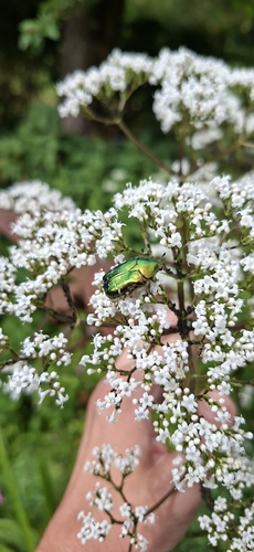
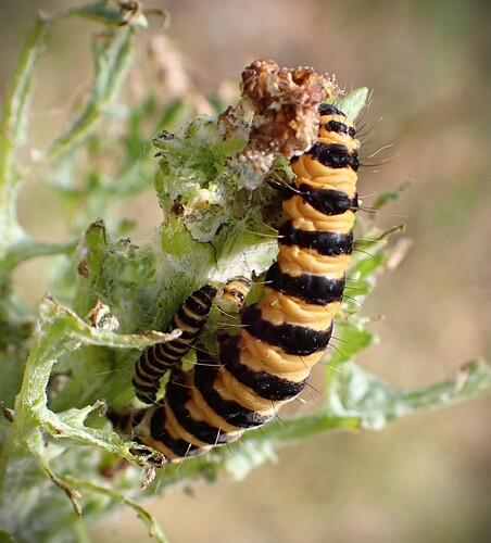
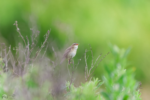
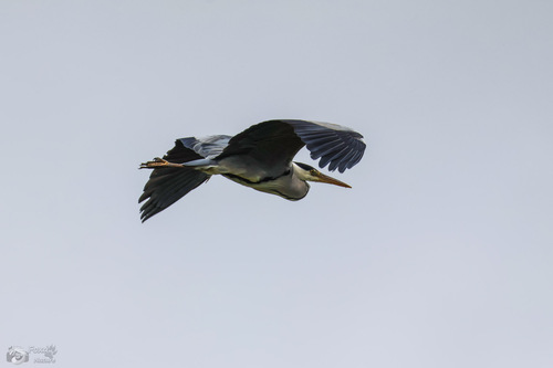
Research-grade observations from iNaturalist (within ~15 mi).
Events
Gallery
Geotagged photos within ~6 miles of Sangatte, from Wikimedia Commons contributors.
 0.1 mi
 0.1 mi
 0.1 mi
 0.2 mi
 0.3 mi
 0.3 mi
 0.3 mi
 0.7 mi
.jpg) 0.8 mi
0.8 mi_(11).jpg) 1.1 mi
1.1 mi_(12).jpg) 1.1 mi
1.1 mi_(13).jpg) 1.1 mi
1.1 mi.jpg) 1.1 mi
1.1 mi.jpg) 1.1 mi
1.1 mi 1.1 mi
_(9).jpg) 1.2 mi
1.2 mi_(14).jpg) 1.2 mi
1.2 mi.jpg) 1.2 mi
1.2 mi.jpg) 1.2 mi
1.2 mi_(15).jpg) 1.3 mi
1.3 mi.jpg) 1.3 mi
1.3 mi.jpg) 1.3 mi
1.3 mi 1.3 mi
.jpg) 1.5 mi
1.5 miPhotos via Wikimedia Commons — see each image page for license & attribution.
Official Identifiers
INSEE — French National Institute of Statistics
- INSEE code
- 62774
- Department
- 62
- Region
- 32
- Population (Wikidata)
- 4,668
geo.api.gouv.fr
Sources
- • Wikipedia
- • Open-Meteo (ERA5 reanalysis)
- • Wikimedia Commons
- • Wikidata
- • iNaturalist
- • Open-Elevation
- • Open-Meteo / sunrise-sunset.org
- • Wikipedia Pageviews API
- • INSEE — French national statistics, via geo.api.gouv.fr (official commune code, population, surface, department, region)
- • INSEE — French National Institute of Statistics — geo.api.gouv.fr