Browse / France / Auvergne-Rhône-Alpes / Saugues
Saugues
Auvergne-Rhône-Alpesvillage

Saugues
Total population
1,681
Air quality index
Demographic figures from INSEE. Overview below cites Wikipedia and may reference a different year.
City facts
Facts from Wikidata (CC0).
Overview
Saugues is a commune in the Haute-Loire department in south-central France.
Read more on WikipediaHistory & geography
History
A former stronghold of the Gévaudan, Saugues grew in the 12th century under the authority of the Bishops of Mende and the Lords of Mercœur. A fire in 1788 destroyed most of the town's historical centre. It is in the mountains around and near Saugues that the famous beast of Gévaudan is said to have originated. Saugues is situated on the Via Podiensis, a variant route of the Way of St. James pilgrimage to Santiago de Compostela. Pilgrims arrive in the town from Monistrol-d'Allier, and continue to the next communes of Chanaleilles, La Dômerie du Sauvage and La Chapelle Saint-Roch. Saugues was the traditional meeting point for pilgrims coming from Auvergne, as the path coming from Brioude made them able to avoid Le Puy-en-Velay and instead wind though the Allier river valley through Langeac, Chanteuges and Pourcheresse forest, connecting them to the secondary tracks that took pilgrims from Cantal and Puy-de-Dôme. The Confrérie des Pénitents, or the Confraternity of Penitents, was founded in Saugues on 14 May 1652, with the permission of the Monseigneur of Marcillac and under the leadership of five of the town's nobles; Lord of Courère Antoine de Langlade, Lord of Valletta Jacques de Langlade, both canons of the local collegiate church of Saint Médard, the Royal Notary Jacques de Langlade, the bourgeois Benoît Paparic, and the apothecary Antoine Pichot. The confraternity was officially recognised by a bull from the Archconfraternity of the Gonfalone in Rome.
Geography
The municipality lies in the Margeride mountains, with its highest point reached at the summit of Montchauvet at an altitude of 1,485 meters. The town lies west of Le Puy-en-Velay.
Excerpted from the corresponding Wikipedia article (CC BY-SA).
Geography
Coordinates & boundaries from the US Census TIGER/Line shapefiles.
Climate
Air quality
Current readings from Open-Meteo Air Quality API (Copernicus CAMS European reanalysis).
Walkability
Amenities nearby
Wildlife & biodiversity
Most-observed species
- House SparrowPasser domesticus (Linnaeus, 1758) · Aves482
- Eurasian BlackbirdTurdus merula Linnaeus, 1758 · Aves459
- Eurasian Collared-DoveStreptopelia decaocto (Frivaldszky, 1838) · Aves389
- Carrion CrowCorvus corone Linnaeus, 1758 · Aves371
- Black RedstartPhoenicurus ochruros (S.G.Gmelin, 1774) · Aves366
- Eurasian JayGarrulus glandarius (Linnaeus, 1758) · Aves312
- Red KiteMilvus milvus (Linnaeus, 1758) · Aves302
- Common ChaffinchFringilla coelebs Linnaeus, 1758 · Aves299
Citizen-science & research observations from the Global Biodiversity Information Facility (GBIF).
Earthquake history
Most recent
- M 4.8 — 2019-11-115 km WNW of Rochemaure, France
- M 4.3 — 2011-08-034 km ESE of Barjac, France
- M 2.7 — 2008-12-054 km NNE of Laguiole, France
- M 2.5 — 2008-11-119 km ESE of Sainte-Geneviève-sur-Argence, France
- M 3 — 2008-11-042 km NE of Chaudes-Aigues, France
- M 2.6 — 2008-09-125 km E of Mont-Dore, France
Events from the USGS Earthquake Catalog (global) (FDSN Event Web Service).
Photos
Sights & places nearby
Notable people from here


People born within ~10 km, from Wikidata (CC0). Click any name for their Wikipedia article.
Nearby places in Auvergne-Rhône-Alpes
- Langeac10 mi away · pop. 3,437
- Saint-Georges-d'Aurac13.6 mi away · pop. 475
- Coubon18.4 mi away · pop. 3,177
- La Chapelle-Bertin18.7 mi away · pop. 49
- Brives-Charensac19.4 mi away · pop. 4,246
- Lespéron23.4 mi away · pop. 311
- Brioude24.4 mi away · pop. 6,518
- Lavillatte24.9 mi away · pop. 42
- Issarlès25.1 mi away · pop. 125
- Lachapelle-Graillouse25.4 mi away · pop. 189
- Cellier-du-Luc25.9 mi away · pop. 88
- Le Lac-d'Issarlès27.1 mi away · pop. 252
Geography & sun
Elevation, sunrise/sunset and daylight from Open-Meteo. Solar climatology from NASA POWER.
Nearby airports
Public attention
Pageview totals from the Wikimedia Pageviews API.
Books about this place
Recent natural events nearby
Ground air-quality sensors
Recently spotted species
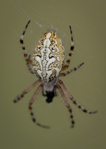
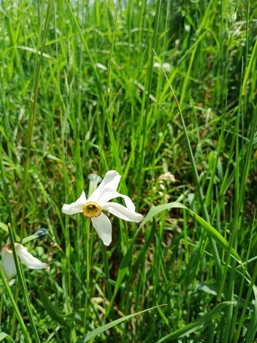
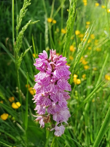
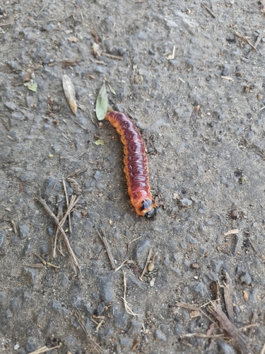
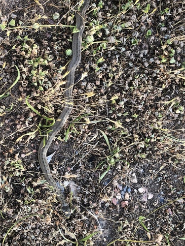
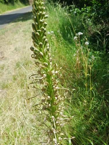
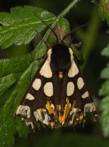
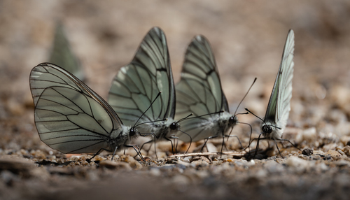
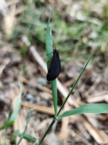
Research-grade observations from iNaturalist (within ~15 mi).
Events
Gallery
Geotagged photos within ~6 miles of Saugues, from Wikimedia Commons contributors.
 0.1 mi
 0.2 mi
.jpg) 0.2 mi
0.2 mi.jpg) 0.2 mi
0.2 mi.jpg) 0.2 mi
0.2 mi.jpg) 0.2 mi
0.2 mi.jpg) 0.2 mi
0.2 mi.jpg) 0.2 mi
0.2 mi.jpg) 0.2 mi
0.2 mi.jpg) 0.2 mi
0.2 mi.jpg) 0.2 mi
0.2 mi.jpg) 0.2 mi
0.2 mi.jpg) 0.2 mi
0.2 mi.jpg) 0.2 mi
0.2 mi.jpg) 0.2 mi
0.2 mi.jpg) 0.2 mi
0.2 mi.jpg) 0.7 mi
0.7 mi.jpg) 0.7 mi
0.7 mi 0.7 mi
 0.7 mi
.jpg) 0.8 mi
0.8 mi.jpg) 0.8 mi
0.8 mi.jpg) 0.8 mi
0.8 mi 2 mi
2 miPhotos via Wikimedia Commons — see each image page for license & attribution.
Official Identifiers
INSEE — French National Institute of Statistics
- INSEE code
- 43234
- Department
- 43
- Region
- 84
- Population (Wikidata)
- 1,652
geo.api.gouv.fr
Sources
- • Wikipedia
- • Wikimedia Commons
- • Wikidata
- • Open-Meteo Air Quality (CAMS)
- • USGS Earthquake Catalog (global feed)
- • GBIF (Global Biodiversity Information Facility)
- • iNaturalist
- • Open-Meteo / sunrise-sunset.org
- • Wikipedia Pageviews API
- • INSEE — French national statistics, via geo.api.gouv.fr (official commune code, population, surface, department, region)
- • INSEE — French National Institute of Statistics — geo.api.gouv.fr