Browse / France / Pays de la Loire / Saumur
Saumur
Pays de la Loiretown

Saumur
Total population
26,215
Demographic figures from INSEE. Overview below cites Wikipedia and may reference a different year.
City facts
Facts from Wikidata (CC0).
Overview
Saumur is a commune in and subprefecture of the Maine-et-Loire department in western France.
Read more on WikipediaHistory & geography
History
The Dolmen de Bagneux on the south of the town, is 23 meters long and is built from 15 large slabs of the local stone, weighing over 500 tons. It is the largest in France. The Château de Saumur was constructed in the 10th century to protect the Loire River crossing from Norman attacks after the settlement of Saumur was sacked in 845. The castle, destroyed in 1067 and inherited by the House of Plantagenet, was rebuilt by Henry II of England in the later 12th century. It changed hands several times between Anjou and France until 1589. Houses in Saumur are constructed almost exclusively of Tuffeau stone. The caves dug to excavate the stone are now often used as commercial wine cellars. The Hôtel de Ville was completed in around 1515. Amyraldism, or the School of Saumur, is a distinctive form of Reformed theology taught by Moses Amyraut at the Academy of Saumur in the 17th century. Saumur is also the scene for Balzac's novel Eugénie Grandet, written in 1833. Prior to the French Revolution, Saumur was the capital of the , a bailiwick which existed until 1793. Saumur was the location of the Battle of Saumur during the Revolt in the Vendée. It hosted a state prison under Napoleon. The town was an equestrian centre with both the military cavalry school from 1783 and later the Cadre Noir equestrian team. During the Battle of France in World War II, Saumur was the site of the Battle of Saumur (1940); the town and south bank of the Loire were defended by the teenage cadets of the cavalry school. In 1944 it was the target of the first Tallboy and the fourth Azon bombing raids by Allied planes. On 8/9 June 1944, Tallboy "earthquake" bombs were first used, against a railway tunnel near Saumur. The hastily organized night raid was to stop a planned German Panzer Division which…
Excerpted from the corresponding Wikipedia article (CC BY-SA).
Geography
Coordinates & boundaries from the US Census TIGER/Line shapefiles.
Climate
Air quality
Walkability
Amenities nearby
Wildlife & biodiversity
Earthquake history
Photos
Sights & places nearby
Notable people from here


People born within ~10 km, from Wikidata (CC0). Click any name for their Wikipedia article.
Nearby places in Pays de la Loire
- Vivy4.8 mi away · pop. 2,551
- Allonnes5.4 mi away · pop. 2,933
- Turquant5.6 mi away · pop. 573
- Brézé6 mi away · pop. 1,308
- Neuillé6 mi away · pop. 993
- Mollay6.1 mi away · pop. 348
- Montsoreau7 mi away · pop. 417
- Montfort7.5 mi away · pop. 112
- Fontevraud-l’Abbaye8.1 mi away · pop. 1,500
- Longué-Jumelles8.2 mi away · pop. 6,671
- Forges8.4 mi away · pop. 258
- Brossay9.1 mi away · pop. 344
Geography & sun
Elevation, sunrise/sunset and daylight from Open-Meteo. Solar climatology from NASA POWER.
Nearby airports
Public attention
Pageview totals from the Wikimedia Pageviews API.
Books about this place
Recent natural events nearby
Ground air-quality sensors
Recently spotted species
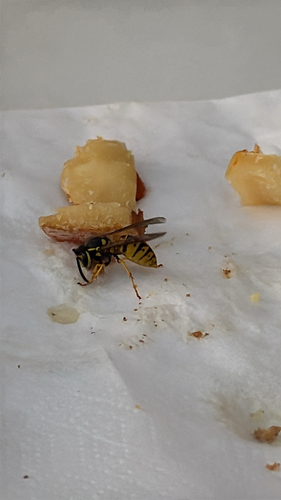

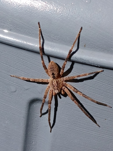
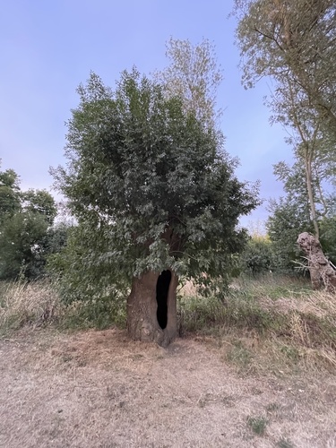

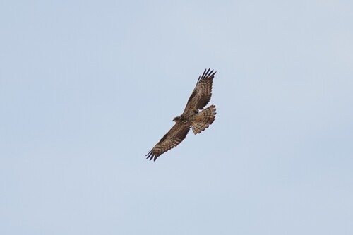
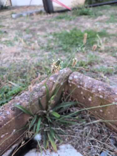

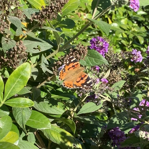
Research-grade observations from iNaturalist (within ~15 mi).
Events
Gallery
Official Identifiers
INSEE — French National Institute of Statistics
- INSEE code
- 49328
- Department
- 49
- Region
- 52
- Population (Wikidata)
- 26,241
geo.api.gouv.fr
Sources
- • Wikipedia
- • Wikidata
- • iNaturalist
- • Open-Meteo / sunrise-sunset.org
- • Wikipedia Pageviews API
- • Wikidata SPARQL (CC0) — population, area, elevation, inception, head of government, Commons image
- • INSEE — French national statistics, via geo.api.gouv.fr (official commune code, population, surface, department, region)
- • INSEE — French National Institute of Statistics — geo.api.gouv.fr