Browse / France / Pays de la Loire / Savenay
Savenay
Pays de la Loirevillage

Savenay
Total population
9,350
Demographic figures from INSEE. Overview below cites Wikipedia and may reference a different year.
City facts
Facts from Wikidata (CC0).
Overview
Savenay is a town in the Loire-Atlantique department in western France which is part of the Pays de la Loire region. It is located on the Sillon de Bretagne and overlooks the marshes of the Loire river, seven kilometers to its south. Under the Old Regime, it was part of the province of Brittany.
Read more on WikipediaHistory & geography
History
The Battle of Savenay on 23 December 1793 was the last, decisive battle of the Revolt in the Vendée during the French Revolution. In this battle the forces of the royalist counter-revolutionaries were irrevocably shattered. During the first world war Savenay was home to a military hospital built by the American Army. As part of the hospital's infrastructure, a local stream was dammed creating the Mabille Valley Lake. The dam is still in place and the lake has become a popular recreation spot.
Geography
Savenay is in the west of the Loire-Atlantic, just north of the Loire estuary. It is 28 km east of Saint-Nazaire and the coast and 40 km from Nantes to its south east. It has good access by both car and train to both cities as well as elsewhere in the region. Towns close by include La Chapelle-Launay at 2.7 km, Prinquiau at 5.6 km, Bouée at 6 km, Lavau-sur-Loire at 7.4 km, Campbon at 10.4 km, Malville at 11.1 km, Quilly at 13.3 km. Savenay climate is, like the rest of the Loire-Atlantique, a temperate oceanic climate. This climate is heavily influenced by the estuary of the Loire. Winters are mild (min 3 °C / Max 10 °C) and summers are mild (12 °C min / max 24 °C). Snowfall is rare. Rain is frequent (113 days per year of precipitation), with annual precipitation averaging about 743 mm, however rainfall is quite variable from one year to another. The average sunshine is 1826 hours per year. The presence of the Sillon de Bretagne, however, causes some local variations in the climate, with marsh areas generally colder than the rest of the town. This area is also often shrouded by fog in the winter.
Excerpted from the corresponding Wikipedia article (CC BY-SA).
Geography
Coordinates & boundaries from the US Census TIGER/Line shapefiles.
Climate
Air quality
Walkability
Amenities nearby
Wildlife & biodiversity
Earthquake history
Photos
Sights & places nearby
Notable people from here


People born within ~10 km, from Wikidata (CC0). Click any name for their Wikipedia article.
Nearby places in Pays de la Loire
- Malville3.7 mi away · pop. 3,627
- Besné7.5 mi away · pop. 3,284
- Saint-Viaud8 mi away · pop. 2,764
- Fay-de-Bretagne8.1 mi away · pop. 3,750
- Vigneux-de-Bretagne9.9 mi away · pop. 6,480
- Guenrouet11.1 mi away · pop. 3,480
- La Sicaudais11.9 mi away
- Saint-Joachim12.3 mi away · pop. 4,139
- Sainte-Reine-de-Bretagne13 mi away · pop. 2,414
- Chauvé14.5 mi away · pop. 3,000
- Sévérac14.6 mi away · pop. 1,673
- Grandchamp-des-Fontaines15.7 mi away · pop. 6,759
Geography & sun
Elevation, sunrise/sunset and daylight from Open-Meteo. Solar climatology from NASA POWER.
Nearby airports
Public attention
Pageview totals from the Wikimedia Pageviews API.
Books about this place
Recent natural events nearby
Ground air-quality sensors
Recently spotted species

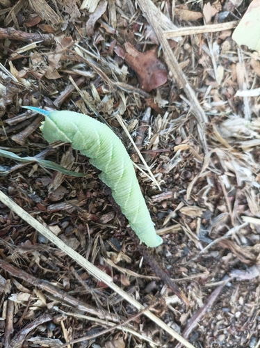
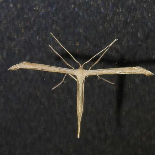
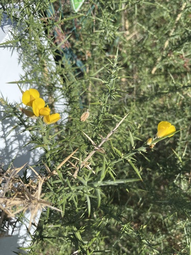
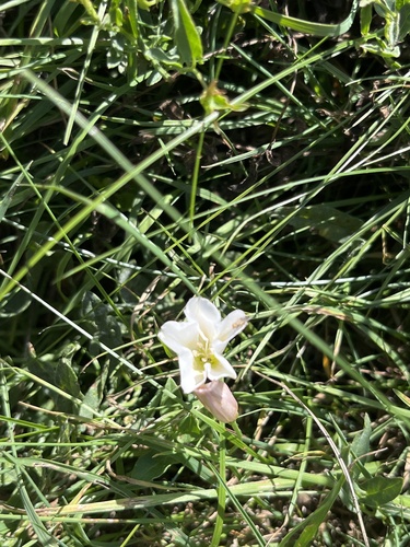
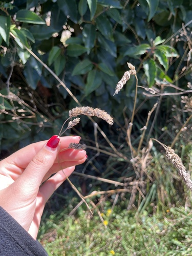
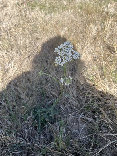
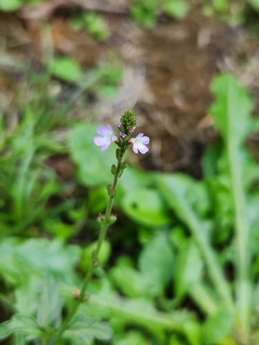
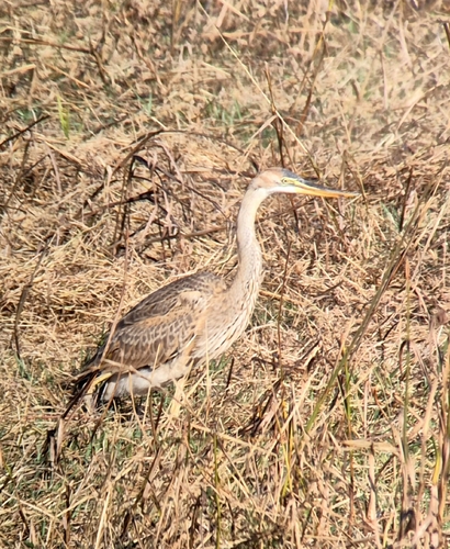
Research-grade observations from iNaturalist (within ~15 mi).
Events
Gallery
Official Identifiers
INSEE — French National Institute of Statistics
- INSEE code
- 44195
- Department
- 44
- Region
- 52
- Population (Wikidata)
- 9,543
geo.api.gouv.fr
Sources
- • Wikipedia
- • Wikidata
- • iNaturalist
- • Open-Meteo / sunrise-sunset.org
- • Wikipedia Pageviews API
- • INSEE — French national statistics, via geo.api.gouv.fr (official commune code, population, surface, department, region)
- • INSEE — French National Institute of Statistics — geo.api.gouv.fr