Browse / France / Grand Est / Saverne
Saverne
Grand Esttown

Saverne
Total population
11,390
Demographic figures from INSEE. Overview below cites Wikipedia and may reference a different year.
City facts
Sister cities
Facts from Wikidata (CC0).
Overview
Saverne is a commune in the Bas-Rhin department in Grand Est in north-eastern France. It is situated on the Rhine-Marne canal at the foot of a pass over the Vosges Mountains, and 45 km (27 mi) northwest of Strasbourg.
Read more on WikipediaHistory & geography
History
Saverne (: Caesar's three taverns, so called because in the older days there were three inns on the way to the Lorraine plateau where they would change oxen due to the steep incline) was an important place in the time of the Roman Empire, and, after being destroyed by the Alemanni, was rebuilt by the emperor Julian. With the settlement of the Alemanni, the town became part of the Germanosphere. After 870 AD the town belonged to East Francia, which turned into the Holy Roman Empire. During the German Peasants' War the town was occupied, in 1525, by the insurgents, who were driven out in their turn by Duke Anton of Lorraine. It suffered much from the ravages of the Thirty Years' War, but the episcopal palace, then destroyed, was subsequently rebuilt. After 1680 the town was annexed by the French. The episcopal palace was in 1852 converted by Louis Napoleon into a place of residence for widows of knights of the Legion of Honour. Saverne was conquered by Imperial Germany after the Franco-Prussian War. It was returned to French control after World War I. In 1913, the city was the theater of the infamous "Saverne Affair". This event gave rise to the term Zabernism (from the German name of the town), meaning abuse of military authority, or unwarranted aggression.
Geography
Saverne lies on the river Zorn, at the foot of the Vosges Mountains. It is crossed by the Marne–Rhine Canal and the Paris–Strasbourg railway. The A4 autoroute (Paris–Strasbourg) passes a few kilometers north of the town. Saverne station has rail connections to Paris, Strasbourg, Metz, Nancy and several regional destinations.
Excerpted from the corresponding Wikipedia article (CC BY-SA).
Geography
Coordinates & boundaries from the US Census TIGER/Line shapefiles.
Climate
Air quality
Walkability
Amenities nearby
Wildlife & biodiversity
Earthquake history
Photos
Sights & places nearby
Notable people from here


People born within ~10 km, from Wikidata (CC0). Click any name for their Wikipedia article.
Nearby places in Grand Est
- Otterswiller1.2 mi away · pop. 1,303
- Gottenhouse1.4 mi away · pop. 373
- Haegen2.2 mi away · pop. 652
- Thal-Marmoutier2.7 mi away · pop. 829
- Schwenheim3 mi away · pop. 743
- Reinhardsmunster5 mi away · pop. 443
- Hengwiller5.3 mi away · pop. 195
- Gottesheim5.9 mi away · pop. 353
- Neuwiller-lès-Saverne6 mi away · pop. 1,105
- Friedolsheim6.1 mi away · pop. 269
- Crastatt6.4 mi away · pop. 281
- Pfalzweyer6.5 mi away · pop. 320
Geography & sun
Elevation, sunrise/sunset and daylight from Open-Meteo. Solar climatology from NASA POWER.
Nearby airports
Public attention
Pageview totals from the Wikimedia Pageviews API.
Books about this place
Recent natural events nearby
Ground air-quality sensors
Recently spotted species
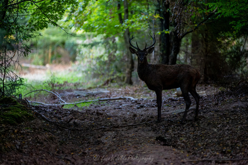


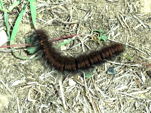
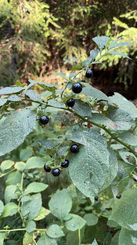
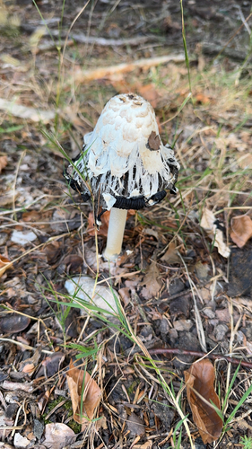
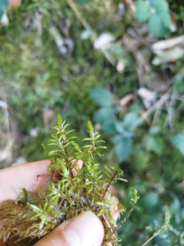
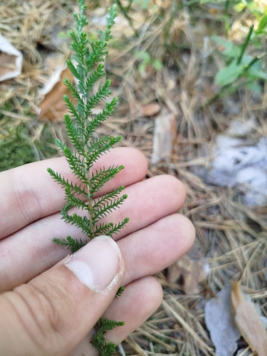
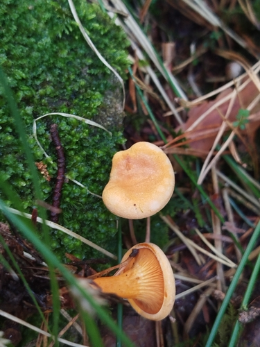
Research-grade observations from iNaturalist (within ~15 mi).
Events
Gallery
Official Identifiers
INSEE — French National Institute of Statistics
- INSEE code
- 67437
- Department
- 67
- Region
- 44
- Population (Wikidata)
- 11,460
geo.api.gouv.fr
Sources
- • Wikipedia
- • Wikidata
- • iNaturalist
- • Open-Meteo / sunrise-sunset.org
- • Wikipedia Pageviews API
- • Wikidata SPARQL (CC0) — population, area, elevation, inception, head of government, Commons image
- • INSEE — French national statistics, via geo.api.gouv.fr (official commune code, population, surface, department, region)
- • INSEE — French National Institute of Statistics — geo.api.gouv.fr