Browse / France / Auvergne-Rhône-Alpes / Sciez
Sciez
Auvergne-Rhône-Alpesvillage
Total population
6,351
Air quality index
Demographic figures from INSEE. Overview below cites Wikipedia and may reference a different year.
City facts
Facts from Wikidata (CC0).
Overview
Found in Auvergne-Rhône-Alpes, France, Sciez is classified as a small village in public datasets. Census-style estimates put the resident count near 6,351. Its coordinates of 46.331°, 6.375° place it in the temperate zone of the northern hemisphere. Administratively it falls within the 84 province. Its latitude implies a climate characterised by four distinct seasons with warm summers and cold winters. Local weather statistics describe average highs near 60.3°F and lows near 48.6°F, alongside about 45 in of annual precipitation (a wet total). The location receives about 1,309 kWh/m² of solar irradiance per year and sunshine for roughly 51% of daylight hours. Further detail — demographics, climate, nearby amenities and natural-hazard data — is compiled below from public open-data sources.
Summary composed automatically from structured open data on this page. See our Terms for details.
History & geography
History
Prehistory: Late Neolithic : Around -2400, a branch of the Saône-Rhône civilization, from Western Switzerland (Cordée Civilization) slowly locates on the banks of the Léman lake (Excenevex, Chens, Sciez). They exported their productions (copper beads, axes-hammers) all the way to the South of Dauphine via Annecy, Fillinges, Haute-Savoie… Bronze Age (1000 before J.C.) : Searches in the cemeteries of Douvaine and Sciez in 1977 demonstrated a strong implantation in the region. In the first century the Allobroges (Gaulois) occupied the Chablais as has been shown by discoveries of silver coins in Sciez as well as other nearby communes.
Geography
The commune is located on the border of the Apline chain and of the Lac Léman. The commune is in the département of Haute-Savoie in the region called Auvergne-Rhône-Alpes. Sciez is in the Chablais, between Evian and Geneva, near Douvaine, the medieval town of Yvoire and Thonon-les-bains. Sciez is also not far from the ski slopes Portes du Soleil (Avoriaz, Morzine, Chatel, Les Gets, Abondance) but also close from Chamonix and Mont Blanc. The climate is influenced by the nearby mountains, but the lake creates a micro-climate, which allows Sciez to enjoy relatively mild winters with temperatures averaging 0 (minimum) to 5 (maximum) Celsius, in December–January. It occasionally snows in the winter, but not always by the lake. Snow is easily accessible in the nearby mountains. Summers are temperate with an average of 13 (minimum) to 25 (maximum) Celsius, in July–August, and certain inhabitants manage to grow palm trees in their gardens. Sciez is located on the old Route Nationale 5 (RN5), now Départementale 1005 (D1005). This road while crossing the commune changes name and is called: Avenue de Genève, Avenue de Sciez et Avenue de Bonnatrait. Sciez is near the small train station of Perrignier. Regular buses serve Sciez on the Genève-Douvaine-Thonon-Evian axis. Regular buses serve Genève, Thonon and Evian. Sciez harbour connects with a few other harbours around the Lac Léman with boats from the Compagnie Générale de Navigation sur le lac Léman. The commune is composed of a main town and of several hamlets and localities which are : * Bonnatrait * Chavannex * Filly * La Fattaz (Arpitan language toponym meaning the pocket) * Coudrée (Domaine de) * Excuvilly * Choisy * Port de Sciez * Songy * La Renouillère * Chef-Lieu * Sur les Crêts * Marignan (Morgnan, the Arpitan…
Excerpted from the corresponding Wikipedia article (CC BY-SA).
Geography
Coordinates & boundaries from the US Census TIGER/Line shapefiles.
Climate
10-year averages from ERA5 reanalysis (Open-Meteo).
Air quality
Current readings from Open-Meteo Air Quality API (Copernicus CAMS European reanalysis).
Walkability
Amenities nearby
Wildlife & biodiversity
Most-observed species
- Yellow-legged hornetVespa velutina Lepeletier, 1836 · Insecta6,185
- House SparrowPasser domesticus (Linnaeus, 1758) · Aves5,167
- Carrion CrowCorvus corone Linnaeus, 1758 · Aves4,910
- Common Wood-PigeonColumba palumbus Linnaeus, 1758 · Aves4,375
- Eurasian BlackbirdTurdus merula Linnaeus, 1758 · Aves4,060
- MallardAnas platyrhynchos Linnaeus, 1758 · Aves3,697
- Great TitParus major Linnaeus, 1758 · Aves3,640
- Eurasian Blue TitCyanistes caeruleus (Linnaeus, 1758) · Aves3,631
Citizen-science & research observations from the Global Biodiversity Information Facility (GBIF).
Earthquake history
Most recent
- M 3.6 — 2026-01-124 km SSW of Les Houches, France
- M 3.2 — 2024-05-099 km SW of Evolène, Switzerland
- M 3.3 — 2022-09-257 km ESE of Ar?ches-la-Frasse, France
- M 4.5 — 2022-03-123 km S of Faverges, France
- M 4.1 — 2021-10-0510 km SSW of Evolène, Switzerland
- M 3.4 — 2020-06-2311 km ESE of Samoëns, France
Events from the USGS Earthquake Catalog (global) (FDSN Event Web Service).
Photos
Sights & places nearby
Notable people from here


People born within ~10 km, from Wikidata (CC0). Click any name for their Wikipedia article.
Nearby places in Auvergne-Rhône-Alpes
- Allinges4.3 mi away · pop. 4,853
- Saint-Cergues7.1 mi away · pop. 3,714
- Publier8.9 mi away · pop. 7,646
- Divonne-les-Bains11.2 mi away · pop. 10,137
- Évian-les-Bains11.3 mi away · pop. 9,214
- Vétraz-Monthoux12.2 mi away · pop. 9,874
- Morzine19.1 mi away · pop. 2,660
- Marnaz20.2 mi away · pop. 5,827
- Viry21.9 mi away · pop. 5,635
- Thorens-Glières23.9 mi away · pop. 9,547
- Magland24.5 mi away · pop. 3,251
- Jonzier25.8 mi away · pop. 835
Geography & sun
Elevation, sunrise/sunset and daylight from Open-Meteo. Solar climatology from NASA POWER.
Nearby airports
Public attention
Pageview totals from the Wikimedia Pageviews API.
Books about this place
Recent natural events nearby
Ground air-quality sensors
Recently spotted species
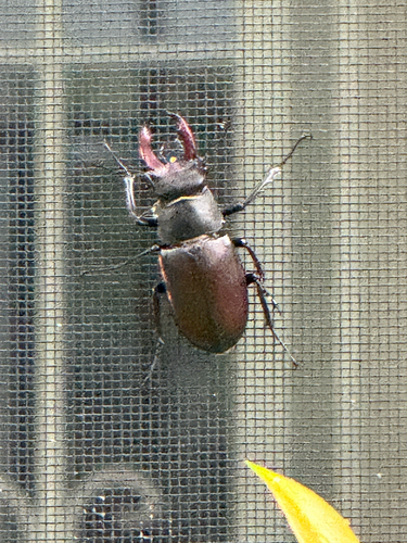
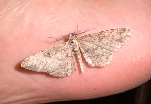

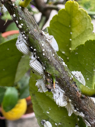

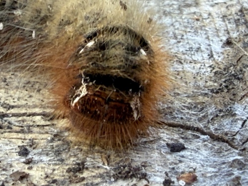
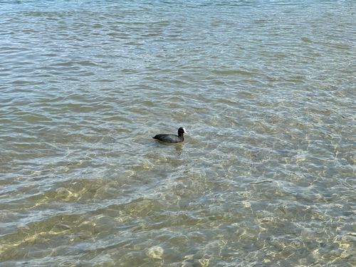

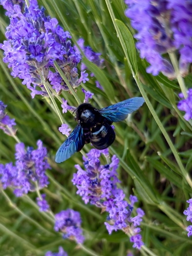
Research-grade observations from iNaturalist (within ~15 mi).
Events
Gallery
Geotagged photos within ~6 miles of Sciez, from Wikimedia Commons contributors.
.jpeg) 0.1 mi
0.1 mi 0.1 mi
.jpg) 0.2 mi
0.2 mi.jpg) 0.2 mi
0.2 mi.jpg) 0.2 mi
0.2 mi 0.5 mi
.jpg) 0.8 mi
0.8 mi.jpg) 0.8 mi
0.8 mi.jpg) 1 mi
1 mi.jpg) 1 mi
1 mi 1.5 mi
 1.5 mi
 1.5 mi
.JPG) 1.8 mi
1.8 mi 1.9 mi
.jpeg) 1.9 mi
1.9 mi.JPG) 1.9 mi
1.9 mi.JPG) 1.9 mi
1.9 mi.JPG) 2 mi
2 mi.JPG) 2 mi
2 mi 2 mi
2 mi 2 mi
2 mi 2 mi
2 mi 2 mi
2 miPhotos via Wikimedia Commons — see each image page for license & attribution.
Official Identifiers
INSEE — French National Institute of Statistics
- INSEE code
- 74263
- Department
- 74
- Region
- 84
- Population (Wikidata)
- 6,447
geo.api.gouv.fr
Sources
- • Wikipedia
- • Open-Meteo (ERA5 reanalysis)
- • Wikimedia Commons
- • Wikidata
- • Open-Meteo Air Quality (CAMS)
- • USGS Earthquake Catalog (global feed)
- • GBIF (Global Biodiversity Information Facility)
- • iNaturalist
- • Open-Meteo / sunrise-sunset.org
- • Wikipedia Pageviews API
- • INSEE — French national statistics, via geo.api.gouv.fr (official commune code, population, surface, department, region)
- • INSEE — French National Institute of Statistics — geo.api.gouv.fr