Browse / France / Provence-Alpes-Côte d'Azur / Sigale
Sigale
Provence-Alpes-Côte d'Azurvillage

Sigale
Total population
199
Demographic figures from INSEE. Overview below cites Wikipedia and may reference a different year.
City facts
Facts from Wikidata (CC0).
Overview
Sigale is a rural commune in the Alpes-Maritimes department in the southeastern Provence-Alpes-Côte d'Azur region in France. It is part of Préalpes d'Azur Regional Natural Park.
Read more on WikipediaHistory & geography
Geography
Coordinates & boundaries from the US Census TIGER/Line shapefiles.
Climate
Air quality
Walkability
Amenities nearby
Wildlife & biodiversity
Most-observed species
- Common ChaffinchFringilla coelebs Linnaeus, 1758 · Aves661
- Eurasian GriffonGyps fulvus (Hablizl, 1783) · Aves618
- European RobinErithacus rubecula (Linnaeus, 1758) · Aves530
- Eurasian BlackbirdTurdus merula Linnaeus, 1758 · Aves485
- Eurasian BlackcapSylvia atricapilla (Linnaeus, 1758) · Aves459
- Stinking HelleboreHelleborus foetidus L. · Magnoliopsida404
- Three-toothed orchidNeotinea tridentata (Scop.) R.M.Bateman, Pridgeon & M.W.Chase · Liliopsida372
- Great TitParus major Linnaeus, 1758 · Aves369
Citizen-science & research observations from the Global Biodiversity Information Facility (GBIF).
Earthquake history
Most recent
- M 2.5 — 2025-03-201 km WSW of Cantaron, France
- M 3.1 — 2025-03-181 km ESE of Tourrette-Levens, France
- M 3.3 — 2025-03-182 km N of Berre-les-Alpes, France
- M 3.9 — 2024-12-098 km WNW of Acceglio, Italy
- M 4.1 — 2023-11-2110 km WSW of Acceglio, Italy
- M 4.1 — 2023-05-1616 km W of Pleyne, Italy
Events from the USGS Earthquake Catalog (global) (FDSN Event Web Service).
Photos
Sights & places nearby
Notable people from here
Geography & sun
Elevation, sunrise/sunset and daylight from Open-Meteo. Solar climatology from NASA POWER.
Nearby airports
Public attention
Pageview totals from the Wikimedia Pageviews API.
Books about this place
Recent natural events nearby
Ground air-quality sensors
Recently spotted species
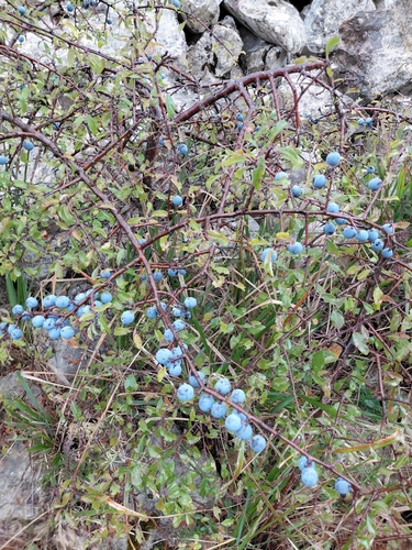
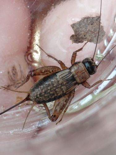
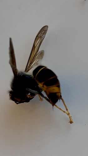
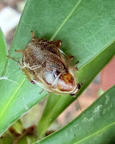
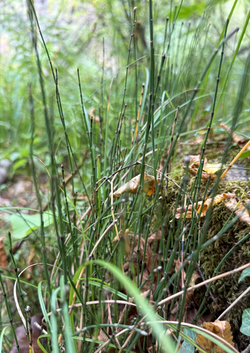
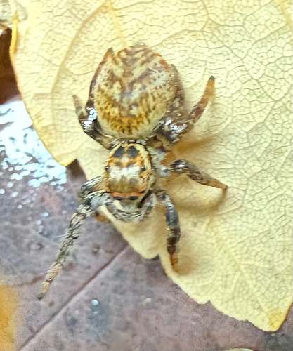
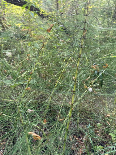
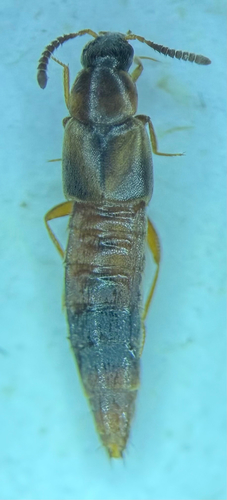
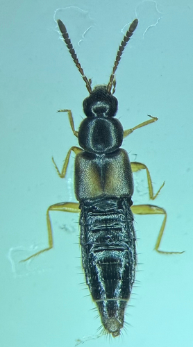
Research-grade observations from iNaturalist (within ~15 mi).
Events
Gallery
Official Identifiers
INSEE — French National Institute of Statistics
- INSEE code
- 06135
- Department
- 06
- Region
- 93
- Population (Wikidata)
- 204
geo.api.gouv.fr
Sources
- • Wikipedia
- • Wikidata
- • USGS Earthquake Catalog (global feed)
- • GBIF (Global Biodiversity Information Facility)
- • iNaturalist
- • Open-Meteo / sunrise-sunset.org
- • Wikipedia Pageviews API
- • INSEE — French national statistics, via geo.api.gouv.fr (official commune code, population, surface, department, region)
- • INSEE — French National Institute of Statistics — geo.api.gouv.fr