Browse / France / Nouvelle-Aquitaine / Soyaux
Soyaux
Nouvelle-Aquitainetown

Soyaux
Total population
9,995
Demographic figures from INSEE. Overview below cites Wikipedia and may reference a different year.
City facts
Sister cities
Facts from Wikidata (CC0).
Overview
Soyaux is a commune in the Charente department in the Nouvelle-Aquitaine region in southwestern France. Situated east of Angoulême, it is one of the suburbs of the Angoulême urban area.
Read more on WikipediaHistory & geography
Geography
=== Location and Access === Soyaux is a commune located directly east of Angoulême, on the road to Périgueux. It is part of Greater Angoulême, and is the second most populated commune after Angoulême, and the third most populated commune in the department after Cognac. It is crossed by the D939, the former National Route 139, from La Rochelle to Périgueux via Angoulême. The town is bypassed to the east by the Angoulême eastern ring road (D1000), which, from 2006, runs south towards Puymoyen and Angoulême - Ma Campagne, and north towards L'Isle-d'Espagnac. The latter half was opened in 2010. The ring road intersects the Périgueux road at the Effamiers roundabout. The D121 also crosses the commune, from the D939 to Isle-d'Espagnac and Gond-Pontouvre. It passes through Vieux Bourg and Les Rochers. It runs alongside the ring road, as the latter does not have an interchange serving this part of Isle-d'Espagnac.. The largest neighborhood in Soyaux is "Le Champ de Manœuvre," a social housing estate built in the 1960s and 1970s. It includes buildings of no more than five stories, as well as three 14-story towers. The old village of Soyaux, quite small, is located just north of the Périgueux road. The parish church is situated there. The neighborhoods of Beaumont, near the Chanzy stadium, Grapillet, Terre Neuve, Tout-y-Faut, and La Cigogne are part of the urban area. The other hamlets are: Recoux, les Rochers, Bois Menu, Antornac (also spelled Antournac, or Antournat at the beginning of the 20th century), Montboulard, la Croix Blanche, Frégeneuil, le Pétureau, le Peux, etc..
Excerpted from the corresponding Wikipedia article (CC BY-SA).
Geography
Coordinates & boundaries from the US Census TIGER/Line shapefiles.
Climate
Air quality
Walkability
Amenities nearby
Wildlife & biodiversity
Earthquake history
Photos
Sights & places nearby
Notable people from here


People born within ~10 km, from Wikidata (CC0). Click any name for their Wikipedia article.
Nearby places in Nouvelle-Aquitaine
- Touvre3.6 mi away · pop. 1,141
- Saint-Yrieix-sur-Charente3.9 mi away · pop. 7,525
- Fléac4.9 mi away · pop. 3,842
- Linars5.3 mi away · pop. 2,096
- Nersac6.9 mi away · pop. 2,289
- Claix9.4 mi away · pop. 1,062
- Châteauneuf-sur-Charente12.3 mi away · pop. 3,554
- Sainte-Croix-de-Mareuil16.7 mi away · pop. 148
- Mareuil18.2 mi away
- Gout-Rossignol18.3 mi away · pop. 365
- Cherval19.2 mi away · pop. 231
- Bussière-Badil19.9 mi away · pop. 373
Geography & sun
Nearby airports
Public attention
Books about this place
Recent natural events nearby
Ground air-quality sensors
Recently spotted species
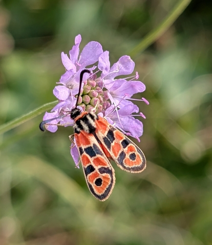
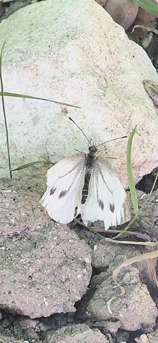
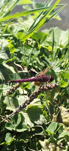
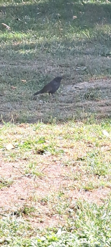
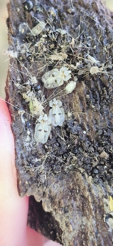
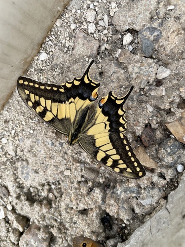
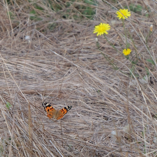
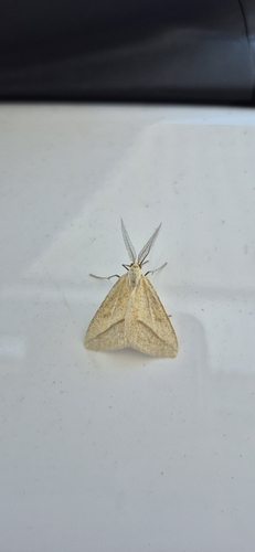
Research-grade observations from iNaturalist (within ~15 mi).
Events
Gallery
Official Identifiers
INSEE — French National Institute of Statistics
- INSEE code
- 16374
- Department
- 16
- Region
- 75
- Population (Wikidata)
- 10,087
geo.api.gouv.fr
Sources
- • Wikipedia
- • Wikidata
- • iNaturalist
- • Wikidata SPARQL (CC0) — population, area, elevation, inception, head of government, Commons image
- • INSEE — French national statistics, via geo.api.gouv.fr (official commune code, population, surface, department, region)
- • INSEE — French National Institute of Statistics — geo.api.gouv.fr