Browse / France / Auvergne-Rhône-Alpes / Termignon
Termignon
Auvergne-Rhône-Alpesvillage
Total population
2,067
Air quality index
Demographic figures from INSEE. Overview below cites Wikipedia and may reference a different year.
City facts
Overview
Found in Auvergne-Rhône-Alpes, France, Termignon is classified as a village in public datasets. Census-style estimates put the resident count near 2,067. Located at 45.277°, 6.817°, Termignon occupies a temperate portion of the northern hemisphere. Based on its temperate position, residents likely encounter four distinct seasons with warm summers and cold winters. Local weather statistics describe average highs near 53.2°F and lows near 37.3°F, alongside about 42.5 in of annual precipitation (a moderate total). Continue scrolling for population, climate, environmental and points-of-interest data drawn from public sources.
Summary composed automatically from structured open data on this page. See our Terms for details.
History & geography
Geography
Coordinates & boundaries from the US Census TIGER/Line shapefiles.
Climate
10-year averages from ERA5 reanalysis (Open-Meteo).
Air quality
Current readings from Open-Meteo Air Quality API (Copernicus CAMS European reanalysis).
Walkability
Amenities nearby
Wildlife & biodiversity
Most-observed species
- Dark Vanilla OrchidGymnadenia rhellicani (Teppner & E.Klein) Teppner & E.Klein · Liliopsida1,496
- Alpine marmotMarmota marmota (Linnaeus, 1758) · Mammalia711
- Eurasian NutcrackerNucifraga caryocatactes (Linnaeus, 1758) · Aves698
- Yellow-billed ChoughPyrrhocorax graculus (Linnaeus, 1766) · Aves661
- Northern WheatearOenanthe oenanthe (Linnaeus, 1758) · Aves626
- EdelweissLeontopodium nivale (Ten.) A.Huet ex Hand.-Mazz. · Magnoliopsida561
- Black RedstartPhoenicurus ochruros (S.G.Gmelin, 1774) · Aves514
- Yellow GentianGentiana lutea L. · Magnoliopsida513
Citizen-science & research observations from the Global Biodiversity Information Facility (GBIF).
Earthquake history
Most recent
- M 3.6 — 2026-01-124 km SSW of Les Houches, France
- M 3.3 — 2025-05-068 km W of Chapareillan, France
- M 3.9 — 2024-12-098 km WNW of Acceglio, Italy
- M 3.2 — 2024-05-099 km SW of Evolène, Switzerland
- M 4.1 — 2023-11-2110 km WSW of Acceglio, Italy
- M 4.1 — 2023-05-1616 km W of Pleyne, Italy
Events from the USGS Earthquake Catalog (global) (FDSN Event Web Service).
Photos
Sights & places nearby
Notable people from here
Nearby places in Auvergne-Rhône-Alpes
- Modane8.7 mi away · pop. 2,944
- Aime20.9 mi away · pop. 4,421
- Gilly-sur-Isère34.8 mi away · pop. 3,076
- Ugine37.8 mi away · pop. 7,148
- Saint-Pierre-d'Albigny37.9 mi away · pop. 4,170
- Saint-Pierre-d'Allevard38.1 mi away · pop. 3,389
- Le Grand-Châtain38.6 mi away · pop. 179
- Montmélian39.9 mi away · pop. 4,058
- Crolles45.4 mi away · pop. 8,317
- La Ravoire45.7 mi away · pop. 9,042
- Thônes48.1 mi away
- Saint-Martin-d'Uriage48.4 mi away · pop. 5,483
Geography & sun
Nearby airports
Public attention
Books about this place
Recent natural events nearby
Ground air-quality sensors
Recently spotted species
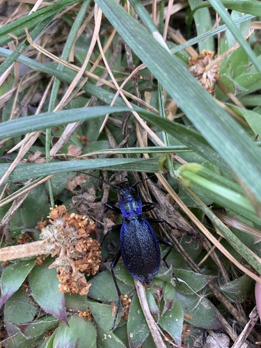
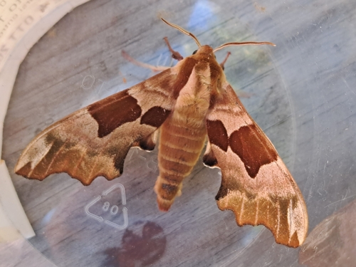

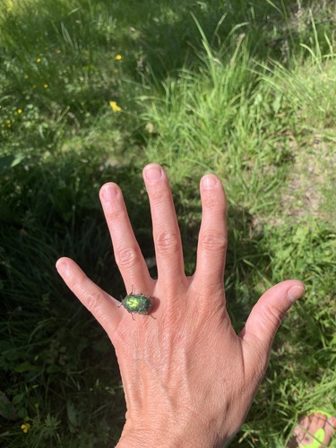
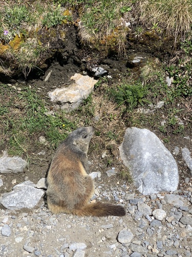
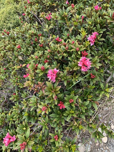
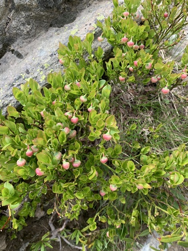
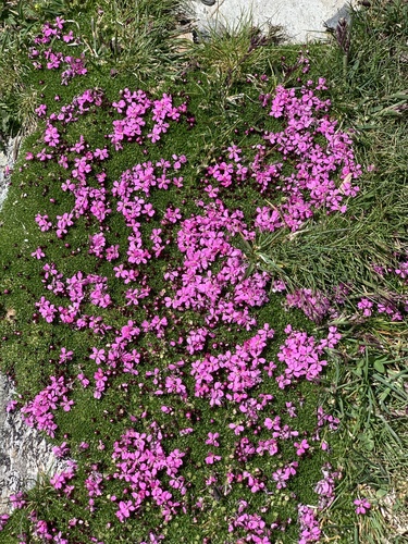
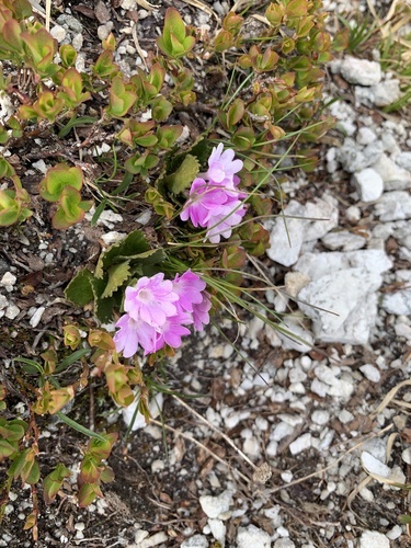
Research-grade observations from iNaturalist (within ~15 mi).
Events
Gallery
Official Identifiers
INSEE — French National Institute of Statistics
- INSEE code
- 73290
- Population (Wikidata)
- 351
- Wikidata
- Q569751
geo.api.gouv.fr
Sources
- • Open-Meteo (ERA5 reanalysis)
- • Open-Meteo Air Quality (CAMS)
- • USGS Earthquake Catalog (global feed)
- • GBIF (Global Biodiversity Information Facility)
- • iNaturalist
- • INSEE — French national statistics, via geo.api.gouv.fr (official commune code, population, surface, department, region)
- • INSEE — French National Institute of Statistics — geo.api.gouv.fr