Browse / France / Provence-Alpes-Côte d'Azur / Théus
Théus
Provence-Alpes-Côte d'Azurvillage

Featured view
Théus
Total population
225
Elevation635 m
Land area16.71 km²
Coordinates44.48°, 6.19°
Demographic figures from INSEE. Overview below cites Wikipedia and may reference a different year.
Loading additional data from public sources…0 / 11
CensusWikipediaWeatherPlacesPeopleEnvironmentHealth & SchoolsRelatedGeography & CultureLive MonitoringEvents & Gallery
0% completeCity facts
Elevation
635 m
Area
16.71 km²
Facts from Wikidata (CC0).
Overview
Théus is a commune in the Hautes-Alpes department in southeastern France.
Read more on WikipediaHistory & geography
Geography
Latitude
44.4766
Longitude
6.1881
Water area
—
Coordinates & boundaries from the US Census TIGER/Line shapefiles.
Climate
Air quality
Walkability
Amenities nearby
Wildlife & biodiversity
Earthquake history
Photos
Sights & places nearby
Notable people from here
Geography & sun
Avg solar (kWh/m²/day)
4.08
Annual solar (kWh/m²)
1,490
Elevation, sunrise/sunset and daylight from Open-Meteo. Solar climatology from NASA POWER.
Nearby airports
Public attention
Wikipedia views (last 30 days)
27
Avg daily Wikipedia views
1
Attention level
Obscure
Pageview totals from the Wikimedia Pageviews API.
Books about this place
Recent natural events nearby
Ground air-quality sensors
Recently spotted species
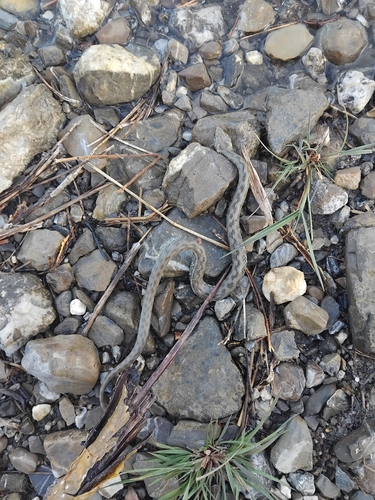
Viperine Snake
Natrix maura
Seen 2026-09-20
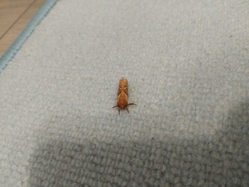
Orange Swift
Triodia sylvina
Seen 2026-09-18
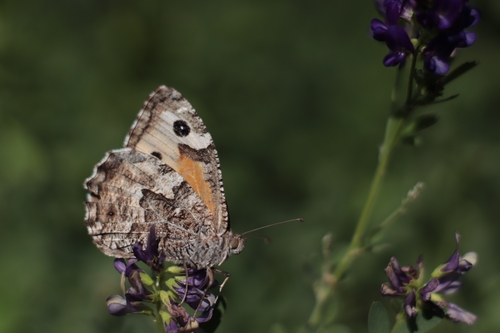
Grayling
Hipparchia semele
Seen 2026-09-17
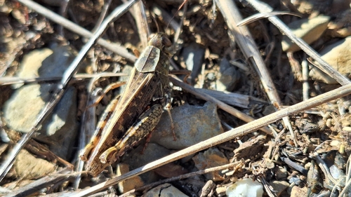
Italian locust
Calliptamus italicus
Seen 2026-09-17
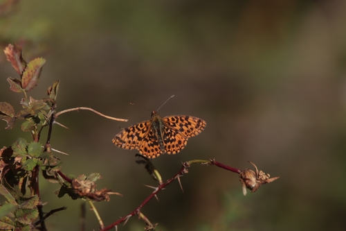
Weaver's Fritillary
Boloria dia
Seen 2026-09-17
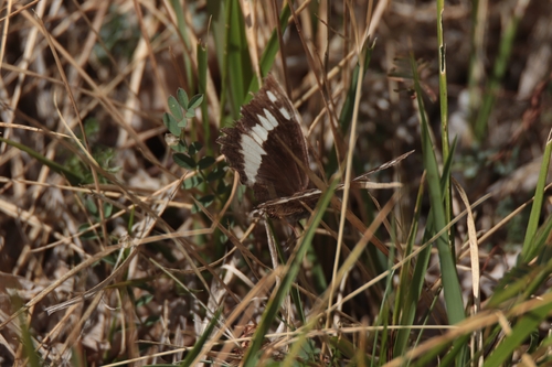
Great Banded Grayling
Brintesia circe
Seen 2026-09-17
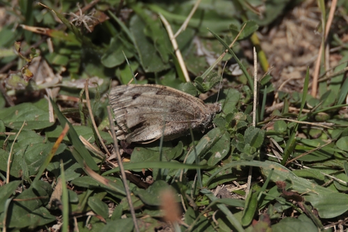
The Hermit
Chazara briseis
Seen 2026-09-17
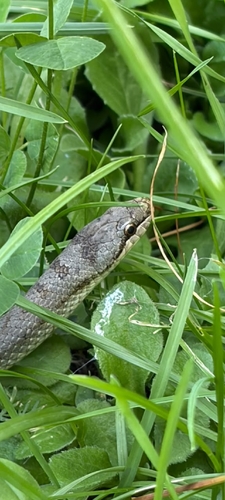
Smooth Snake
Coronella austriaca
Seen 2026-09-16
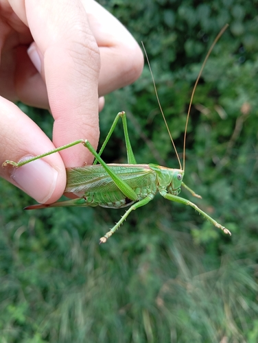
Great Green Bush-cricket
Tettigonia viridissima
Seen 2026-09-16
Research-grade observations from iNaturalist (within ~15 mi).
Events
Gallery
Official Identifiers
INSEE — French National Institute of Statistics
- INSEE code
- 05171
- Department
- 05
- Region
- 93
- Population (Wikidata)
- 232
geo.api.gouv.fr
Sources
- • Wikipedia
- • Wikidata
- • iNaturalist
- • Open-Meteo / sunrise-sunset.org
- • Wikipedia Pageviews API
- • INSEE — French national statistics, via geo.api.gouv.fr (official commune code, population, surface, department, region)
- • INSEE — French National Institute of Statistics — geo.api.gouv.fr