Browse / France / Grand Est / Thionville
Thionville
Grand Esttown

Thionville
Total population
42,163
Demographic figures from INSEE. Overview below cites Wikipedia and may reference a different year.
City facts
Sister cities
Facts from Wikidata (CC0).
Overview
Thionville is a city in the northeastern French department of Moselle. The city is located on the left bank of the river Moselle, opposite its suburb Yutz.
Read more on WikipediaHistory & geography
History
Thionville was settled as early as the time of the Merovingians. After the fall of the Western Roman Empire, the region was inhabited by the Germanic Alamanni. It was known in the Latin of that era as Theudonevilla or Totonisvilla. King Pepin the Short had a royal palace constructed here. The Synod of Thionville was held here beginning on 2 February 835. It reinstated Emperor Louis the Pious and reversed his former conviction on crimes — none of which he actually committed — and deposed the Archbishop of Rheims, Ebbo. The Synod was composed of 43 bishops. On 28 February 835, in Mainz, Ebbo admitted that Louis had not committed the crimes of which he had been indicted and for which he had been deposed as Holy Roman Emperor. From the 10th century onward, the area was part of the Holy Roman Empire. It was in possession of the House of Luxembourg until 1462 and then, until 1477, of the Duke of Burgundy. From 1477 to 1643, it was Habsburg territory. Eskil, Archbishop of Lund, was imprisoned at Diedenhofen (at the instigation of the Archbishop of Bremen?) upon his return from his 1153 pilgrimage to Rome. The Siege of Thionville in June 1639 occurred as part of the Thirty Years' War. The Hôtel de Ville was completed in 1641. In 1659 Diedenhofen was annexed by France. Fortifications were constructed under the direction of Sébastien de Vauban. In 1792, Thionville was besieged by the Duke of Brunswick, who unsuccessfully sought to defeat the French Revolution and restore Louis XVI to the royal throne. The writer François-René de Chateaubriand was left for dead during Condé's military émigré expedition against Thionville in 1792. After the Franco-Prussian War of 1870, the area of Alsace-Lorraine was annexed by the newly created German Empire in 1871 by the…
Excerpted from the corresponding Wikipedia article (CC BY-SA).
Geography
Coordinates & boundaries from the US Census TIGER/Line shapefiles.
Climate
Air quality
Walkability
Amenities nearby
Wildlife & biodiversity
Earthquake history
Photos
Sights & places nearby
Notable people from here


People born within ~10 km, from Wikidata (CC0). Click any name for their Wikipedia article.
Nearby places in Grand Est
- Manom1.3 mi away · pop. 3,010
- Illange2.1 mi away · pop. 1,799
- Basse-Ham3.9 mi away · pop. 2,237
- Guénange4.3 mi away · pop. 7,761
- Bousse5.8 mi away · pop. 3,231
- Mondelange6.6 mi away · pop. 5,720
- Hagondange7.2 mi away · pop. 9,321
- Clouange7.5 mi away · pop. 3,359
- Fontoy7.8 mi away · pop. 3,142
- Rombas8.1 mi away · pop. 9,697
- Rosselange8.2 mi away · pop. 2,485
- Talange8.4 mi away · pop. 7,938
Geography & sun
Elevation, sunrise/sunset and daylight from Open-Meteo. Solar climatology from NASA POWER.
Nearby airports
Public attention
Pageview totals from the Wikimedia Pageviews API.
Books about this place
Recent natural events nearby
Ground air-quality sensors
Recently spotted species
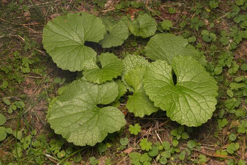




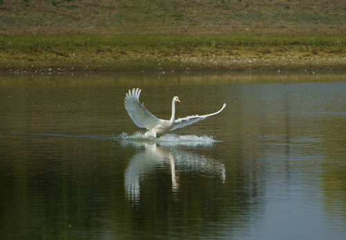
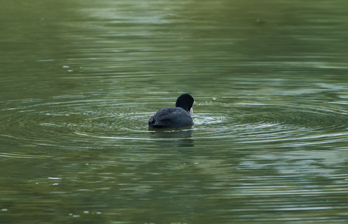


Research-grade observations from iNaturalist (within ~15 mi).
Events
Gallery
Official Identifiers
INSEE — French National Institute of Statistics
- INSEE code
- 57672
- Department
- 57
- Region
- 44
- Population (Wikidata)
- 42,658
geo.api.gouv.fr
Sources
- • Wikipedia
- • Wikidata
- • iNaturalist
- • Open-Meteo / sunrise-sunset.org
- • Wikipedia Pageviews API
- • Wikidata SPARQL (CC0) — population, area, elevation, inception, head of government, Commons image
- • INSEE — French national statistics, via geo.api.gouv.fr (official commune code, population, surface, department, region)
- • INSEE — French National Institute of Statistics — geo.api.gouv.fr