Browse / France / Grand Est / Toul
Toul
Grand Esttown

Toul
Total population
15,849
Demographic figures from INSEE. Overview below cites Wikipedia and may reference a different year.
City facts
Sister cities
Facts from Wikidata (CC0).
Overview
Toul is a commune in the Meurthe-et-Moselle department in north-eastern France.
Read more on WikipediaHistory & geography
History
Toul was known to the Romans as , and was the capital of the Gaulish tribe of the Leuci. In 550, King Theudebald convoked a synod at Toul. In 612, King Theudebert II of Austrasia was defeated by King Theuderic II of Burgundy near Toul. By the Treaty of Meerssen of 870, Toul became part of East Francia, the later Holy Roman Empire. During the High Middle Ages, it became a Free Imperial City. Toul was annexed to France by King Henry II in 1552; this was recognized by the Holy Roman Empire in the Peace of Westphalia of 1648. It then was a part of the French province of the Three Bishoprics. Toul was the seat of the bishops of Toul; the diocese was founded around 365 and existed until 1807. During the siege of 1870 during the Franco-Prussian War, the last time that Toul's defenses were used as a classic fortress, 64 guns opened fire at 6:00 a.m. on 23 September, and the fortress surrendered at 3:00 p.m. after 2,433 shells had been fired. The city was also the primary base of the Air Service, United States Army, a predecessor organization of the United States Air Force during World War I. As such, it was a base for many of the 45 wartime squadrons of the First Army Air Service, including the squadrons of the 1st Pursuit Group, First Army Observation Group and others. The Americans referred to the area around Toul as the Toul Sector. Two large operations were launched from this area: the St. Mihiel Offensive and the Meuse-Argonne Offensive, both in September 1918. During World War II, the American 358th Fighter Group used Toul-Croix De Metz Airfield (A-90) during the fall of 1944 and spring of 1945, and Toul-Rosières Air Base (BA 136) was an American NATO air base during the 1950s and 1960s.
Geography
Toul is between Commercy and Nancy, and the river Moselle and Canal de la Marne au Rhin. Toul has an oceanic climate (Köppen climate classification Cfb). The average annual temperature in Toul is . The average annual rainfall is with June as the wettest month. The temperatures are highest on average in July, at around , and lowest in January, at around . The highest temperature ever recorded in Toul was on 11 August 1998; the coldest temperature ever recorded was on 9 January 1985.
Excerpted from the corresponding Wikipedia article (CC BY-SA).
Geography
Coordinates & boundaries from the US Census TIGER/Line shapefiles.
Climate
Air quality
Walkability
Amenities nearby
Wildlife & biodiversity
Earthquake history
Photos
Sights & places nearby
Notable people from here


People born within ~10 km, from Wikidata (CC0). Click any name for their Wikipedia article.
Nearby places in Grand Est
- Pompey12.1 mi away · pop. 4,836
- Ludres12.7 mi away · pop. 6,081
- Jarville-la-Malgrange14.1 mi away · pop. 9,374
- Lay-Saint-Christophe14.8 mi away · pop. 2,370
- Laneuveville-devant-Nancy15.5 mi away · pop. 6,551
- Neufchâteau24 mi away · pop. 6,580
- Blainville-sur-l'Eau24.9 mi away · pop. 3,927
- Vitrimont25.5 mi away · pop. 390
- Châtenois25.7 mi away · pop. 1,720
- Grand27.4 mi away · pop. 356
- Sponville27.5 mi away · pop. 111
- Puxieux27.6 mi away · pop. 226
Geography & sun
Elevation, sunrise/sunset and daylight from Open-Meteo. Solar climatology from NASA POWER.
Nearby airports
Public attention
Pageview totals from the Wikimedia Pageviews API.
Books about Toul


Search results from Open Library.
Recent natural events nearby
Ground air-quality sensors
Recently spotted species
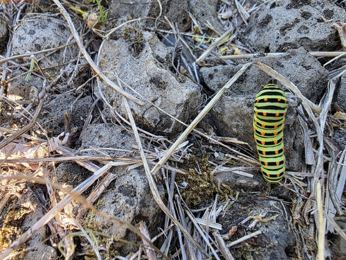
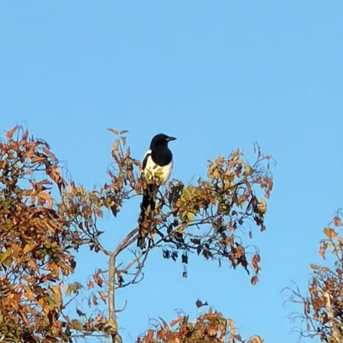

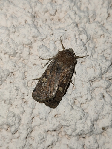

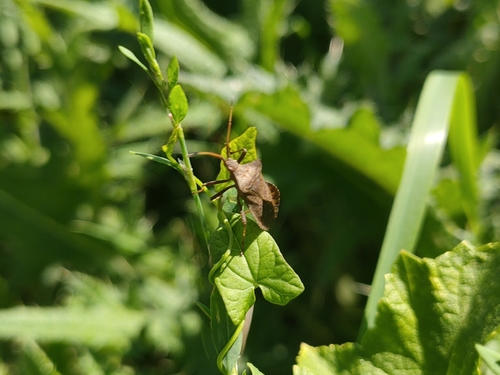
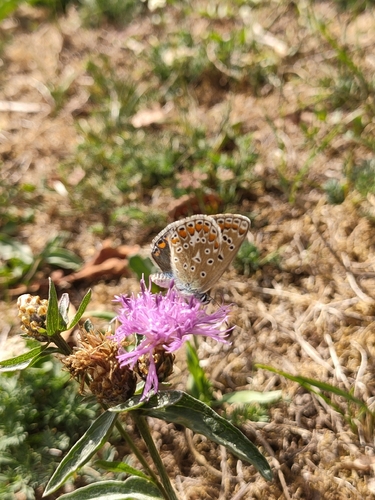
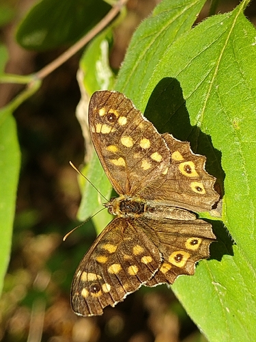

Research-grade observations from iNaturalist (within ~15 mi).
Events
Gallery
Official Identifiers
INSEE — French National Institute of Statistics
- INSEE code
- 54528
- Department
- 54
- Region
- 44
- Population (Wikidata)
- 15,768
geo.api.gouv.fr
Sources
- • Wikipedia
- • Wikidata
- • iNaturalist
- • Open-Meteo / sunrise-sunset.org
- • Wikipedia Pageviews API
- • Open Library
- • Wikidata SPARQL (CC0) — population, area, elevation, inception, head of government, Commons image
- • INSEE — French national statistics, via geo.api.gouv.fr (official commune code, population, surface, department, region)
- • INSEE — French National Institute of Statistics — geo.api.gouv.fr