Browse / France / Nouvelle-Aquitaine / Treignac
Treignac
Nouvelle-Aquitainevillage

Treignac
Total population
1,263
Demographic figures from INSEE. Overview below cites Wikipedia and may reference a different year.
City facts
Sister cities
Facts from Wikidata (CC0).
Overview
Treignac is a commune in the Corrèze department in central France. Treignac, designated one of the 'most beautiful villages of France', is a most typically French town retaining much of its medieval character, situated on the banks of the Vézère river on one of the pilgrimage routes to Santiago de Compostela, the burial place of St James the Apostle along the way known as the Via Lemovicensis and crosses the 13th-century bridge over the river. During the Hundred Years' War, it was pillaged by Rodrigo de Villandrando.
Read more on WikipediaHistory & geography
History
Founded around 800 AD, its first Chateau or Castle was built around the year 1000 on an inaccessible rock outcrop on a loop of the Vezere and at the same time the city walls were commenced of which the Chabirande gate of the 13th century still survives although the ramparts were destroyed at the start of the 19th century. The Chateau was the stronghold of the lands of the Medieval dynasty the Vicomte de Comborn, who had as its first head the man known as Archambaud the butcher, as result of his cruel rule. At Treignac, on the high point now called Les églises, not far from the fountain of Saint Méen, was the starting point of this settlement, the first houses were built around the churches of Saint-Martin, Saint-Léobon and Saint-Jean, now disappeared. The Church of Saint Martin was attached to the monastery at Uzerche. During the High Middle Ages, there were two main places in the current territory of the commune of Treignac: Manzannes and Treignac. In Manzannes, a priory was established, dedicated to the Notre Dame, attached to the monastery of Ventadour (Order of Cluny). The current parish church is the Church of Our Lady built originally in the 13C in Romanesque style and formerly part of the Chateau it was originally known as Notre-Dame-de-la-Basse-Cour and later Notre-Dame-des-Bans, when rebuilt in 1471. The bell tower was built in 1602 and one door in the style of Louis XIII (1610-1643) remains. Treignac was a free city following three charters: 1205, 1284 and 1438. The city was governed by four consuls. The Fleyssac house was built in the 15th century against the ramparts and buttresses of the gate of Pradelle, it was sold to the Protestants in 1638, where they celebrated their worship for the following 50 years. The town has been sacked by armies…
Geography
Treignac is a commune located in the Massif Central on the Plateau de Millevaches. The village is built between 400 and 500 metres above sea level, at the foot of the Massif des Monédières, in the gorges of the Vézère river, at the gates of the Parc naturel régional de Millevaches en Limousin (Regional Natural Park of Millevaches in Limousin). The site is limited to the west by the Rocher des Folles and to the east by the Saut de la Virolle. The waters of the Vézère are retained upstream of the village by the Barrage de Treignac (dam), forming the lac des Bariousses (lake). The commune is also watered by a tributary of the Vézère, the Alambre, and the stream called Ruisseau de la Cassière, a tributary of the Soudaine, itself a tributary of the Vézère. Influenced by an Atlantic oceanic climate, it gives rise to a very green natural vegetation.
Excerpted from the corresponding Wikipedia article (CC BY-SA).
Geography
Coordinates & boundaries from the US Census TIGER/Line shapefiles.
Climate
Air quality
Walkability
Amenities nearby
Wildlife & biodiversity
Earthquake history
Photos
Sights & places nearby
Notable people from here
Nearby places in Nouvelle-Aquitaine
- Chamboulive8.4 mi away · pop. 1,164
- Domps9.5 mi away · pop. 99
- Seilhac12.4 mi away · pop. 1,797
- Eymoutiers14.2 mi away · pop. 2,094
- Égletons15.1 mi away · pop. 4,293
- Beaumont-du-Lac16.3 mi away · pop. 139
- Meymac17.1 mi away · pop. 2,279
- Lubersac19.9 mi away · pop. 2,253
- Cheissoux21.6 mi away · pop. 221
- Sainte-Fortunade22.7 mi away · pop. 1,788
- Coussac-Bonneval22.8 mi away · pop. 1,287
- Ussel25.1 mi away · pop. 9,159
Geography & sun
Elevation, sunrise/sunset and daylight from Open-Meteo. Solar climatology from NASA POWER.
Nearby airports
Public attention
Pageview totals from the Wikimedia Pageviews API.
Books about this place
Recent natural events nearby
Ground air-quality sensors
Recently spotted species
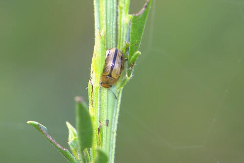
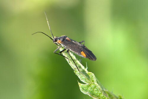
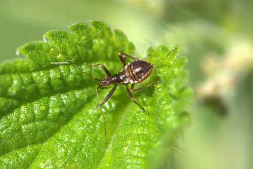
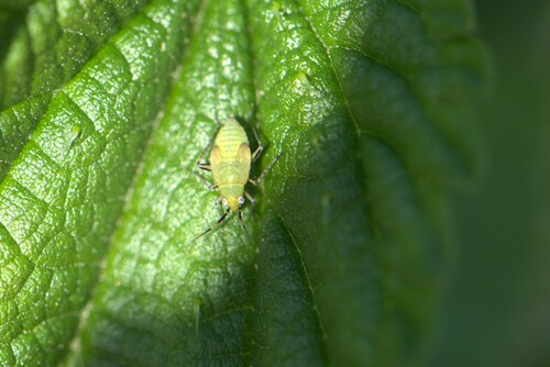
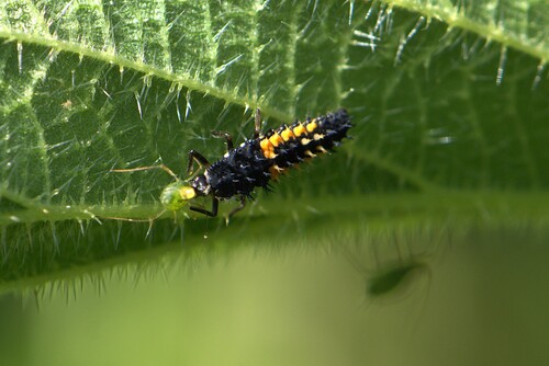

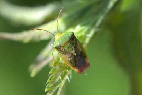
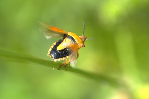
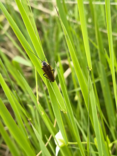
Research-grade observations from iNaturalist (within ~15 mi).
Events
Gallery
Official Identifiers
INSEE — French National Institute of Statistics
- INSEE code
- 19269
- Department
- 19
- Region
- 75
- Population (Wikidata)
- 1,256
geo.api.gouv.fr
Sources
- • Wikipedia
- • Wikidata
- • iNaturalist
- • Open-Meteo / sunrise-sunset.org
- • Wikipedia Pageviews API
- • INSEE — French national statistics, via geo.api.gouv.fr (official commune code, population, surface, department, region)
- • INSEE — French National Institute of Statistics — geo.api.gouv.fr